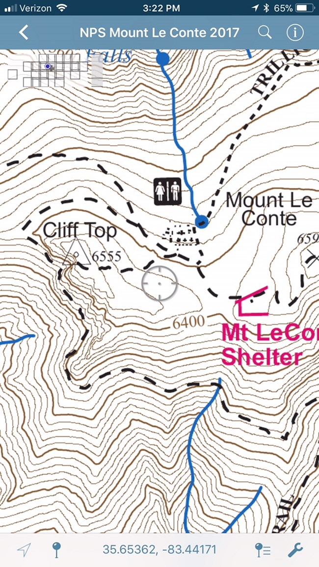
NPS Photo Many areas of the park do not have cellular service, but that doesn't mean you can't use your mobile electronic device to map your adventure! The park has made available for free the full set of incredibly detailed 2017 topographic maps for use with the free Avenza Maps mobile application. These maps include trails, backcountry camp sites, grid tic marks, and contour lines. In addition, the application allows users to record and share waypoints, tracklogs, and geo-enabled photographs. Here's how to get the topographic maps on your mobile device:
Downloading the application and the maps may incur data charges on your device for which the National Park Service is not responsible. In addition, the National Park Service can provide no support for the use of the application or the maps. These NPS-produced maps can also be used independently with no requirement to install applications. The geo-referenced park topographic maps are available on the NPS Data Store. |
Last updated: September 14, 2023
