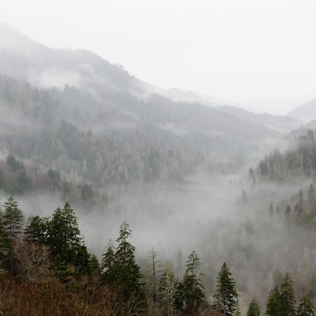
AlertsSpecial Closure Laurel Falls Trail is closed as of January 6, 2025, for about 18 months of rehabilitation work. (Laurel Falls Trail is closed from the trailhead on Fighting Creek Gap Road up to the junction with Little Greenbrier and Cove Mountain trails. For Sugarlands Mountain Trail, the trail is closed from the trailhead on Fighting Creek Gap Road up to the junction with Huskey Gap Trail.)
Closures & Conditions View more information on current closures and conditions in the park.
Trails, backcountry campsites, and shelters may have warnings or closures. Check current trail closures before coming to the park.
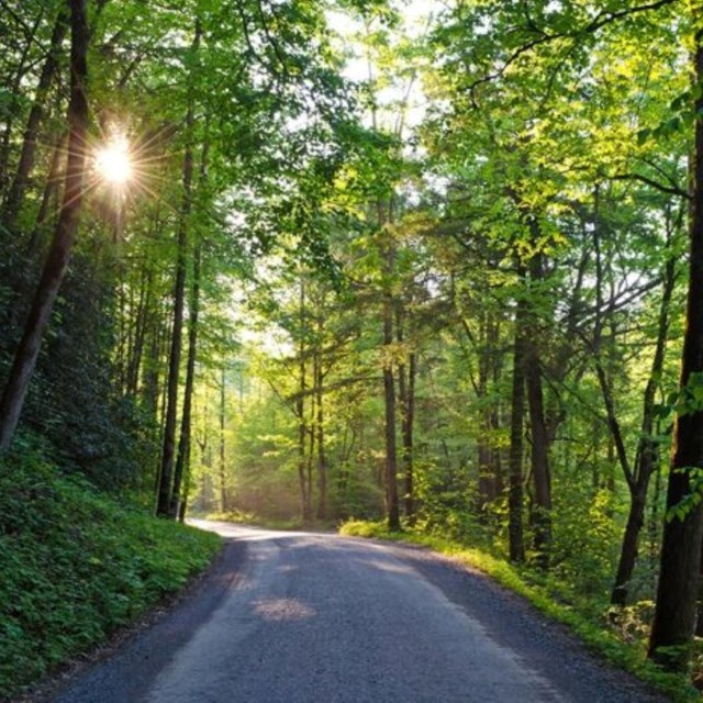
Visitor Centers in the park are open year-round, except Christmas Day. Daily operating hours for visitor centers. Cades Cove, Deep Creek, Greenbrier and Metcalf Bottoms picnic areas are open year-round. Check the status of the remaining picnic areas.
The United States Geological Survey (USGS) maintains water gages that measure flow, river height, and temperature at Little River near Townsend, TN and in Cataloochee Creek in North Carolina. Note that on the discharge chart, the average streamflow is represented by an orange triangle, so that you can compare today's flow to the historic average.
Little River conditions Cataloochee Creek conditions
|
Last updated: May 20, 2026