|
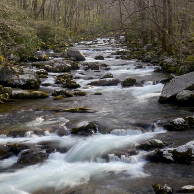
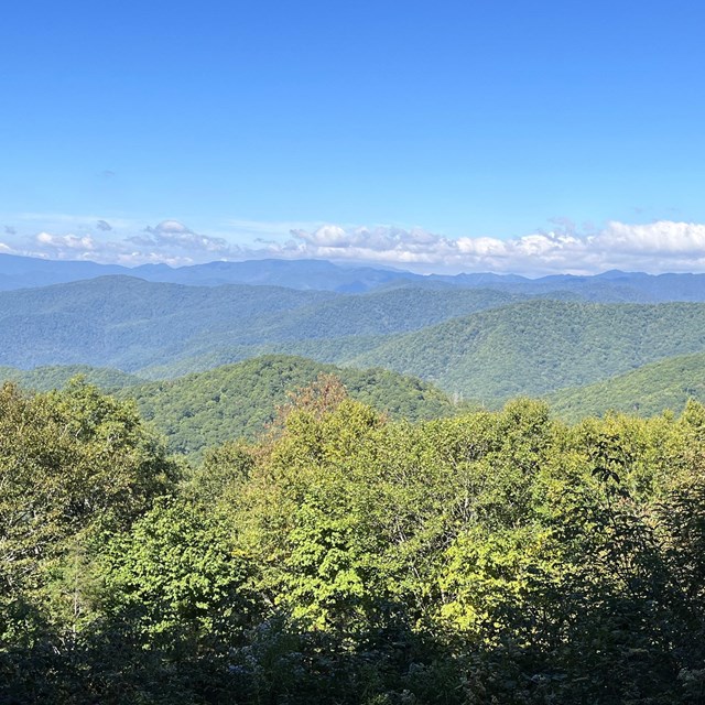
From black bears to salamanders, old-growth forests to spring wildflowers, log cabins to gristmills... the park offers myriad opportunities for exploring and discovering both the natural and cultural history of these ancient mountains. Great Smoky Mountains National Park covers 522,427 acres, divided almost evenly between Tennessee and North Carolina. Learn about the many areas of the park below to begin planning your Smokies adventure. North Carolina Areas
NORTH CAROLINA
Big CreekIn Big Creek, a dense forest has reclaimed the former site of a logging town. Today, find a shady campground, picnic area, and trails.
NORTH CAROLINA
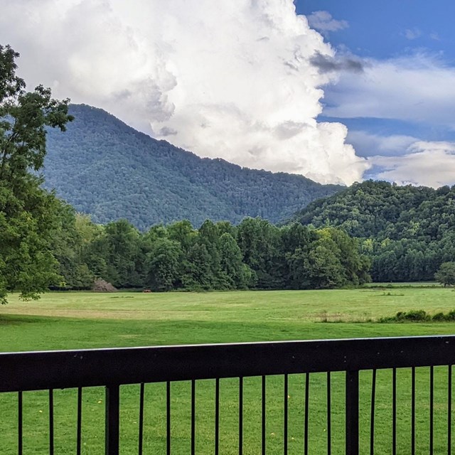
Cataloochee & Balsam MountainCataloochee Valley hosts elk and preserves rich cultural history. Nearby Balsam Mountain offers cooler weather with its high elevations.
NORTH CAROLINA
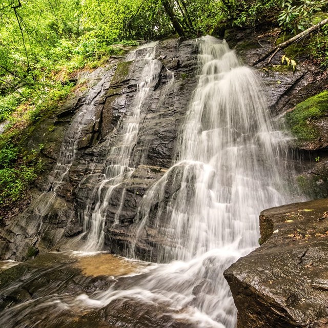
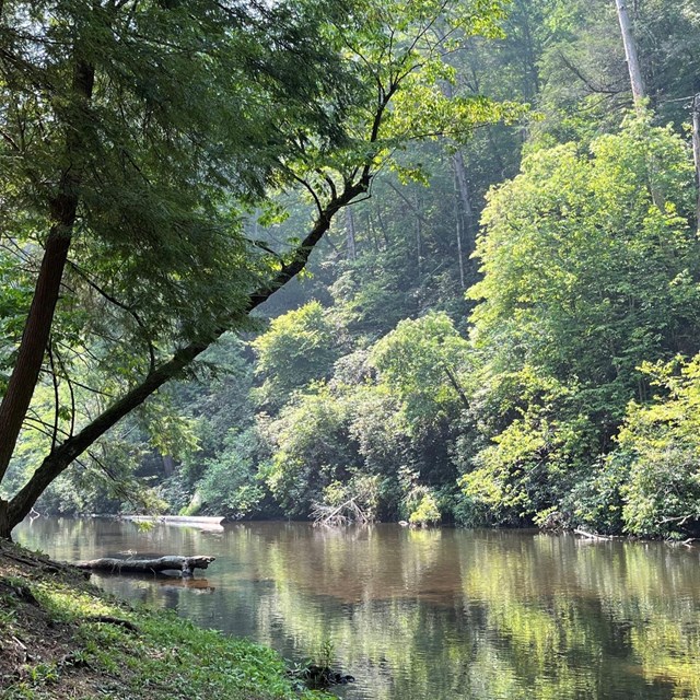
Deep CreekThe Deep Creek area just north of Bryson City and west of Cherokee, North Carolina, is celebrated for its many streams and waterfalls.
NORTH CAROLINA
FontanaFontana is one of the most remote sections of the park. Find solitude, scenic cascades, spring wildflowers, and remnants of logging history.
NORTH CAROLINA
OconalufteeOconaluftee is the southern gateway to the Smokies neighboring Cherokee, NC, and the Qualla Boundary. Enjoy elk, trails, and more.
NORTH CAROLINA/TENNESSEE BORDER
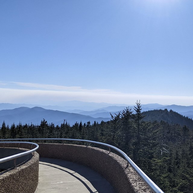
Kuwohi & Newfound GapKuwohi & Newfound Gap area straddles the pinnacle of the Smokies where an important high-elevation pass connects the two sides of the park. Tennessee Areas
TENNESSEE
Abrams Creek & Look Rock AreaTucked into the western corner of the park, the Abrams Creek area features a small campground, peaceful streams, and several quiet trails.
TENNESSEE
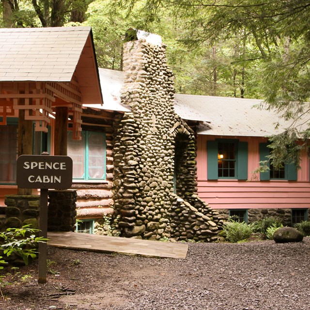
Metcalf Bottoms & ElkmontThe Metcalf Bottoms and Elkmont area is defined by mountain streams, lush forests, peaceful trails, and rich history.
TENNESSEE
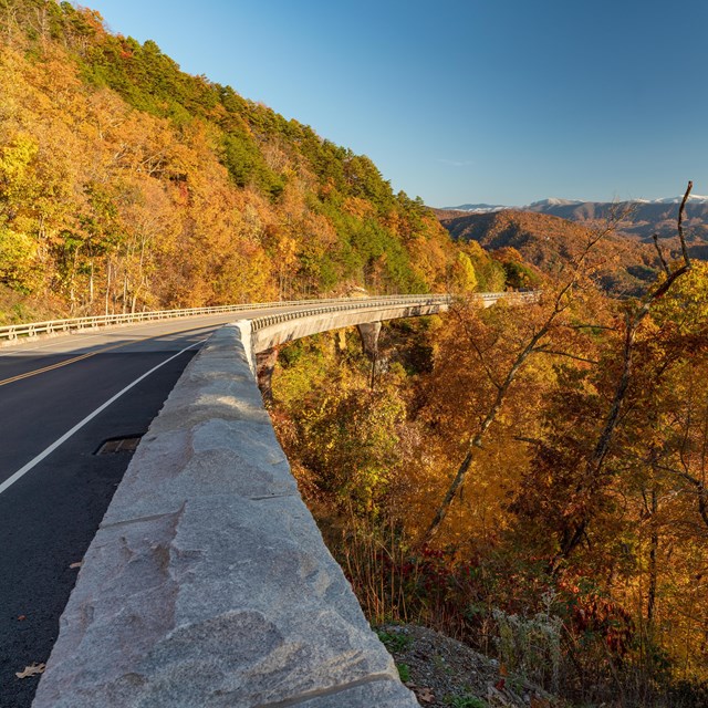
Foothills Parkway EastFoothills Parkway East flanks the northeastern boundary of the park and offers unique panoramic views of the Smokies and beyond.
TENNESSEE
Cades CoveA scenic valley surrounded on all sides by mountains south of Townsend, Tennessee. An 11-mile, one-way loop encircles the valley.
TENNESSEE
CosbyCosby is a less-traveled area on the northeast edge of the park near the communities of Cosby and Hartford. Enjoy peaceful trails and more.
TENNESSEE
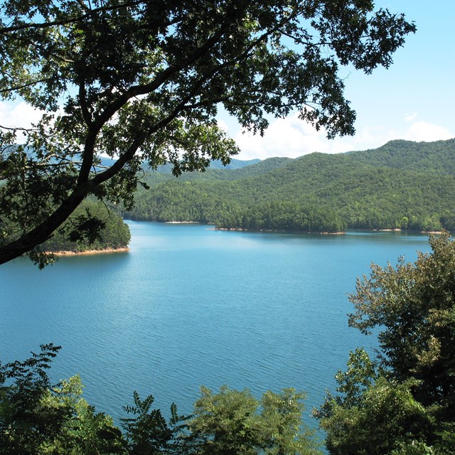
Foothills Parkway WestFoothills Parkway West stretches 33 miles from Wears Valley north of the park to the shores of Chilhowee Lake at its western edge.
TENNESSEE
GreenbrierGreenbrier is a heavily forested cove in the park’s northeast area approximately 20 minutes east of Gatlinburg.
TENNESSEE
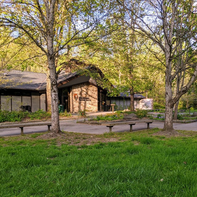
SugarlandsSugarlands is the northern gateway to the Smokies near Gatlinburg, Tennessee. Several trails lead to peaceful streams and more.
NORTH CAROLINA/TENNESSEE BORDER
Kuwohi & Newfound GapKuwohi & Newfound Gap area straddles the pinnacle of the Smokies where an important high-elevation pass connects the two sides of the park. |
Last updated: February 25, 2025