|
"The whole country is a region of naked rock of many colors, with cliffs and buttes about us and towering mountains in the distance." -John Wesley Powell's journal entry on July 28, 1869 Dominguez and EscalanteThe Waterpocket Fold Country was the last territory to be charted in the contiguous 48 states. In 1776, two Franciscan priests, Francisco Atanasio Domínguez and Silvestre Vélez de Escalante, left Santa Fe with the intention of finding a route to missions in Monterey, California. They made detailed recordings of their findings through Arizona, Colorado, and Utah during their trip. They befriended Ute tribes by presenting them with gifts and promising to teach them to farm and raise livestock. John C. FremontIn the winter of 1853, John Charles Fremont passed through Utah and Colorado, attempting to find a northern railroad route to the Pacific Ocean. The expedition was difficult and the explorers were forced to eat their horses before stumbling upon a Mormon settlement. Fremont took care to document their journey, hiring a daguerreotypist, Solomon Nunes Carvalho, a Jewish South Carolinian. Carvalho took nearly 300 daguerreotypes, most of which were unfortunately lost in a fire after the expedition. One of the surviving images depicts rock monoliths located in the North District of Capitol Reef, known as "Mom, Pop, and Henry." Fremont and his men also recorded their encounters with Ute and Southern Paiute Indians. 
NPS 
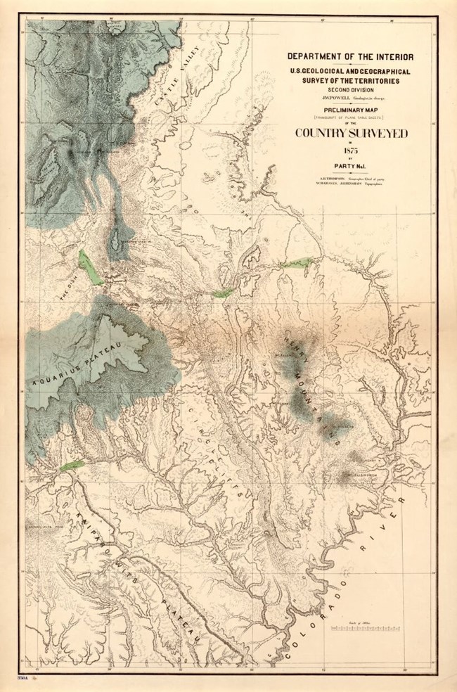
Library of Congress/ USGS John Wesley PowellJohn Wesley Powell, a former Major for the Union Army and avid naturalist, first traveled with nine geologists and geographers down the Colorado River and through the Grand Canyon in 1869. Powell was formulating a theory about the formation of the Colorado Plateau and Colorado River. Geologists Clarence Dutton, Grove Karl Gilbert, and topographer Almon Thompson explored the Capitol Reef region during the Powell expeditions in the area. During the 1871-1872 expedition, Thompson named the large geologic monocline "Waterpocket Fold" because of the many waterpockets (depressions in the Navajo Sandstone that collect and hold water). |
Last updated: December 27, 2020
