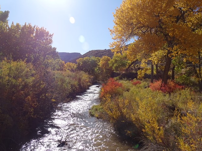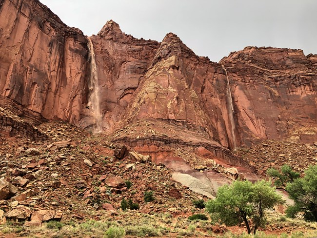
NPS/Ann Huston Capitol Reef National Park has an arid climate with precipitation averaging 7.91 inches (20.1 cm) annually at the park visitor center weather station. Much of the precipitation falls during the summer monsoon season, usually from July to September. During monsoon season, summer downpours can create dangerous flash floods, as well as beautiful ephemeral waterfalls. Always check the weather forecast before hiking in canyons during monsoon season. Flash flood watches and warnings for Capitol Reef and surrounding national parks are provided by the National Weather Service. Flash floods can be unpredictable and your safety is your responsibility. Find a ForecastCapitol Reef is a long, narrow park encompassing most of the Waterpocket Fold, a monocline. Because of the varied elevations and landscape, weather can vary widely across the park. Check specific forecasts, which include the flash flood potential rating and heat risk:
Call the park for the most recent Fruita area forecast, recorded each morning on the automated phone system at (435) 425-3791. Press 1 for more information, and 3 for the daily weather forecast. The current Fruita forecast is also available below. Regional Weather Check the forecast, heat risk, and flash flood potential rating for other parts of southern Utah. Loading weather forecast... Weather AveragesThe following chart shows temperature and precipiation averages from 1991 through 2020. Record temperatures and maximum precipitation are from weather data collected between 1938 and 2020.

NPS/ Emily Van Ness High TemperaturesExcept for July and August, daily high temperatures usually range about 10° F on either side of the average monthly high temperature shown. July and August highs range about 5° F on either side of the average monthly high shown. Low TemperaturesLow temperatures usually range about 10° F on either side of the average low temperatures shown for the months January through April and November through December. Low temperatures for May through October will range about 5° F on either side of the average monthly low shown. | |||||||||||||||||||||||||||||||||||||||||||||||||||||||||||||||||||||||||||||||||||||||||||||||||||||||||||||||||||||||||||||
Last updated: June 13, 2024

