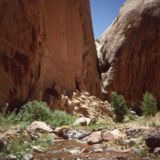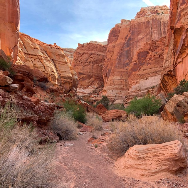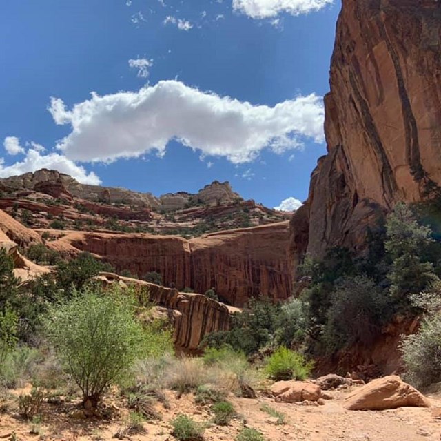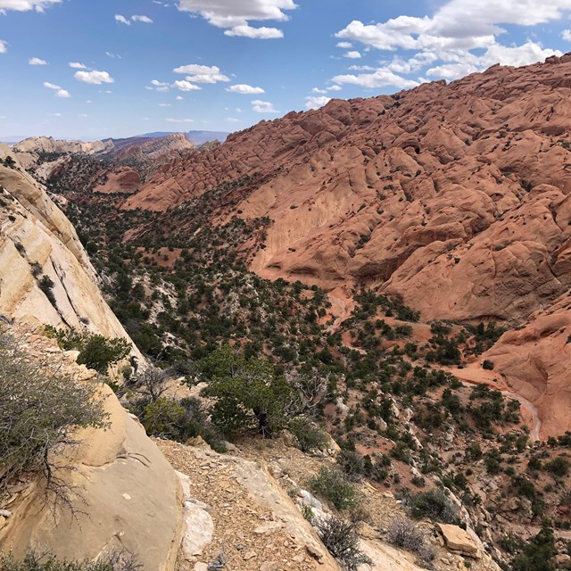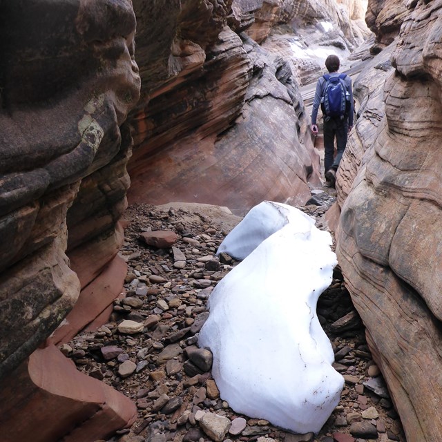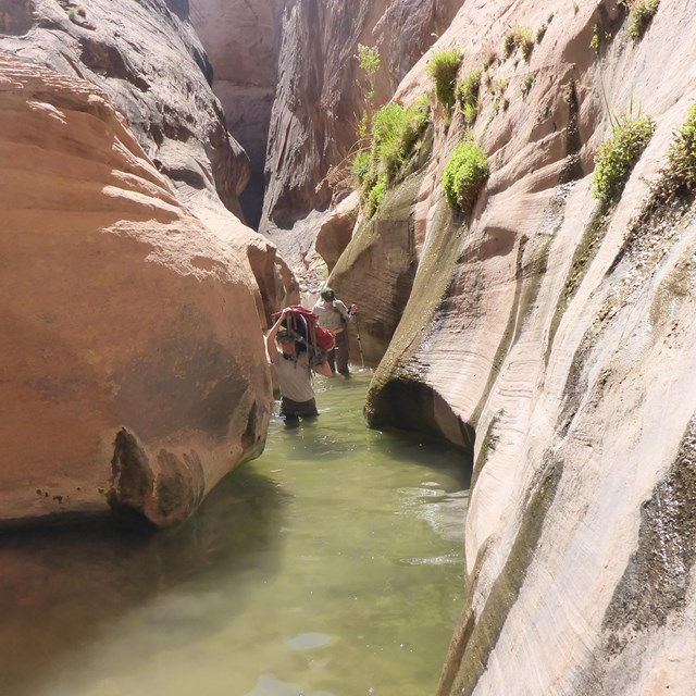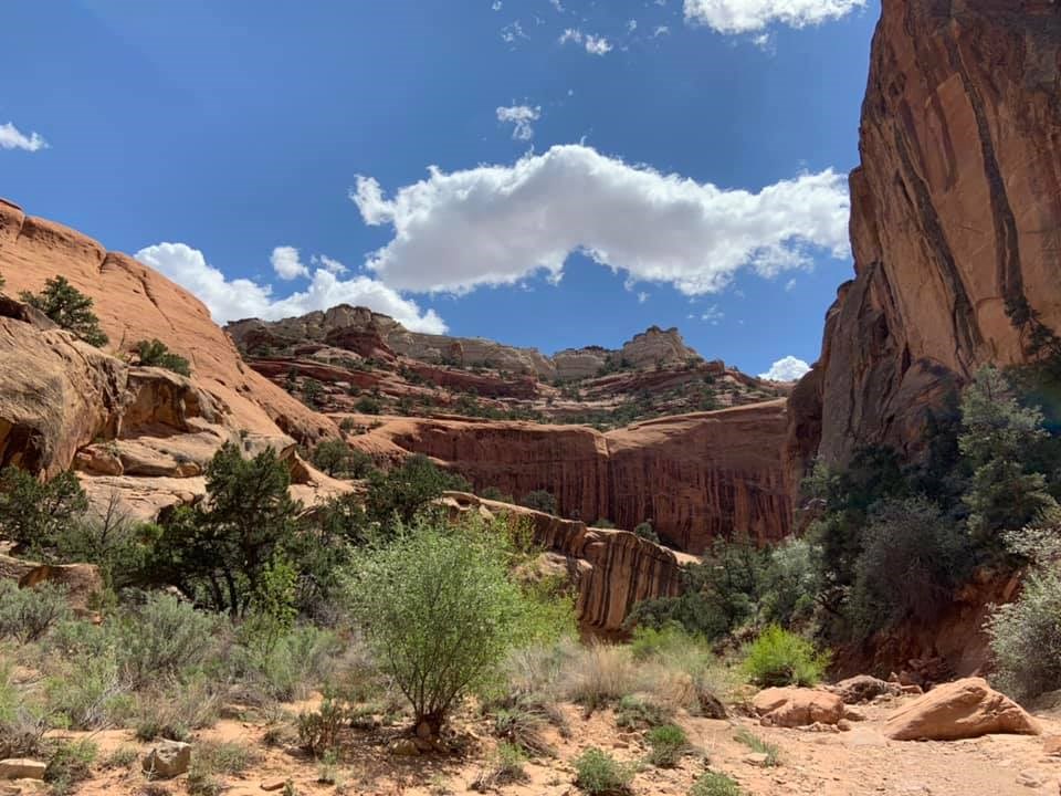
NPS/ Shauna Cotrell Capitol Reef offers many hiking options for serious backpackers and those who enjoy exploring remote areas. Marked hiking routes lead into narrow, twisting gorges and slot canyons and to spectacular viewpoints high atop the Waterpocket Fold. A backcountry permit is required for camping outside of established campgrounds. The permit is free and can be obtained in person at the visitor center during normal business hours. Backpacking Routes
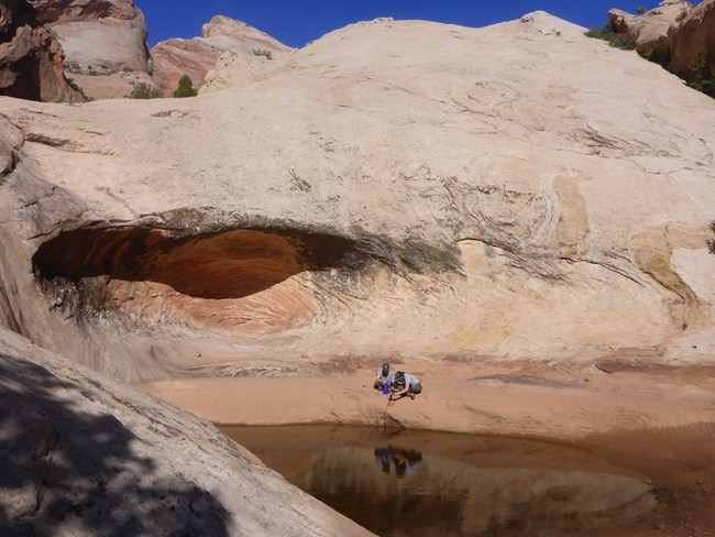
NPS/ Ann Huston Backcountry Use Concerns and RegulationsYour cooperation in observing these regulations will assure these unique resources will be preserved for your further enjoyment, and the enjoyment of future generations. Leave no trace of your visit. Backpacking
Camping with a Vehicle
Vehicle UseAll vehicles must stay on designated roads. Vehicles and drivers must be state licensed. All-Terrain Vehicles (ATVs) and Utility-Terrain Vehicles (UTVs)The use of ATVs and UTVs is not permitted in the park. BicyclesBicycles (considered vehicles) are restricted to roadways and are not permitted on any trail or anywhere off-road. FirearmsThe use of any weapon, trap, or net is prohibited in all national park sites. Carrying of firearms must comply with state law. Firearms are prohibited inside all federal facilities, such as the visitor center. Hayduke TrailAll users camping in the backcountry are required to have a free permit. Hayduke Trail hikers, please email the park for information related to permits for the section of the trail within Capitol Reef National Park. Horse PackingRecreational horse and pack animal use is a traditional means of viewing and experiencing Capitol Reef National Park. “Pack animals” are defined as horses, burros, and mules. A Backcountry Use Permit, available at the visitor center, is required for each party with horses or pack animals staying overnight in the park. 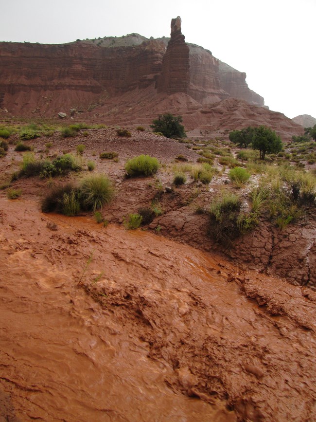
NPS WeatherCheck the weather forecast before your backpacking trip. Be aware of heat risks and the flash flood potential ratings. Fruita ForecastLocations include anywhere along the Scenic Drive and State Route 24, including Pleasant Creek and Spring Canyon. South District ForecastLocations include Lower Muley Twist, Upper Muley Twist, Burro, Cottonwood, and Sheets Gulch, and Halls Creek. North District ForecastIncludes all of Cathedral Valley. |
Last updated: July 27, 2024

