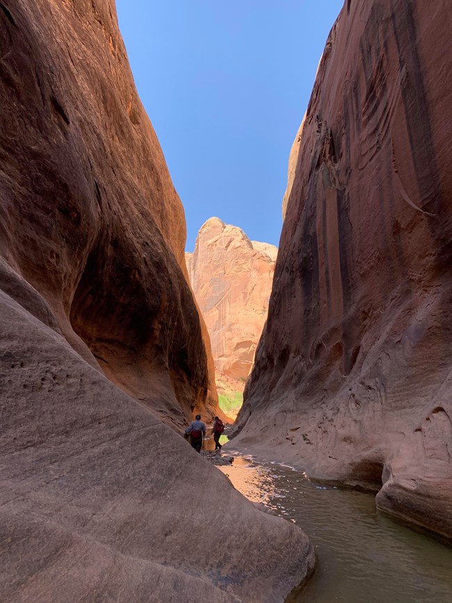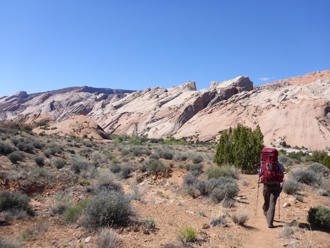
NPS/Ann Huston Between the high cliffs of Hall Mesa on the east and the steep slickrock slopes of the Waterpocket Fold on the west, the hike through the Halls Creek drainage (known as Grand Gulch) explores the park's southern reaches. Along the way, hikers can explore numerous side canyons that join the Halls Creek drainage. At the remote southern tip of the park is the 3.8-mile (6.0 km) Halls Creek Narrows, deeply incised into the white Navajo sandstone. A perennial stream and shade from the arching canyon walls create an oasis in the midst of surrounding desert. The route is largely unmarked; carrying a topographic map is recommended. The route is extremely hot in summer. Water can usually be found at the Fountain Tanks and in the narrows. Use caution in narrow canyons, particularly during the flash flood season (typically July-September). Hiking through the narrows requires wading through water that occasionally may be deep enough to require swimming. A PDF of this information, including a map, can be downloaded and printed. Trailhead Location
Route Distances

NPS/Ann Huston Hike Description
If you choose not to enter the narrows and want to continue south in the main drainage, or if you want to bypass the narrows on your return trip, follow the route over Hall Divide which blocks the main canyon just beyond (south of) the entrance to the narrows. The easiest way to negotiate the 1.7 mile (2.7 km) Hall Divide is to look for the old wagon route and follow it over this obstacle. The hike across Hall Divide can be hot and shade-less; make sure you have adequate water. An alternative is to hike over Hall Divide first, during the cooler part of the day, and return via the narrows. To return to the trailhead, simply retrace the route back up the canyon to Halls Creek Overlook. Rules and Regulations
Additional Information
Best Season:Spring and fall. Maps:USGS 7.5-minute series: Deer Points, Stevens Canyon North, and Hall Mesa. For more information:Contact the Capitol Reef Visitor Center at (435) 425-4111. |
Last updated: June 13, 2024
