
NPS photo by Janice Wei.
Geoconservation
The National Park Service works to conserve geologic resources and related visitor experiences as critical elements of overall natural resources stewardship. In nature, living (biotic) and non-living (abiotic) components of the ecosystem are inextricably linked, so NPS goals for conserving natural systems require attention to maintaining both biodiversity and geodiversity.
Earth scientists from many disciplines work to improve the Park Service's ability to gather, analyze, and use geoscience information. Geologic resources management is part of each park's natural resource activities. Learn more about servicewide Geoconservation Programs.
Geological Monitoring—Volcanic Systems
Geological monitoring involves taking repeated measurements in order to detect long term change. Monitoring data can be used to help land managers assess whether changes in a geologic resource are within a normal range of variation, or if the observed changes dictate a corrective action in management practices.
Showing results 1-4 of 4
- Geologic Resources Division
Monitoring Seismic Activity
- Offices: Geologic Resources Division

The release of elastic energy associated with earthquakes generates seismic waves that propagate through the Earth and along the Earth’s surface across large distances. Most earthquakes are the result of plate tectonic processes. The geologic monitoring manual provides guidance for determining status and trends of geologic resources within the National Park System, and to further the understanding of how geologic processes impact dynamic ecosystem.
- Geologic Resources Division
Monitoring Geothermal Systems and Hydrothermal Features
- Offices: Geologic Resources Division

Hot springs, geysers, mud pots, and fumaroles are dynamic surface features that represent interacting subterranean systems of water, heat, and rocks. Identifying the locations of these features and monitoring their heat, water flow, and chemistry can provide land managers with data needed to make informed decisions about management options.
- Geologic Resources Division
Monitoring Volcanoes
- Offices: Geologic Resources Division

Volcanoes, by virtue of their geology and typography, display evocative landscapes and are home to diverse ecosystems, many of which are delicate and unique. Volcanic eruptions can obliterate landscapes and threaten lives, ecosystems and property. The geologic monitoring manual provides guidance for determining status and trends of geologic resources within the National Park System, and to further the understanding of how geologic processes impact dynamic ecosystem.
- Geologic Resources Division
Monitoring Slope Movements
- Offices: Geologic Resources Division

Different types of slope movement, such as fall, topple, slide, spread, and flow, can occur in a variety of materials and degrees of slopes. The geologic monitoring manual provides guidance for resource managers seeking to establish the status and trends of geologic resources within the National Park System, and to further the understanding of how geologic processes impact dynamic ecosystems.
Learn More
Resource Management Activities—Volcanic Landscapes
Showing results 1-5 of 5
- El Malpais National Monument
El Calderon Area Trailhead
- Type: Place
- Locations: El Malpais National Monument

The start of the El Calderon Trail, bringing you through the oldest volcanism of El Malpais National Monument.
- El Malpais National Monument
Lava Falls Trailhead
- Type: Place
- Locations: El Malpais National Monument
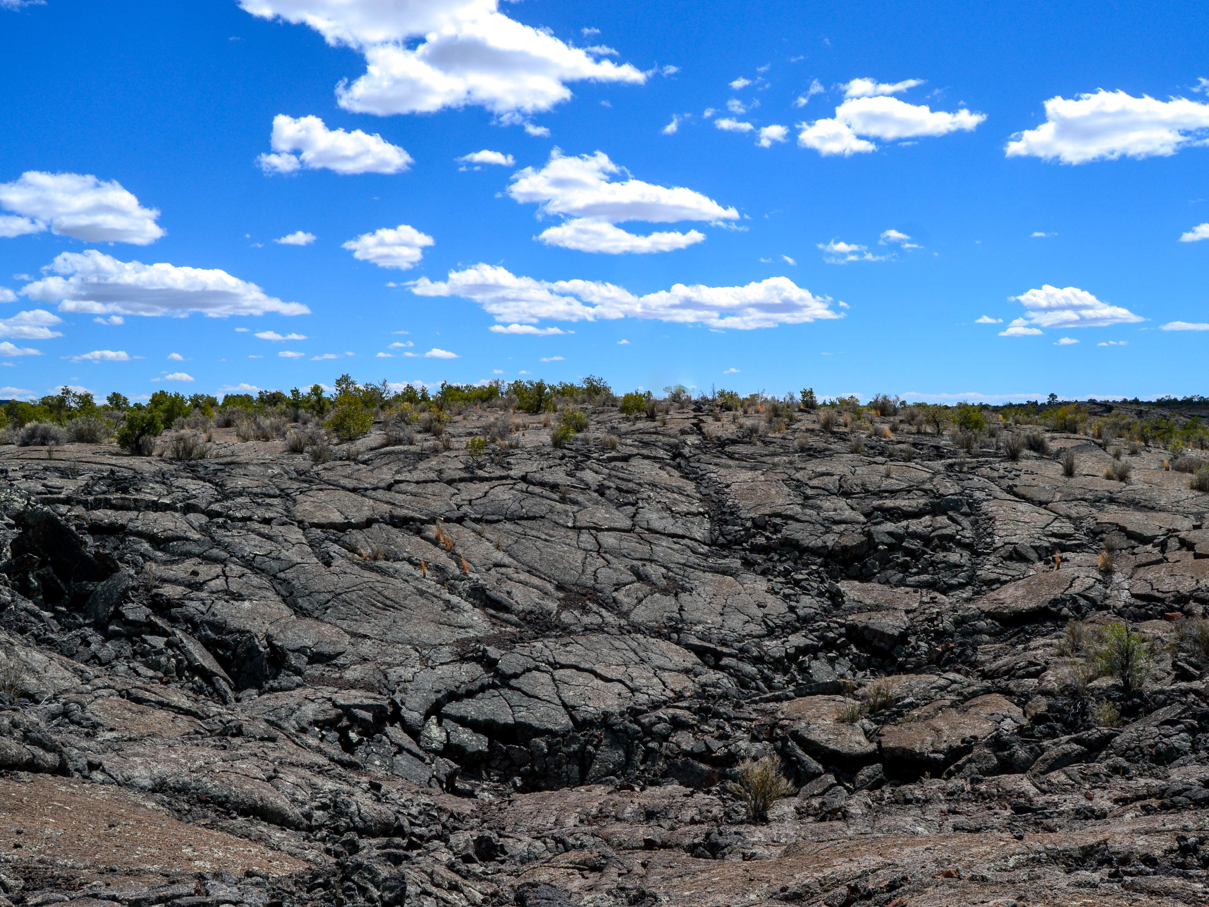
Start your hike across the youngest lava flow at El Malpais National Monument at the Lava Falls Trailhead. This trailhead features a vault toilet, picnic tables, and interpretive signage to utilize before heading out on the one-mile Lava Falls Trail loop.
- El Malpais National Monument
Big Tubes Area Trailhead
- Type: Place
- Locations: El Malpais National Monument

Begin your journey into a volcanic landscape at the Big Tubes Trailhead. Be prepared to encounter rough basaltic terrain and witness massive lava tube features.
- Geologic Resources Division
Cascade-Sierra Mountains Province
- Type: Article
- Offices: Geologic Resources Division

These two mountain ranges formed by different geological forces and processes. The Sierra Nevada mountains can be thought of as an enormous tilted fault block with a long slope westward to California's Central Valley and steep eastern slope. The Cascades form an arc-shaped band extending from British Columbia to Northern California with 13 major volcanic centers that lie in sequence.
- Type: Article

The eruption of Novarupta in 1912 in Katmai National Park and Preserve was the largest in recent history and devastated a large mountainous and coastal region. In 2004, the National Park Service initiated an effort to acquire, relocate, and rephotograph some of these scenes as part of a larger effort to document changes in the landscape throughout the park lands of southwestern Alaska.
Tags:
volcanic landscapes restoration conservation nps careers success stories museum collections partnerships grants cooperative agreements management work with communities interpretation education planning inventory monitoring large landscape conservation national natural landmarks volcanology geology
Education
Educational programs support the National Park Service mission to protect and preserve park resources and values for the enjoyment of present and future generations. Parks and programs deliver geoscience information and stories about geoheritage issues so people understand, value, and support science-based management in national parks.
Teaching Resources—Volcanoes
Last updated: October 6, 2022