Interactive Trail Map
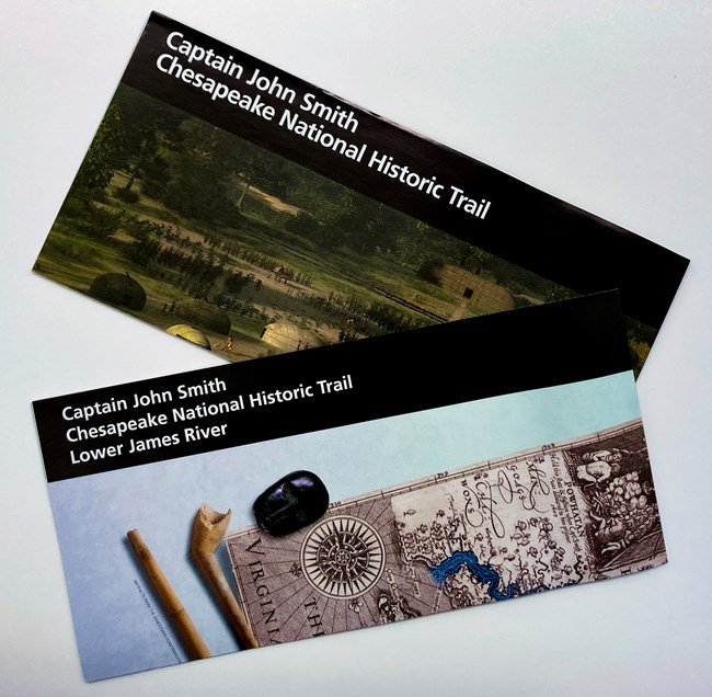
NPS Trail BrochuresOur brochure includes a map of the trail's route along with points of interest and historical information. We also publish a brochure focused on the Lower James River section of the trail. Brochure for the Captain John Smith Chesapeake National Historic Trail.Brochure translations Brochure for the Lower James River section of the trail.
|
Last updated: November 14, 2024


