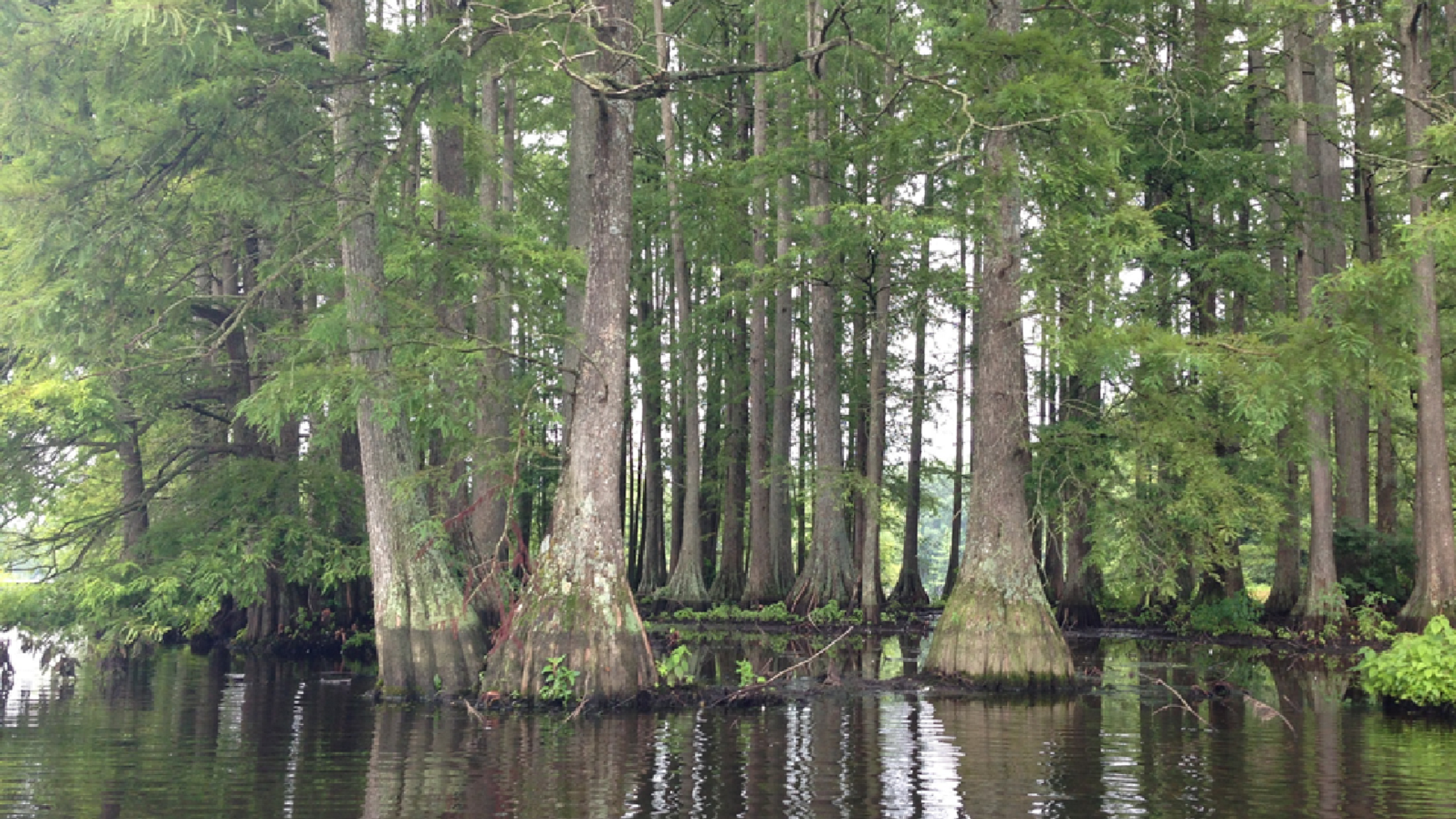
Indigenous Cultural Landscapes
Landscapes that are evocative of the natural and cultural resources supporting American Indian lifeways and settlement patterns. 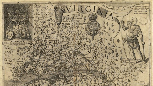
Mapping the Bay
Mapping of the Chesapeake Bay stretches back more than 450 years. Who made these maps and why? Find out here. 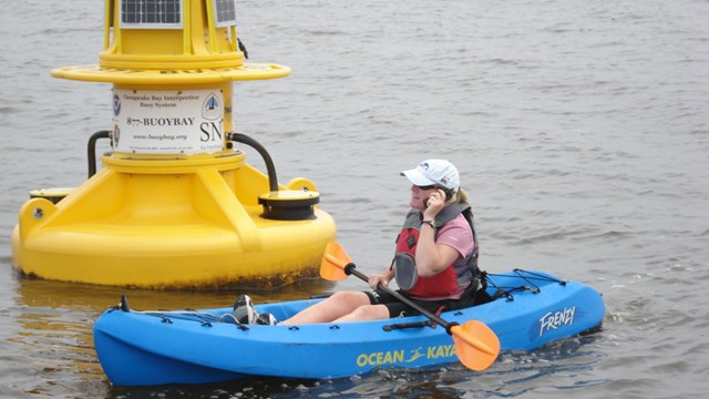
"Smart Buoys" Mark the Water Trail
Along the trail are NOAA "Smart Buoys" that provide the trail visitor with a unique experience unlike any other trail. Learn more here! |
Last updated: April 23, 2021