
For more than 100 years, the National Park Service has managed parks to conserve, protect, and restore species and ecosystems to a best approximation of their “natural condition.” But climate change has created a new dynamic, in which historical baselines are often no longer achievable, maintainable, or relevant to expected future conditions. As we are learning from long-term monitoring, we can no longer assume our previous protection strategies will maintain species and ecosystems.
Park managers are using new approaches to think about what kinds of conditions species and ecosystems will face in the future, and what kinds of conservation choices they, as managers, will need to make. By using the best science information we have, park managers can explore the range of plausible future conditions based on how the climate is changing and the resulting changes to species and ecosystems. This planning process helps park managers:
- develop forward-looking goals that conside future climatic conditions
- consider more than one scenario of the future
- link actions to climate impacts with intentionality
- manage for change, not just persistence
- reconsider existing management goals, not just strategies and actions, for compatibility in a changing world.
Here are some tools for thinking about park resources in planning for future climate scenarios. To learn more, check out this website on climate change.
-
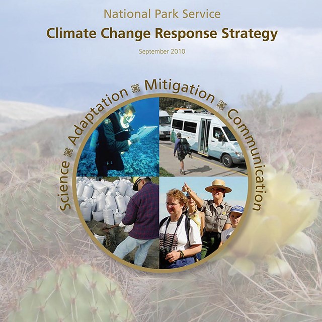 Climate Change Response Strategy
This strategy is the foundation for the NPS to address climate change through science, adaptation, mitigation, and communication.
-
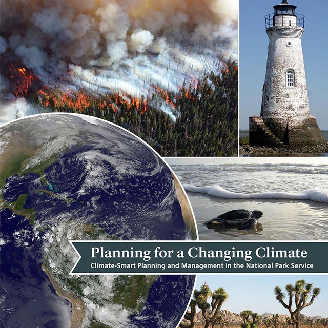 Planning for a Changing Climate
Scenarios help park managers develop goals and evaluate strategies and actions for the climate of the future.
-
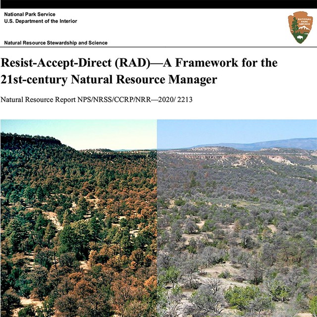 Resist-Accept-Direct Framework
The RAD Framework captures the decision space for responding to the potential for rapid, irreversible ecological change.
Last updated: July 11, 2023