When the Inventory & Monitoring Program started, a set of 12 basic inventories was identified to help us better understand and manage park natural resources.
These inventories were point-in-time surveys to learn about the location or condition of certain resources, including the presence, distribution, or status of plants and animals, air, water, soils, landforms, and climate.
The inventories compiled existing information, acquired new information, and helped establish a minimum level of data across over 270 parks, which served as a common starting point for natural resource monitoring.
Most inventories that began in the 1990s were completed by 2010. Several of the more extensive or complex inventories, such as vegetation and geology, are still in progress in some parks.
As we move into the next decade of inventory and monitoring, a framework has been built for “Inventories 2.0,” which will apply what we’ve learned and move us to the next phase of baseline inventory data needed to manage parks into the future.

NPS photo
Geologic Resources
Understanding the relationships between the physical (geology, air, and water) and biological (plants and animals) components of parks is vital to managing and protecting natural resources. This inventory provides information on geologic processes and features within parks.
- Learn more about the Geologic Resources Inventory
- Discover geologic inventory products, including maps and reports
Vegetation Mapping
The goal of the vegetation mapping inventory is to classify, describe, and map vegetation communities in more than 270 parks across the country.Natural Resource Bibliography
This inventory cataloged park natural resource-related documents and publications. The bibliography eventually developed into the NPS Data Store, part of the IRMA Portal (Integrated Resource Management Applications), where you can search for and find information on park research and resources.

NPS photo
Water Body Location and Classification
As part of taking inventory of park water resources, the I&M Program and the NPS Water Resources Division (WRD) partnered with the U.S. Geological Survey, states, and other agencies to create the National Hydrography Dataset. This dataset includes information on surface waters such as watersheds, glaciers, streams, rivers, canals, reservoirs, and more.
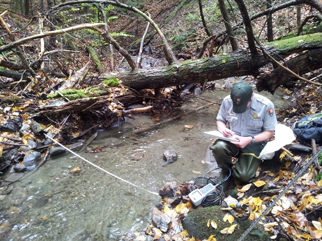
Baseline Water Quality Information
Knowing the quality of water resources in parks was also a basic inventory. The primary sources used for this information were national water quality databases, such as the Environmental Protection Agency's STORET data system and the U.S. Geological Survey's National Water Information System.
Species Lists
This inventory compiled information on vertebrate and vascular plant species in parks, and resulted in preliminary species lists.
Species Occurrence and Distribution
Additional species-related inventory work focused the occurrence and distribution of high-priority species. Specific inventory lists, reports, and related information can be found on I&M network sites (find a network).
Climate
Climate Information on climate stations and associated station data was collected for parks within the 32 Inventory & Monitoring networks in 2006 and 2007. Since these reports were published, organizations such as ACIS (the Applied Climate Information System) have taken the lead in aggregating and disseminating climate-related data and are a source for up-to-date information.

Base Cartography
This inventory focused on acquiring digital cartographic data to use for maps and analyses. While the initial phases of this inventory acquired and stored the digital spatial data files, this need has been replaced by the advent of on-line access to legacy and current data sets, many provided by the U.S. Geological Survey and the U.S. Department of Agriculture. The National Park Service also has a data clearinghouse for mapping information and geospatial resources related to parks.
Air Quality Data
Air quality affects scenic and natural resources in parks, including surface water, visibility, vegetation, wildlife, and soils. This inventory focused on indicator pollutants regulated under the Clean Air Act. You can explore air quality information in parks, and also find information on Air Atlas web maps.
Air Quality Related Values
A second air quality-related inventory was "Air Quality Related Values," which gathered information on park resources that are sensitive to air quality, including vegetation, soils, water, and wildlife.

NPS photo
Soil Resources
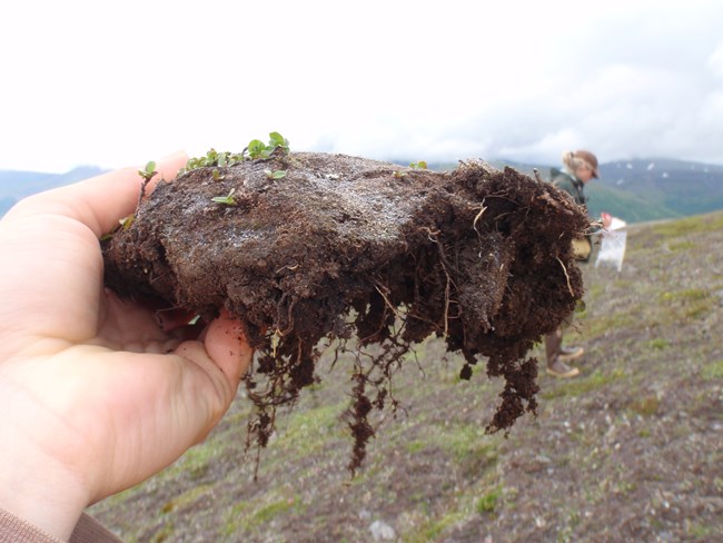
Soil properties influence natural landscapes and ecosystems, and also areas in parks such as campgrounds, trails, roads, and visitor centers. Information on soils is needed by park managers, planners, engineers, and scientists in order to protect water quality, wetlands, vegetation communities, and wildlife habitats. The information also helps with the control of exotic species, and with the management of high-use or developed areas in the park.
The soil resources inventory focused on gathering and mapping information about the physical, chemical, and biological properties of soils in parks using standard terminology and techniques of the National Cooperative Soil Survey (NCSS).
Source: NPS DataStore Collection 3779. To search for additional information, visit the NPS DataStore.
Last updated: January 21, 2021
