
NPS photo U.S. Highway 62/180 provides the primary access to the park, with a number of spur roads leading into the park. From the south, Texas State Highway 54 leads directly to the Guadalupes from Van Horn, Texas. The Dell City Agricultural Loop consisting of FM 1437 and 1576 connect to the Williams Road and access to the Salt Basin Dunes. New Mexico State Road 137 and the Dark Canyon Road (CR 408) provide access to Dog Canyon from U.S. Highway 62/180 in New Mexico. Roads leading to the Guadalupe Mountains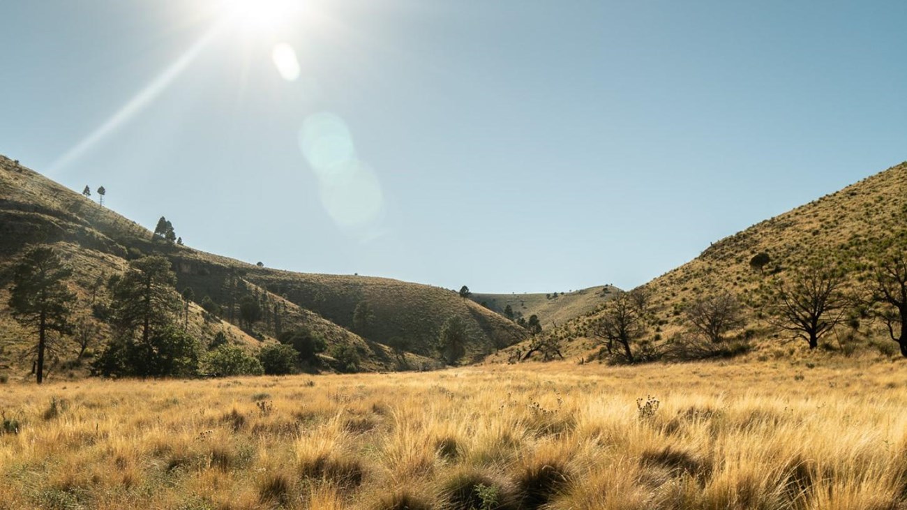
Where is the Scenic Drive?
A frequently asked question is “where is the scenic drive?” The answer to that question reflects the history of conservation and the park. |
Last updated: March 18, 2024