|
Lightly traveled roads and varied terrain make Big Bend a premier bicycling location. Over 100 miles of paved roads and 160 miles of backcountry dirt roads provide challenges for riders of all types and abilities. Bicyclists must be extremely cautious and well-prepared, but bicycling allows outstanding panoramic views unobstructed by a windshield. It also allows the bicyclist to see and hear some of the smaller wonders of Big Bend from a more intimate viewpoint.
Bicycling (including e-bikes) is allowed on any road within Big Bend National Park, but is not allowed off-road or on any trail.
SafetyBicyclists must share the roads with vehicles and obey all traffic laws. Paved roads within the park are narrow and often have no shoulders. Bicyclists should take proper measures to stay safe, such as riding single-file, wearing bright and/or reflective clothing, and being away of their surroundings. Traffic is sparse in summer and highest during March and early April and on holiday weekends throughout the year. Use extreme caution. A good map is essential. Maps and road guides are available at the Big Bend Natural History Association Book Store. WeatherWeather is often pleasant year-round and rewarding trips are possible most days of the year. Cycling from May to September is more of a challenge due to high temperatures.
Bike Rides:Many of the rides in Big Bend National Park are easier with a shuttle. A few suggestions follow. Check with a ranger for more information. If you have a shuttle available: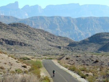
Lori Benavidez Panther Junction to Rio Grande VillageDifficulty: Easy; Distance: 20 miles, paved; Time 1.5-2.5 hours Although there are some hills the ride is mostly downhill as the elevation drops 1,900ft. over the course of the ride. Be wary of large motorhomes and trailers travelling this road, especially during fall, winter and spring. For a variation, ride to the Hot Springs Historic District on the 2-mile unpaved spur road 16 miles from Panther Junction. Your shuttle can meet you at either Rio Grande Village or the Hot Springs. The ride has outstanding views of the Sierras del Carmen and the Rio Grande in the distance. 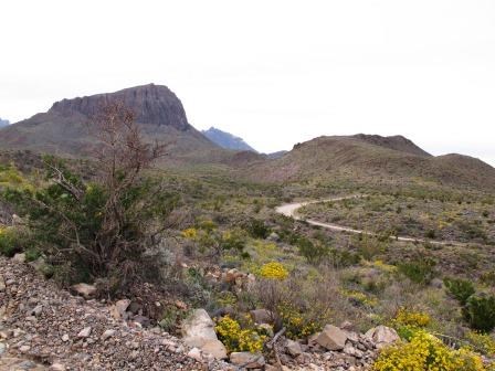
NPS Photo/Cookie Ballou Panther Junction to Rio Grande Village via the Glenn Springs RoadDifficulty: Moderate; Distance 10 miles paved, 25 miles unpaved; Time: 4-6 hours 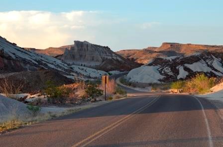
NPS Photo/Cookie Ballou Panther Junction to Castolon via the Ross Maxwell Scenic DriveDifficulty: Strenuous; Distance: 35 miles, paved; Time: 3-6 hours
This ride travels through some of the most scenic terrain in the park. It skirts the Chisos Mountains and passes interesting geologic features and historic sites. Although the loss of elevation between Panther Junction and Castolon is 1,580ft., the terrain is challenging with many steep hills. 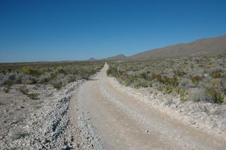
NPS Photo Old Ore RoadDifficulty: Strenuous; Distance: 26 miles, unpaved; Time: 4-6 hours 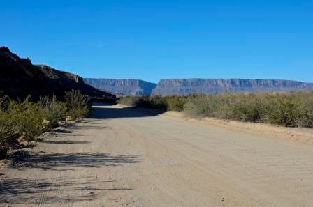
NPS Photo/Cookie Ballou Old Maverick RoadDifficulty: Easy; Distance: 13 miles, unpaved: Time: 1.5-2 hours one-way If you do not have a shuttle available: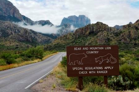
NPS Photo/Cookie Ballou Panther Junction to the Chisos BasinDifficulty: Strenuous; Distance: 20 miles, paved; Time: 2-4 hours round-trip
Ride three miles of gradual uphill west of Panther Junction to the Chisos Basin Junction. Turn left and ride seven miles to the Chisos Basin. The road is very steep, with 15% grades. The elevation gain is 1,650ft. Watch for traffic and be ready to pull off the road if necessary. This ride is an aerobic challenge even for those in excellent physical condition. The ride down is exhilarating. Watch for animals and obstacles on the road and make sure you don't break the 45mph speed limit!
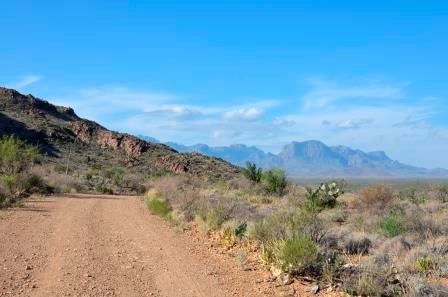
NPS Photo/Cookie Ballou Grapevine Hills RoadDifficulty: Moderate; Distance: 15 miles, unpaved; Time: 2-3 hours round-trip 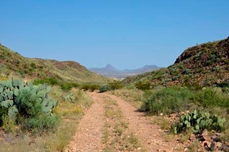
NPS Photo/Cookie Ballou Paint Gap RoadDifficulty: Moderate; Distance: 15 miles, unpaved; Time: 2-3 hours round-trip 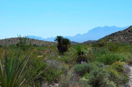
NPS Photo/Cookie Ballou Dagger Flat Auto TrailDifficulty: Easy; Distance: 18 miles, unpaved; Time: 2-3 hours round-trip |
Last updated: October 15, 2020
