

Protect Big Bend. Always stay on established roadways. OFF ROAD DRIVING IS PROHIBITED.
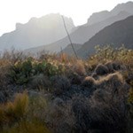
Dagger Flat Auto TrailThis seven-mile road (14 miles round-trip) winds eastward to a small valley with a forest of giant dagger yuccas. This road is typically open to most vehicles, and is also good for mountain biking. Speed limit on this narrow road is 25 mph: allow two hours round-trip. Sandy areas or muddy conditions may exist seasonally; rain makes this road difficult to drive or impassable. Please inquire about current road conditions. 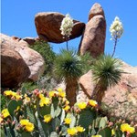
Grapevine Hills RoadTravel 6.4 miles down this road to access the Grapevine Hills trailhead. Here, the 2.2 mile round-trip Grapevine Hills Trail leads to the picturesque Balanced Rock. Geologically, Grapevine Hill is a laccolith—a mushroom-shaped igneous intrusion that domed the rocks above, and was later exposed by erosion. The road is very rough and will require sturdy vehicles with HIGH Clearance. The gravel road begins 3.3 miles west of Panther Junction on the north side of the road. Beyond the trailhead, the road usually requires 4 wheel drive, especially after any rainfall. 
Hot Springs RoadThis two-mile gravel road descends a rough, narrow wash to the Hot Springs Historic District. Ruins of J.O. Langford's resort are located nearby. From the trailhead, the hot springs is 0.5 mile round-trip. There is also a one-mile loop from the hot springs that circles the bluff above; a third trail leads to Daniels' Ranch in Rio Grande Village, three miles to the east. Note: Motor homes and oversize vehicles are prohibited on the one-way sections of the Hot Springs road. 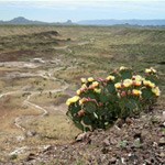
Old Maverick RoadThe Old Maverick Road runs between Maverick Junction and Santa Elena Canyon. It is a 14-mile dirt road that passes along the Terlingua Creek badlands on the west side of the park. A number of historic sites are located near the road that you may visit as you gradually descend to the Rio Grande and Santa Elena. This route can be rough and washboarded, usually taking about an hour to drive. Rain can make the road difficult or even impassable. Sand or muddy conditions can create additional challenges, High-clearance and 4x4 vehicles are recommended. Always check current conditions before traveling. 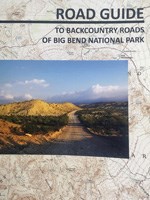
Road GuideGuide to Backcountry Roads of Big Bend National Park |
Last updated: August 29, 2025
