
NPS photo.
Introduction
Throughout its existence the North American continent has been subjected to forces trying to rip it apart, sometimes successfully. The landscapes of several National Park Service sites reveal divergent plate boundary processes that have resulted in continental rift zones and passive continental margins.

Modified from “Parks and Plates: The Geology of our National Parks, Monuments and Seashores,” by Robert J. Lillie, New York, W. W. Norton and Company, 298 pp., 2005, www.amazon.com/dp/0134905172
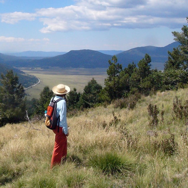
As a plate capped by thick continental crust pulls apart, the crust thins and elevates a broad region. These forces result in long mountain ranges, intervening valleys (basins) and volcanic activity characteristic of the Basin and Range Province and Rio Grande Rift. Ancient continental rifting formed similar rocks and geological structures in the Keweenawan Rift of the upper midcontinent region.
Divergent Plate Boundary Development

Plate with Thick Continental Crust
Continental crust is thick and buoyant, and therefore sticks up above sea level.
Continental Rift—Plate Rips Apart
- As the plate stretches and thins, the underlying asthenosphere flows upward and expands like a hot-air balloon, lifting the region to higher elevations.
- The continental crust breaks along faults, forming long mountain ranges separated by rift valleys.
Ocean Basin Opens
- If divergence continues, the continental crust completely breaks apart and thinner oceanic crust forms between the two continental blocks.
- The ocean basin sinks below sea level because the crust is thinner and more dense, and therefore less buoyant.

Images above modified from “Parks and Plates: The Geology of our National Parks, Monuments and Seashores,” by Robert J. Lillie, New York, W. W. Norton and Company, 298 pp., 2005, www.amazon.com/dp/0134905172
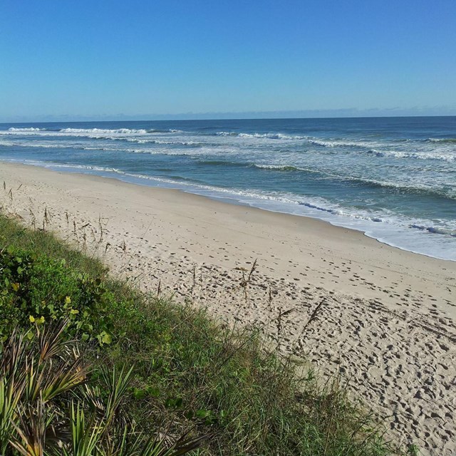
Continued plate divergence can completely rip a continent apart and open a new ocean between the continental fragments. The Atlantic Coast and Gulf of Mexico Coast of the eastern United States have beautiful beaches and barrier islands on top of the thick pile of sedimentary layers that form on the edge of the continent. Similar rock layers formed when the Colorado Plateau region was part of an ancient passive continental margin of North America.
Tectonic Settings—Divergent Boundaries
Figures Used
Site Index & Credits
Plate Tectonics and Our National Parks
- Plate Tectonics—The Unifying Theory of Geology
- Inner Earth Model
- Evidence of Plate Motions
- Types of Plate Boundaries
- Tectonic Settings of NPS Sites—Master List
Teaching Resources—Plate Tectonics
Photos and Multimedia—Plate Tectonics
Geological Monitoring—Plate Tectonics
Plate Tectonics and Our National Parks (2020)
-
Text and Illustrations by Robert J. Lillie, Emeritus Professor of Geosciences, Oregon State University [E-mail]
-
Produced under a Cooperative Agreement for earth science education between the National Park Service's Geologic Resources Division and the American Geosciences Institute.
Last updated: February 11, 2020