AlertsLoading weather forecast... Current Lake LevelPlease visit the National Weather Service Lake Level or the Texas Water Development Board webpage for the current lake level and other information. Links to Current Water Forecasts and Conditions
Smoke ForecastOperational Status of FacilitiesTo learn if the Visitor Center is open and which campgrounds are open (note this does not refer to the availability of campsites), visit the respective pages. Boat Ramp StatusMany boat ramps at Lake Amistad were closed as a result of the historic low lake levels in 2013, 2022, and 2024. The National Park Service opens boat ramps as lake levels allow for safe launching of trailered boats from each ramp. As an example of how drastically the lake levels can change, the reservoir reached its second historic low on May 23, 2013, at a level of 1055.93 feet above mean sea level (amsl), which was 61.07 feet below the reservoir's conservation pool level of 1117 feet. One year later on May 23, 2014, the lake was at 1070.79 feet amsl, up 14.86 feet from the historic low. On July 17, 2024, the reservoir beat the previous historic low with the water surface at only 1,047.15 feet amsl, and the reservoir was 24% full. This closed all but half of Diablo East and half of Rough Canyon boat ramps (ramp extensions installed in 2022 have extended the useablility of both ramps). The reservoir levels are still expected to continue on a downward trend. To find out which boat ramps are currently open, please visit the Boat Ramp Status chart. Webcam
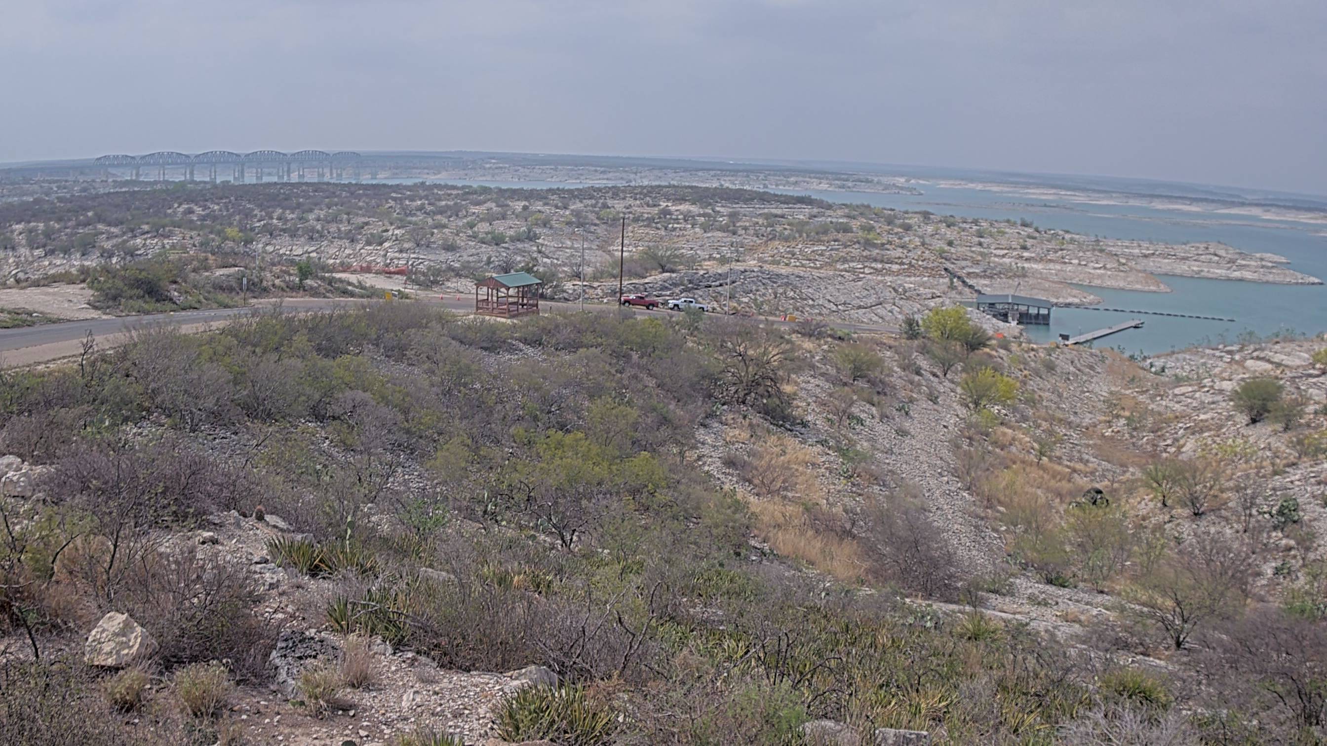
Current Conditions: Diablo East Boat Ramp - Amistad National Recreation AreaCurrent image of Diablo East boat ramp, which is one of the busiest ramps in Amistad National Recreation Area and a favorite location for tournaments. View WebcamWhy Does the Lake Level Fluctuate?The reservoir is a man-made pool created to store water and prevent flooding. It is normal for water levels at Lake Amistad to fluctuate due to increased rainfall or ongoing drought and varying demands for water for irrigation, hydroelectric power, municipal uses, and needs downstream along the Rio Grande. From 1992-2002, the reservoir level dropped and remained low during an extended drought. A tropical storm system in 2003-2004 brought increased rain to southwest Texas. By 2005, the lake was near the conservation pool level of 1117 feet above mean sea level. The reservoir maintained near conservation pool levels into 2011, before beginning to decrease. Historic low lake levels were reached in 2013 due to a period of drought. The International Boundary and Water Commission continues to release water from Amistad Dam to provide for municipal use, irrigation, and power generation for both US and Mexican communities downstream along the Rio Grande. To learn more about these fluctuations, visit the Weather page. |
Last updated: November 14, 2025


