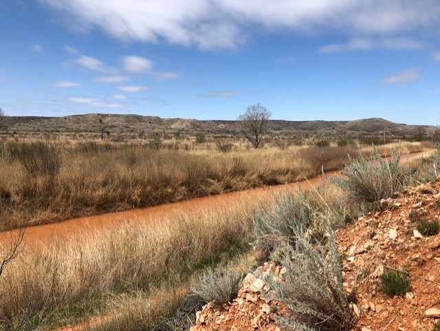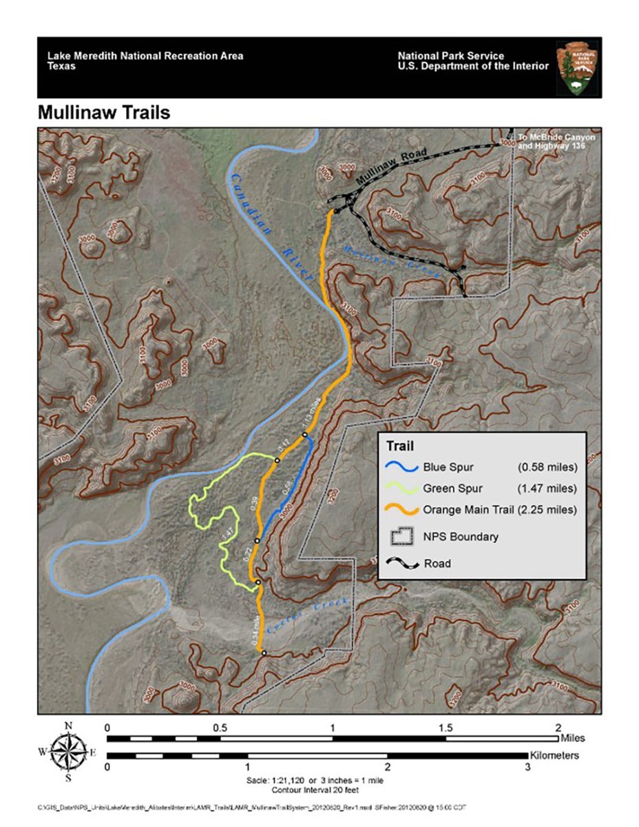
NPS Photo The Mullinaw Trail System covers 2.25 miles in total, with the main trail—orange spur 2.25 stretching miles along the Canadian River. The blue spur is 0.58 miles, and the green spur extends for 1.47 miles, offering a variety of native plants, grasses, and trees. Spring is an ideal time to admire the wildflowers that dot the trail, while fall brings a stunning display of red, orange, and yellow foliage. 
NPS Photo Explore the scenic Mullinaw Trail, which runs along the banks of the Canadian River—the longest tributary of the Arkansas River in the United States. Originating in Colorado, the Canadian River flows through New Mexico, Texas, and Oklahoma. The Mullinaw Trail offers excellent opportunities to observe birds, wildlife, and wildflowers. Keep an eye out for large raptors migrating to the cottonwood trees, as well as woodpeckers and cardinals along the trail. Make sure to bring binoculars, a nature journal, and a camera. This trail is particularly stunning during the fall when the cottonwoods transform into a vibrant tapestry of colors.

NPS Map |
Last updated: February 9, 2026
