NPS Photo/Kristen Maxfield
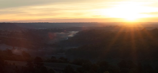
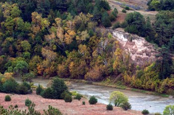
Topography The Niobrara River flows across north central Nebraska at the northern edge of the Nebraska Sandhills. East of Valentine, the Niobrara has cut a valley 200 to 300 feet deep and between one-half to two miles wide. The Niobrara is unique in that it is the only river in Nebraska that flows directly over its bedrock substrate. Because of this bedrock bottom, the upper 25 miles of the Scenic River tends to have more riffles and rapids - making for an enjoyable and at times exciting canoe experience. Valley side slopes are generally steeper on the south bank with vertical cliffs and over 230 waterfalls. Most waterfalls arise can be seen along side tributaries of the south bank, such as the state's highest waterfall, Smith Falls. Other waterfalls are visible directly from the river, such as Berry Falls and Hardin Falls. Terraces and moderate slopes are more common on the north side of the river. These are cut by steep-sided canyons of tributary streams that flow across a broad plain defining the north edge of the valley. The plains north of the river have drier conditions due to more sun exposure, different soil types, and less ground water infiltration. East of State Highway 7 and south of the river, the terrain changes to old plains eroded by water and wind into steep slopes and sharp ridges.
Ecosystems Six major ecosystem types converge in the valley including northern boreal forest, ponderosa pine forest, eastern deciduous forest, tallgrass prairie, mixed-grass prairie, and shortgrass prairie. This variety of ecosystems supports an exceptionally large variety of plants and animals, many of them at the limits of or beyond their usual range.

NPS Photo/Kristen Maxfield More Information: |
Last updated: October 14, 2020
