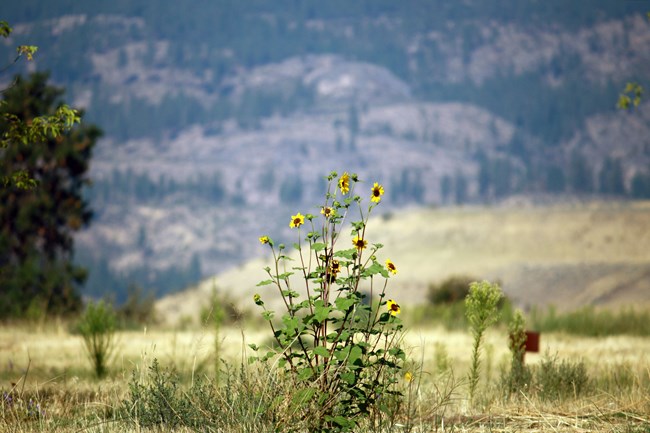
NPS Photo What are the Channeled Scablands?Part of the Columbia Plateau, the Channeled Scablands can be found on a majority of the southern half of the park. It is a type of shrub-steppe ecosystem, which is characterized by large shrubs, broadleaf wildflowers, and a large diversity of grass species. One of the best places to experience this habitat is by visiting Spring Canyon and going on the Bunchgrass Prairie Nature Trail. It was originally formed by large, repeated flooding events, which left the land scarred from the rapid water rushing and pulling rich soils away and piling them together elsewhere. The irregular land surface of bedrock and thin soil that has been scoured of its soil by floods are called Scablands. Channeled is in reference to the many and different paths that water took with each flood event, leaving the land with channels so overloaded with sediment it created many dividing and rejoining channels as well as large coulees. This complex geology was a debated mystery for a long time. 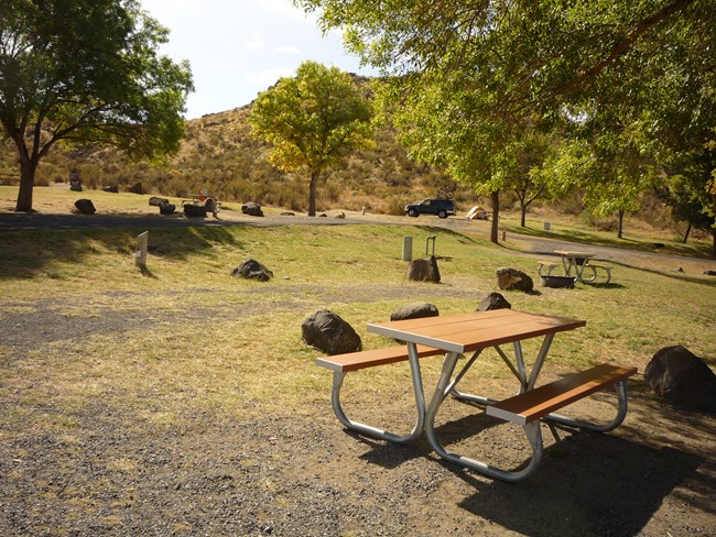
NPS Photo ClimateWhat remains today is a unique diversity of flora and fauna that have adapted to the hot dry desert-like summers and long cold winters. This climate is much drier than its northern counterpart the Okanogan Highlands, which receives almost twice as much rain. High winds discourage any tall tree growth, and encourage wind pollinated plants such as grasses. The aridity combined with the fluctuation in temperature means that life that exists there must be able to handle both drought and snow. Pressures like these form unique adaptations and characters of life, a place where you can see a rattlesnake or a snowy owl depending on the season.
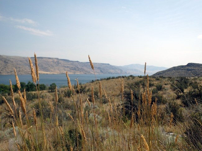
NPS Photo EcosystemThe foundation of this land is nothing without its grasses, as grasses are what hold the shifting sandy soils in place. Grassroots also bring and hold water closer to the surface where more shallow rooted plants may thrive. There are dozens of species of grasses found here. However, newcomers such as cheatgrass and crested wheatgrass threaten to take over and outcompete native grasses.The defining shrub of the area is sagebrush, which is important for stabilization due to it having two different types of root systems. Shallow, thin and widespread roots gather water before it evaporates, while roots buried deep into the soil draw water from underground reservoirs. Root systems like this make important habitat for animals such as marmots to burrow into structurally sound ground. Many of the plants in this area have adaptations to help them survive the extremes of this habitat, from hairy water-saving stems, to rolled or small leaves to decrease evaporation, to the waxy spiny defenses of the northern prickly pear. 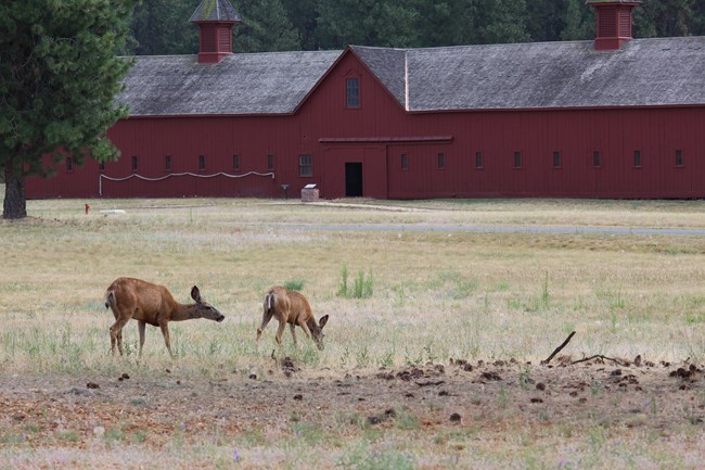
NPS Photo AnimalsThese grass dense areas are rich habitat for grazers such as deer, elk, and in the recent past even pronghorn antelopes. Mule deer are the main mammal that can be seen throughout the Plateau, while white-tailed deer are found in the northern district of the park. Creatures of this land make themselves at home in the rocks and under the ground, usually at the base of shrubs. To avoid the daily peak weather, many of the animals are crepuscular meaning they are active most at dawn and dusk. For seasonal extremes, animals will often either migrate or hibernate in the winter. Ground squirrels take this to the extreme by going into aestivation, a type of summer hibernation. These and other rodents are the dominating presence in this landscape due to the large amount of grass seed, the main part of their diet. Although these animals are often hidden from our sights, they are important as the main food source for predators of the area. 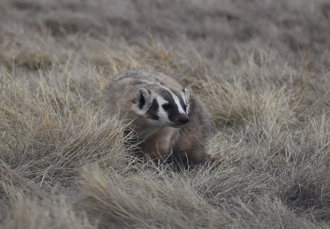
NPS Photo / BethAnn Ostrander Here, the predators mostly take to the sky; hawks, falcons, and owls. The day shift consists of Red-tailed Hawks and the smaller faster falcons. Much of their diet consists of small mammals, insects, and smaller birds than themselves. Owls take up the night shift, preying mainly on nocturnal animals such as rodents and bats. Burrowing owls are of particular interest due to its candidate status for the Washington state endangered species list. Their populations continue to dwindle as the shrub-steppe ecosystem declines and they lose habitat. Even while hiding in sheltered burrows, underground isn't a safe place for prey either. The badger is a fossorial carnivore, the root word “fossor” is Latin for “digger” which can also explain other modern words like fossil. Badgers use their large front claws for digging burrows as homes. Once abandoned, these burrows become important homes for animals that cannot dig their own holes, including burrowing owls and salamanders. Digging is also used to find meals including marmots, ground squirrels, rattlesnakes and even burrowing owls. Badgers can also be seen hunting in conjunction with coyotes, they use different predation strategies to work well together. Strong but stocky claws of the badger dig up prey from safe havens, while the coyote have long legs made for chasing. While fierce, badgers shy away from humans and will relocate to be further from human activity. To continue to be able to view this amazing and complex habitat, it is important to recognize it as all of our homes. By following Leave No Trace guidelines and park rules one can enjoy and not destroy. 

Left image
Right image
|
Last updated: August 20, 2023
