Trail ConditionsAlways check current conditions with a ranger before heading out on a hike. Updated conditions are reported on the website during the summer season. 
Day Hiking
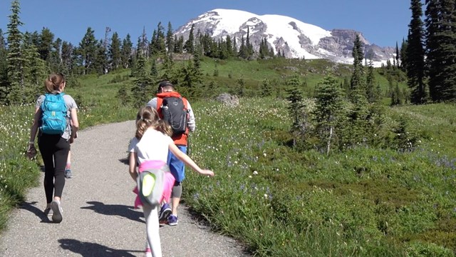
From short family-friendly nature trails to mid-length trails, the park has a variety of options for day hiking. 
Wilderness Camping
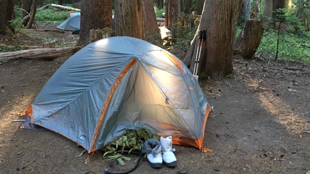
Only a small part of the park can be reached by vehicles. Explore the rest through hiking and wilderness camping. 
Wilderness Permits
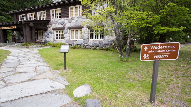
A wilderness permit is required for all overnight camping. Learn how to reserve a permit or acquire a first-come, first-served permit. Find a Mount Rainier TrailSelect one of the trails below for more details. ***All hiking distances are round-trip.*** Area Trail MapsPrintable maps of area trails. Pacific Crest TrailA portion of the Pacific Crest Trail weaves in and out of Mount Rainier National Park along the park's eastern boundary, from Chinook Pass in the north down to Laughingwater Creek in the south (near Three Lakes). Please note that there are no established backcountry camp sites within the park along the Pacific Crest Trail. Camping is permitted on adjacent United States Forest Service lands. For information regarding public lands that require permits, consult the Pacific Crest Trail Association permits page. For more infomation about hiking the portions of the Pacific Crest Trail in the park see the Naches Peak Loop Trail. Learn more about the Pacific Crest Trail at pcta.org. Pets are not allowed on trailsAt Mount Rainier, pets are NOT allowed in the following areas (service animals excepted):
|
Last updated: June 11, 2025
