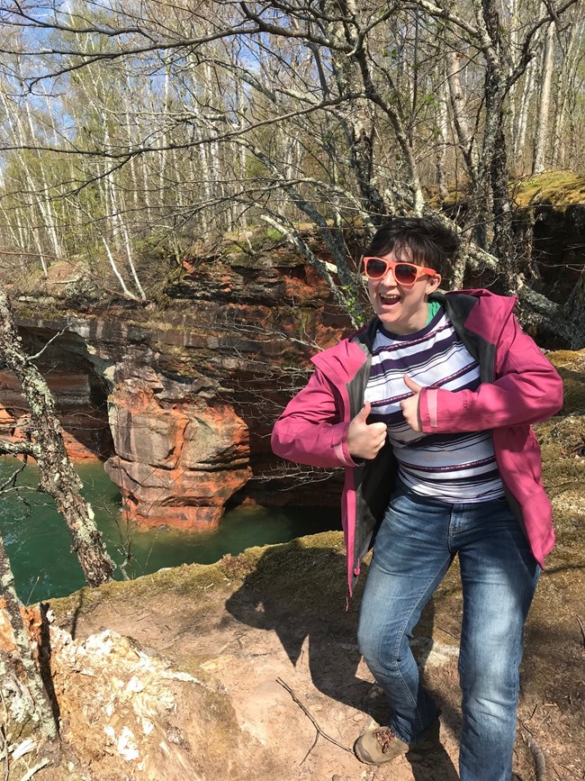
Photo / S. Ballou Hikers can enjoy more than fifty miles of maintained trails on the islands of the National Lakeshore. These trails provide access to lighthouses, abandoned quarries, old farm sites, historic logging camps, beaches, campsites, and scenic overlooks. In addition to trails, there are numerous sandy beaches which are great for walking and exploring. Some of the favorites are Little Sand Bay and Meyers Beach on the mainland, Julian Bay on Stockton Island, Long Island beaches, Raspberry Island sandspit, Lighthouse Bay on Sand Island, South Twin sandspit and Rocky Island sandspit. Beaches are highly sensitive to human disturbance, so remember:
Lakeshore Trail Starting at the Meyers Beach parking area off of Hwy 13, the Lakeshore Trail extends 6 miles along red sandstone cliffs and through forests high above Lake Superior and terminates at a reservable backcountry campsite. The trail has three sections. The first goes from Meyers Beach to the Crevasse, a 100-yard-long fracture in the bedrock. The second section travels above the mainland sea caves, and the third section passes through a wooded area, finally ending at the campsite. Learn more about this trail below. The maximum vehicle length for the Meyers Beach parking area is 45 feet.
The Lakeshore Trail on the Mainland Unit.Providing views of hardwood forests, Lake Superior, and the mainland sea caves, the Lakeshore Trail is scenic and beautiful. With that said, this trail can be demanding and might not be for everyone. Hiking experience, preparation and proper equipment, especially hiking footwear, are strongly recommended. This trail is a rugged path with stream crossings and steep slopes that is best suited for strong hikers. Good footwear, a cell phone (decent reception for much of the trail), food, water, and sunscreen are important. Depending on the season, bug repellent may also improve the experience. Starting at the Meyers Beach parking area off of Hwy 13, the Lakeshore Trail extends 6 miles along red sandstone cliffs and through forests high above Lake Superior and terminates at a reservable backcountry campsite. The trail has three sections. The first goes from Meyers Beach to the Crevasse, a 100-yard-long fracture in the bedrock. The second section travels above the mainland sea caves, and the third section passes through a wooded area, finally ending at the campsite. 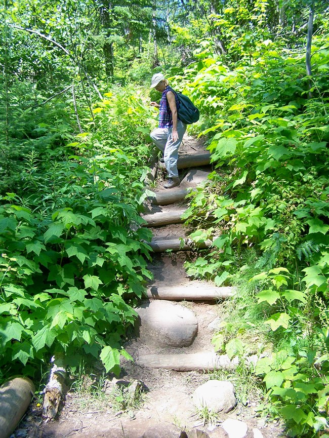
NPS Photo Section OneThe first section travels 1.8 miles through mixed hardwood forest, mostly out of sight of the lake, with the first 0.7 miles being relatively easy thanks to a boardwalk with steps and bridges. Use caution on the boardwalk as it can be slippery when wet. The remaining 1.1 miles of this section of trail is well-worn and becomes more challenging due to steep ravines, narrow bridges, exposed roots, irregular steps and slippery areas. The trail eventually levels out and veers closer to the lake where the Crevasse and the first glimpses of sea caves come into view. A careful look down into the Crevasse may reveal kayakers paddling below. A map here shows the entire length of the trail and the locations of many sea cave features. 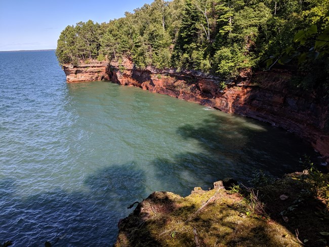
NPS Photo / M. Carlson Section TwoOnce past the Crevasse, the second section of the trail begins. In this 0.6-mile section, several sea cave overlooks and stands of Red Pines can be found. Do not be alarmed if you hear loud popping or booming noises. These sounds are performed by the "cave wave chorus" when waves crash into and through caves and smaller openings in the sandstone below. There are many social trails in this area. To follow the official trail, look for markers featuring the icon of a green hiker that guide you slightly away from the cliff. This section of trail ends at a feature called the Bowl. Outcrops on both ends afford great views of seacaves and create a natural amphitheater. 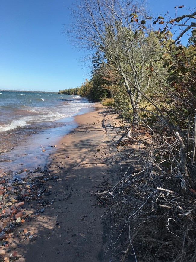
NPS Photo Section ThreeBeyond the Bowl, the third section of the hike begins. Lake views become fewer as the trail tends inland and goes through a lovely mixed hardwood and conifer (Cedar) forest for another 3.8 miles that ends at Mainland Campsite #1. About a mile before you reach the campsite the trail splits (at the split you are 5.2 miles from Meyers Beach and roundtrip back to the trailhead is 10.4 miles). Follow the sign, left to Lunch Beach or right to continue toward the campsite. There is a “stump privy” and marker along the trail in this area. The last mile of the trail is well marked, with short stretches on old logging roads, but pay close attention for arrows and signs that indicate turns. The trail eventually comes out on a beach. Walk east about 100 yards along the beach to the sign and trail that leads to the campsite perched just above the beach. 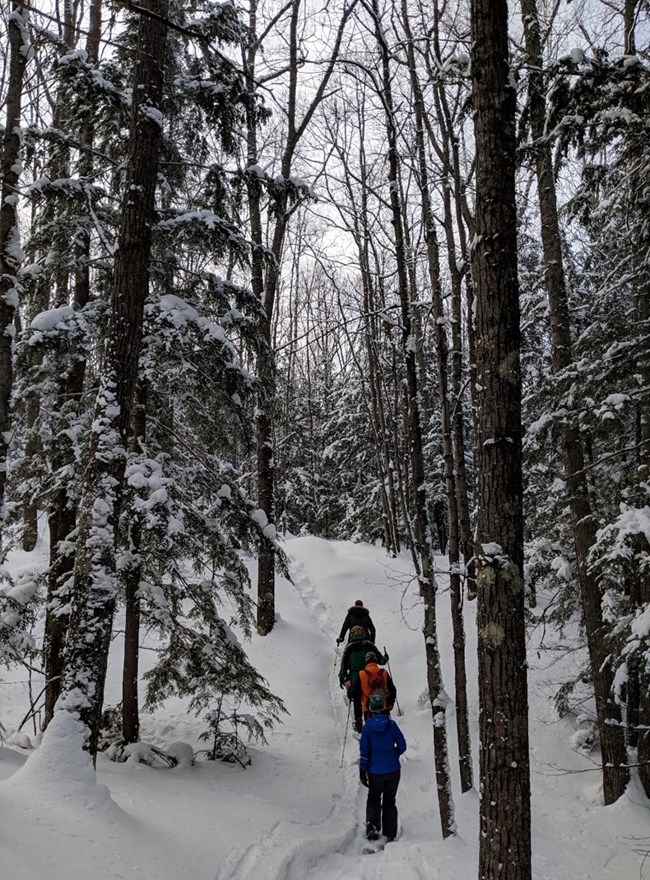
Winter UseThe trail is usable in winter but may be snow-packed and icy or covered in deep snow. Cross country skiing is not recommended. Steps along the boardwalk and in the ravines may make snowshoe use difficult. Contact a ranger or Current Conditions for up-to-date information on trail conditions. |
Last updated: September 24, 2021
