Keeping Track

If there is one thing that is constant in our national parks, it is change. For example, forest structure changes as the trees in that forest age or as a wildfire roars through. Bird populations may change in response. Erosion can shift stream channels or expose previously undiscovered archeological or paleontological sites. The number of visitors to parks is also in constant flux.

Understanding the changes taking place in our parks is key to protecting them for future generations. National Park Service scientists implement all manner of monitoring programs to keep track of what is changing. They also try to answer related questions about how and why changes happen. Explore what they’re monitoring, what tools and techniques they’re using, and what they’ve learned so far.

Banded western snowy plover chicks with their father on a Point Reyes beach.
Natural Resource Monitoring

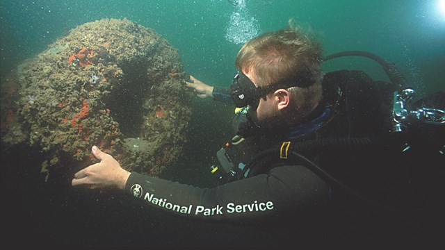
Through careful, consistent long-term monitoring, we can detect if park resources are stable or might be changing.

Chipmunk perched on a rock on a high mountain.
Natural Resource Condition Assessments

Condition assessments synthesize data about natural resources to inform planning and stewardship activities.

A cartoon of a ranger measuring the vital signs of the Earth.
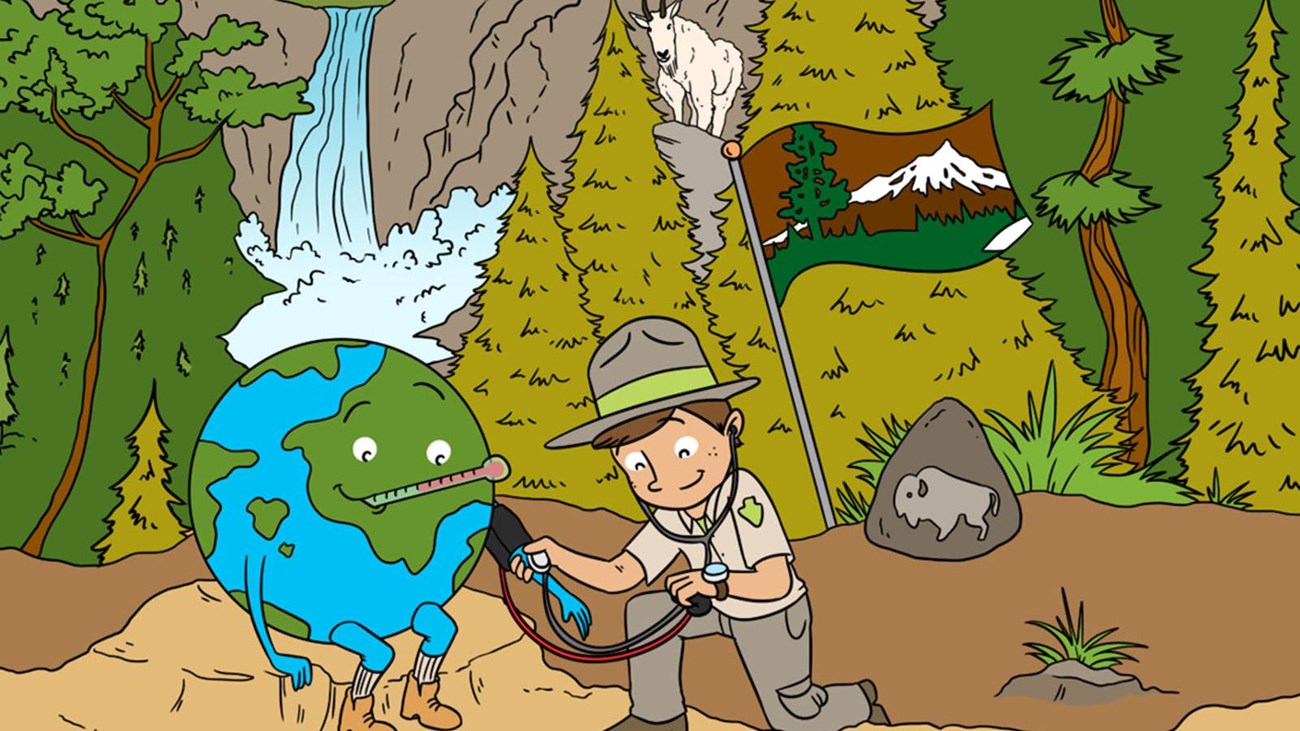
Taking the Pulse of National Parks

How do we know if parks are healthy? We monitor their vital signs, of course!

Visitors look out over the Grand Canyon.
Socioeconomic Monitoring

How do park visitors use park lands? Socioeconomic monitoring helps the National Park Service find out.

Diver examining an underwater artifact
Cultural Resources Climate Change Plan

Monitoring the impacts of climate change on cultural resources helps park managers anticipate and adapt to change.

Short yellow alpine flowers in front of snow covered peaks.
GLORIA Monitoring in National Parks

Learn which parks participate in global monitoring of the effects of climate change on alpine vegetation and soil, and why.

Explore examples of monitoring in our parks

Showing results 1-10 of 721

    • Locations: Golden Gate National Recreation Area, Muir Woods National Monument, Point Reyes National Seashore
    Close up photo of an adult monarch butterfly perched on green vegetation.

    Working within the structure of the One Tamalpais Collaborative, the Golden Gate National Parks Conservancy received $400,000 in funding through the California Wildlife Conservation Board’s pollinator rescue program to invest in protection of monarch butterflies in Marin County.

    • Locations: Point Reyes National Seashore
    • Offices: San Francisco Bay Area Inventory & Monitoring Network
    Head-on look at a very round young seal in shallow flowing water.

    Only 16 cows and 14 nursing pups remain at the Seashore! There are still 112 males scattered around, looking for their last chance to mate. This year’s weaned pup counts are higher than average. A total of 1063 weanlings were counted on 3/6.

    • Locations: Big Bend National Park, Fort Davis National Historic Site
    A fluffy tan and white feathered bird with bright yellow eyes looks at the viewer.

    New technology makes it possible to record hundreds of thousands of songs in a short time. That could make protecting wild birds and other at-risk animals easier.

    • Locations: Lewis and Clark National Historical Park, Mount Rainier National Park, North Cascades National Park, Olympic National Park
    A lush green forest with large, moss-covered trees, and ferns

    Despite dire evidence of rising tree death, researchers found resilience and hope deep inside western Washington's forests. But it will take 21st-century monitoring methods to keep that hope alive.

    • Locations: Golden Gate National Recreation Area, Muir Woods National Monument, Point Reyes National Seashore
    • Offices: San Francisco Bay Area Inventory & Monitoring Network
    National Park Service biologist and volunteer measuring a coho smolt.

    Federally endangered coho salmon and threatened steelhead trout are large, charismatic fish that play crucial roles in both stream and ocean ecosystems. The National Park Service Inventory and Monitoring Program and its partners began monitoring coho and steelhead in Golden Gate National Recreation Area and Point Reyes National Seashore in 1998.

    • Locations: Denali National Park & Preserve
    title still for Outside Science (inside parks) at Denali National Park with an image of a vole

    In this episode of Outside Science (inside parks), join the team at Denali National Park and Preserve as they brave the rain to monitor voles to get a snapshot of forest health.

    • Locations: Big South Fork National River & Recreation Area
    • Offices: Appalachian Highlands Inventory & Monitoring Network
    Snorkeler in a wetsuit in shallow, greenish water holding a small, tagged mussel.

    Freshwater mussels help keep our waterways clean, among other benefits. But many mussel species are highly imperiled. Photo documentation is an important part of the work to rescue them.

    • Locations: Cabrillo National Monument, Channel Islands National Park
    Extreme close-up of California buckwheat blossoms, with soft pink petals with bright pink centers.

    Fog is a critical but mysterious water source for native plants during hot, dry summers at Cabrillo National Monument. Researchers used new technology to uncover the park’s fog patterns, showing the best places to restore damaged habitat.

  • Underwater photo of gloved hands holding a medium-sized spiny lobster and measuring it.

    A method to measure populations in national parks could be expanded to other areas.

  • Circular image of the sky, including the Milky Way. There are bright spots in the southwest corners.

    The Fisheye Night Sky Imager is quick to set up and can measure sky brightness even under cloudy conditions.

Tags: monitoring

Last updated: November 22, 2022

Tools

  • Site Index