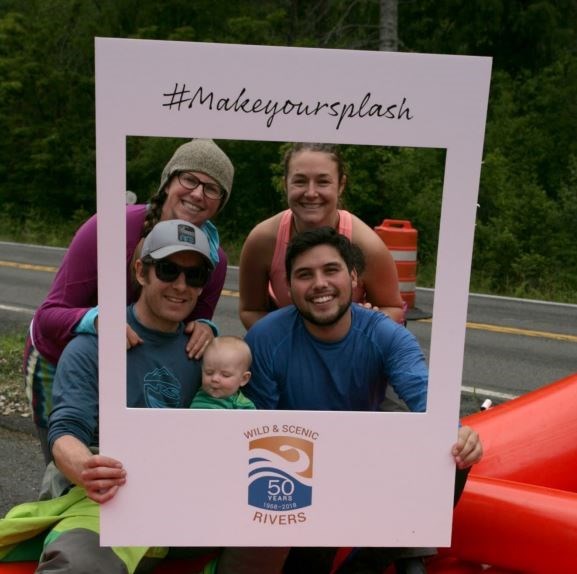
Four adults and a baby sit in a raft on the side of the road, smiling while holding a cardboard #Makeyoursplash photo frame around them. NPS Photo
50th Anniversary Report
Wild and scenic rivers capture the essence of rivers from remote rivers to rivers threading through rural countrysides and protected waterways in urban population centers. They are the life-blood of the American story. That story began in the 1960’s when outdoor enthusiasts and visionary congressional leaders demanded the creation of a protected system of free-flowing rivers. The passage of the Wild and Scenic Rivers Act of 1968 created the National Wild and Scenic River System, which today protects more than 12,000 miles of rivers in 40 states and Puerto Rico for recreation, fish and wildlife habitat, scenery, and cultural heritage.
In 2018, we celebrated the 50th anniversary of the birth of our Wild and Scenic River System by inspiring community building around river stewardship and advocacy to safeguard future free-flowing water. Read the 50th Anniversary Report to find out how the nation celebrated 50 years of river protection.
Offices:Heartland Inventory & Monitoring Network, Inventory and Monitoring Division
At Cuyahoga Valley National Park, an inventory of streams and their inhabitants is helping park managers understand and protect these vital waterways. The study revealed that most streams in the park are in good condition with minimal habitat damage. For the few streams facing challenges, conservation and restoration initiatives will help restore them to high ecological quality.
Voyageurs National Park will start accepting Commercial Use Authorization (CUA) applications on Sunday, December 1, 2024. The open window to submit CUA applications has been extended to April 14, 2025.
People planted yellow iris and stocked northern pike in the river for beauty and sport. The iris altered the river channel, and the pike ate the native fish.
Rivers, such as the Colorado and Green River, are vital, but limited, resources in the semiarid and arid intermountain west. The Upper Colorado River Basin is the principal water supply of the western United States and supports habitat for a variety of flora and fauna. For nearly a century, managers have been striving to balance water use needs and ecosystem health. Learn how dams and managed flow variability have affected riparian corridors in Canyonlands National Park.
Building rock dams or digging new river channels may seem like harmless fun, but they can affect the flow and quality of the water, even well upstream. Find out how you can help keep rivers wild.
Locations:Arches National Park, Bryce Canyon National Park, Canyonlands National Park, Capitol Reef National Park, Dinosaur National Monument, Hovenweep National Monument, Timpanogos Cave National Monument, Zion National Parkmore »
Good, clean water is essential for healthy ecosystems--for people, vegetation, and animals--making it one of the most important resources in the semi-arid west. The Northern Colorado Plateau Network and its partners monitor water quality in 8 national parks in Utah and Colorado to help scientists and managers conserve these resources. This article summarizes 2019-2022 water quality data and how they compare to state standards.
Imagine that you are approaching the focal point of the fur trade during its pinnacle around 1797. If you came from Montreal, you traveled from Sault Ste. Marie in a 36’ canot du maître (master or Montreal Canoe), following a route along Lake Superior’s north shore. From the western interior pays d’en haut (up-country) of Canada, you paddled a 24’ canot du nord (North Canoe) down the Pigeon River to Fort Charlotte, then trod Gichi Onigaming (Great Carrying Place).