
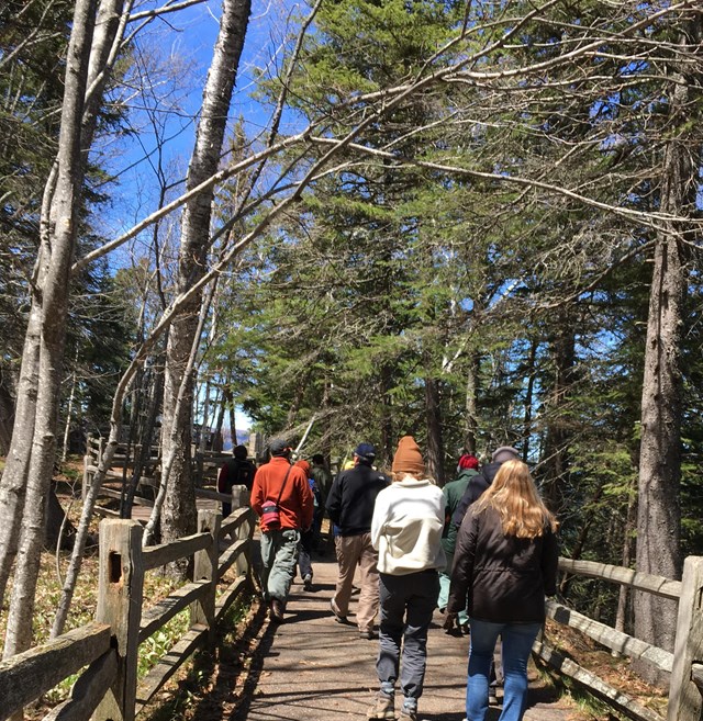
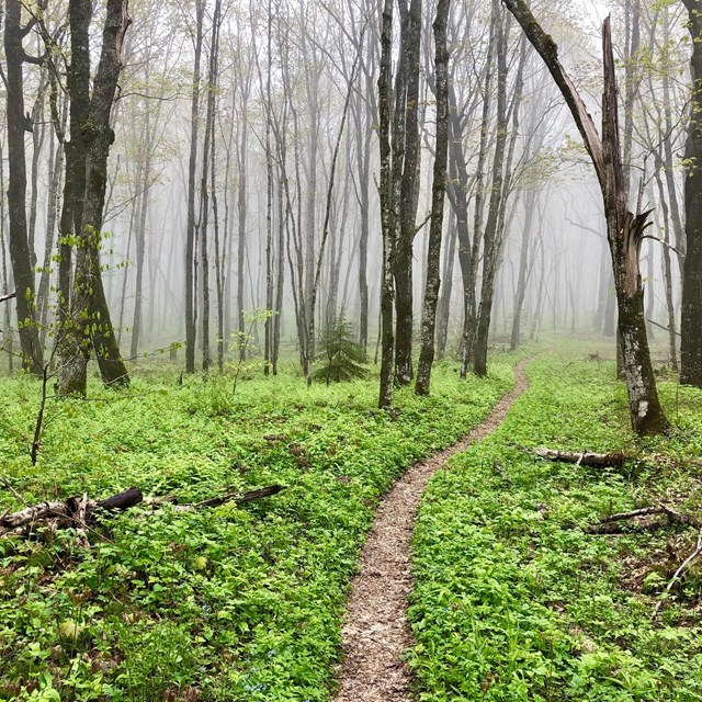
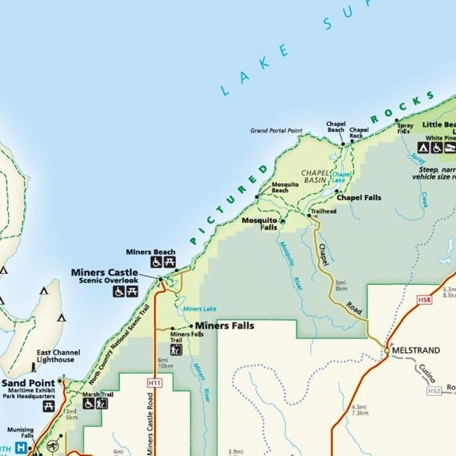
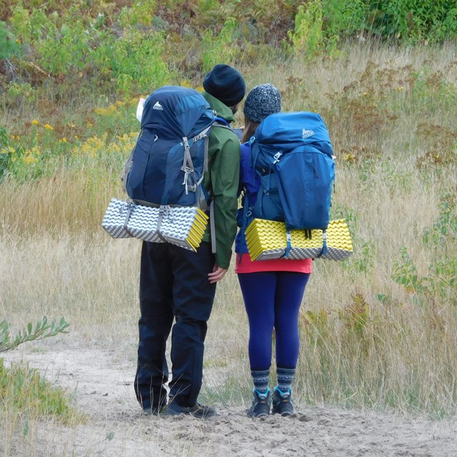
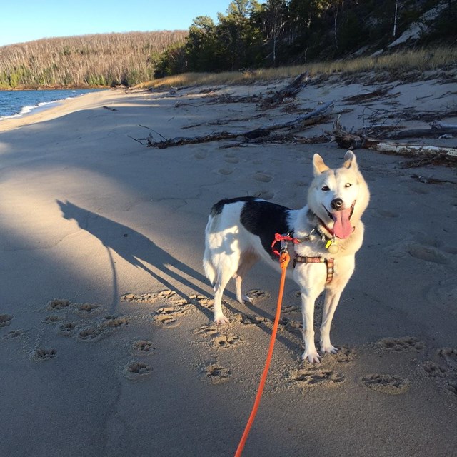
NPS photos Welcome to Pictured Rocks National Lakeshore!Pictured Rocks offers towering multicolored sandstone cliffs, miles of sparkling beaches, dashing waterfalls, huge sand dunes, inland lakes and streams, deep green forests... and it's all yours to explore! Pictured Rocks National Lakeshore is managed by the National Park Service, and it was the first of the nation's four national lakeshores to be established (in 1966). Start Planning Your Trip!Please note, if you are using Google Maps to navigate to the park, please use "Munising Falls Visitor Center", or "1505 Sand Point Road, Munising MI" as your routing point! Using "Pictured Rocks National Lakeshore" will NOT bring you to a visitor center!Places to GoLooking for views of the Pictured Rocks Cliffs? Chasing waterfalls? Check out our places to go!Things to DoHike, take a boat cruise, camp and more. Learn about things to do at Pictured Rocks.Goods & ServicesFor recommendations on hotels, restaurants, and other private businesses, please reach out to the following:Alger County Chamber of Commerce129 E. Munising Ave, Munising, MI 49862(906) 387-2138, www.algercountychamber.com Grand Marais Chamber of Commerce(906) 494-2447, www.grandmaraismichigan.comExplore Munising!501 E. M28 Hwy, Munising, MI 49862(906) 387-5710, www.exploremunising.com Munising Visitors Bureau(906) 387-1717, www.munising.orgWeather at Pictured RocksLake Superior greatly moderates temperature extremes, preventing deep cold during most of the winter, slowing spring warming, and keeping summers somewhat cooler overall. Winter months average high temperatures of about 25°F (-4°C) and summer months average about 70°F (22°C).The average date of the last freezing temperature in spring is June 8, and the average first fall freeze is September 23. This area is the second-most cloudy region of the United States, characterized by an annual mean cloud cover of 70 percent. Much of the cloudiness occurs in autumn and winter. The prevailing wind is from the west, with average velocities ranging from 7 to 9 miles per hour, although winds coming off Lake Superior are usually higher. In summer, shore temperatures can vary dramatically throughout the day when northwest winds (off the cool lake) switch back and forth with southwest winds (off the warm land). The big lake's presence also increases precipitation at the lakeshore. Annual precipitation averages 31 inches; annual average snowfall ranges from 140 to 160 inches with some years over 200 inches. Snow generally covers the ground from late November through late April. Fog can happen in any season. 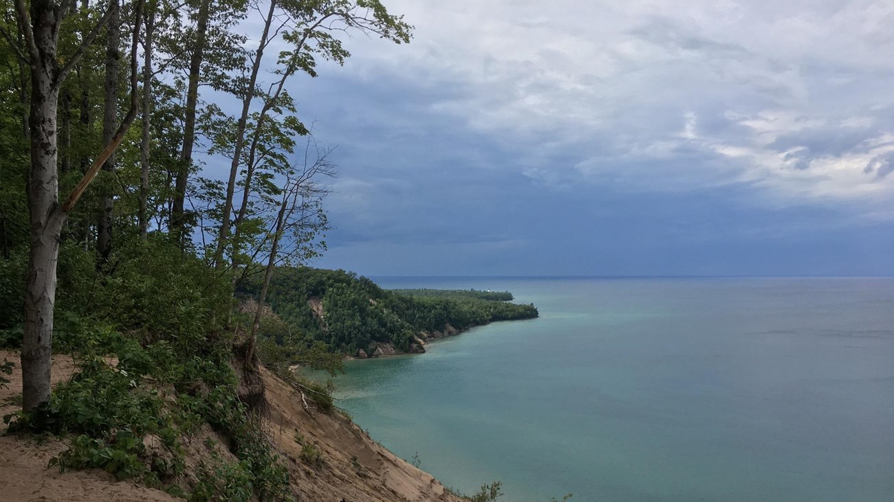
Current Conditions
Closure alerts, trail conditions, safety warnings, and any special notices. Always check a park's Current Conditions before visiting! Things To Know
|
Last updated: August 26, 2024