Fees and Passes
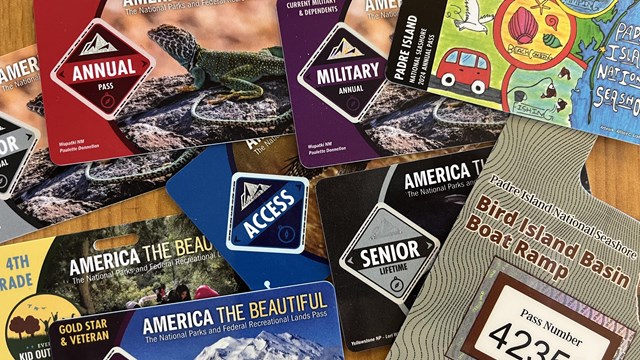
Information about park entrance fee, passes, and other fees within the park. 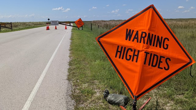
Current Conditions
Check alerts and conditions in the park. 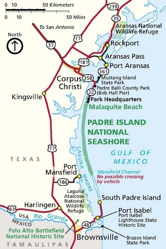
NPS Graphic A Tale of Two IslandsPadre Island was once one island —today it is two. Split by an artificial waterway, the once continuous island is now broken in two: Padre Island (sometimes just referred to as North Padre Island), and South Padre Island. Padre Island National Seashore is a national park that includes about 66 miles of undeveloped beaches and natural habitat. The national seashore is located on [North] Padre Island near the city of Corpus Christi, Texas. The City of South Padre Island is a resort community with numerous hotels, clubs, and souvenir shops. The city is located on South Padre Island near the city of Brownsville, Texas. The two popular destinations are now at opposite ends of the once long, continuous barrier island named Padre Island and are about 100 miles apart. Driving Between the Two IslandsIt is not possible to drive from the park, located on [North] Padre Island, directly south to South Padre Island. An artificial waterway, Mansfield Channel, cuts through Padre Island at the southern end of the national park. The only way to drive from [North] Padre Island to South Padre Island is by driving inland to Corpus Christi, down Highway 77, and back out to the south end of the island — a driving trip of 3-4 hours. Feeling Lost?This website and the information contained within is about Padre Island National Seashore, the national park. The park is located at the end of Park Road 22, at the northern end of Padre Island in Corpus Christi, Texas. If you are looking for information about a visit to the resort community of South Padre Island, visit the South Padre Island Convention and Visitors Bureau site. The address below is for the Malaquite Visitor Center. Sometimes GPS systems and digital map services place the address several miles from its actual location. Try entering or selecting "Malaquite Visitor Center" as a town or waypoint, or entering the coordinates for the visitor center:
Goods & ServicesBasic services in the park include a visitor center, park store, campgrounds, boat ramp, restrooms, outdoor showers, freshwater fill-up and an RV dump station. Services such as gas, lodging, laundry, dining, groceries, post office, fishing licenses and medical facilities are not available in the park. These services can be accessed on the island in the city of Corpus Christi north of the park. 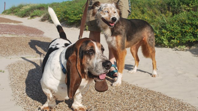
Pets in the Park
Learn about the regulations regarding pets in the park. 
Weather
Planning on visiting the island? Find information on current weather conditions. 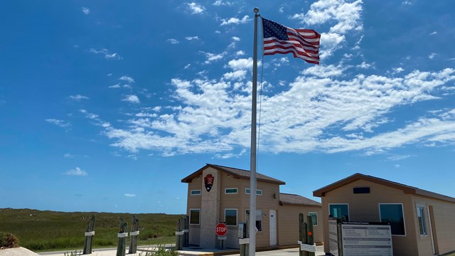
Operating Hours & Seasons
Learn about the hours for the park, the visitor center, and more. 
Permits & Reservations
Apply for a special use permit. 
Report A Lost Item
Fill out an online form to report your lost item. |
Last updated: February 4, 2024
