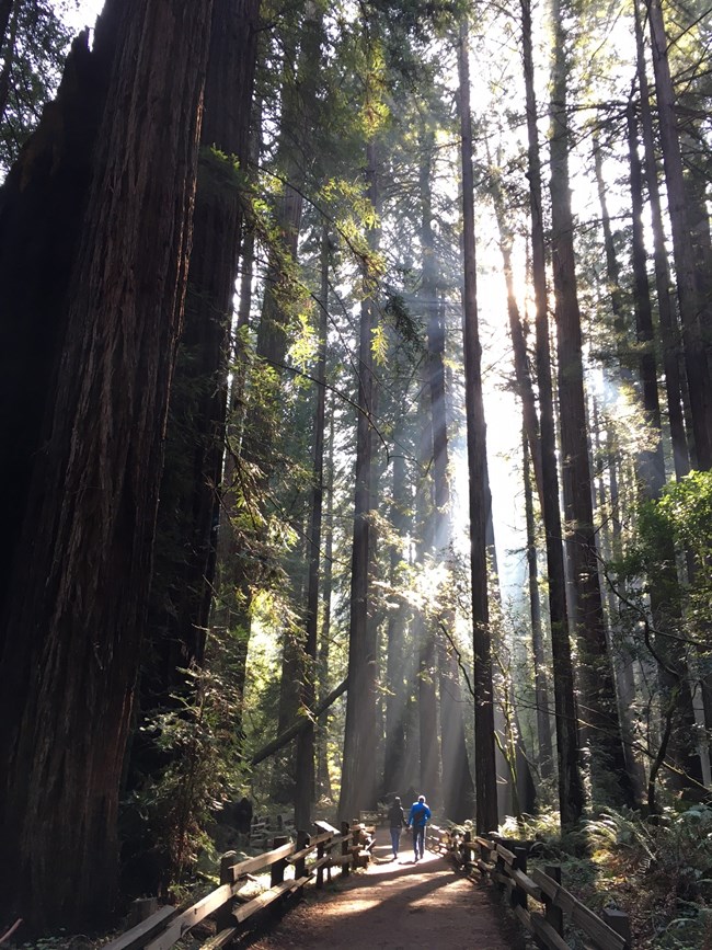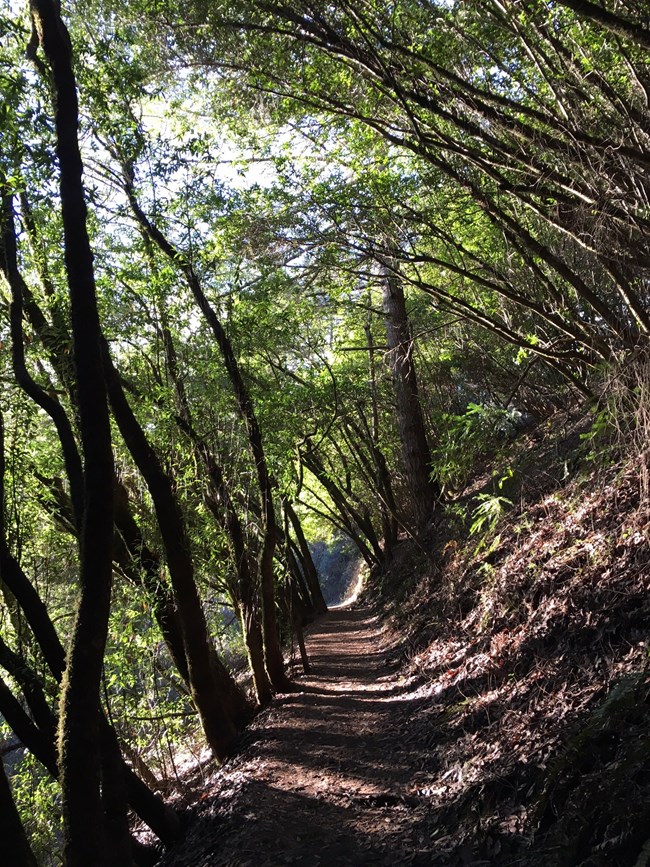
#FindYourTrailMuir Woods National Monument contains 6 miles of trails. There is a 1/2 hour loop, a 1 hour loop, and a 1 1/2 hour loop as well as longer hikes on trails that extend into surrounding Mount Tamalpais State Park. View a map of Muir Woods and its vicinity. All of these walks afford views of old-growth coast redwoods, the tallest living things in the world. Pets, bicycles, smoking, horseback riding and camping are not permitted within the park. Picnics are not permitted in the forest. The trails in Muir Woods are asphalted or boardwalked. Trails on the canyon walls are dirt, narrow, steep, and rutted with tree roots.
Ready to Plan Your Hike?Below are descriptions of popular walks and day hikes in and around Muir Woods, including distance and elevation. Check with staff when you arrive about current trail conditions, and be sure to carry a hiking map.
A summary of the popular hikes at Muir Woods, starting with the shortest and easiest,
|
| Hike |
Round-trip distance and elevation gain |
Time estimate |
Description |
| Main Trail: Bridge 2 loop |
0.5 mi/ 0.8 km Mostly flat |
+/- 0.5 hour
|
The main trail begins at the entrance plaza under the Muir Woods arch and follows Redwood Creek. Enjoy views of old growth redwood forest from a stroller and wheelchair accessible boardwalk. Cross the second bridge to make a 1/2 mile loop. |
| Main Trail: Bridge 3 loop |
1 mi/ 1.6 km Mostly flat |
+/- 1 hour | Continue on the main trail until the third bridge. Cross and return on the other side of the creek to make a 1 mile loop on this stroller and wheelchair accessible chair. Note: the west side between bridge 2-3 has more uneven terrain that may be more challenging for some wheelchairs. |
| Main Trail: Bridge 4 loop |
2 mi/3.2 km Mostly flat |
+/1.5 hours | Continue on the main trail until the 4th bridge. To stay on the accessible trail, turn around at the bridge and retrace your steps until you reach the third bridge. Cross the third bridge on whichever side you haven't yet seen. |
| Main Trail: Bridge 4 back on Hillside |
2mi/ 3. 2 km
Elevation Gain: 90 ft/ 27 m |
+/- 1.5 hours | Continue on the main trail until the 4th bridge. Continue past and head up a small hill. Take the next left onto the Hillside Trail, a narrow dirt trail with views looking down onto the creek and redwoods. This trail has a steeper drop-off along the side, and is a narrow dirt trail. |
| Fern Creek to Camp Alice Eastwood Loop |
3 mi/ 4.8 km
Elevation Gain: 340 ft/ 103 m |
+/- 2 hours
|
A family favorite, especially for those with kids! Hike along lush Fern Creek through a redwood canyon, look for the trailhead sign 0.25 mi/ 0.4 km past Cathedral Grove. After following the creek for 0.5 m (0. 8 km), take a left over the bridge to begin climbing uphill towards Camp Alice Eastwood, where you'll find water, restrooms, and picnic tables. The Plevin Cut Trail or Camp Alice Eastwood Trail will lead you back to the main trail. |
| Canopy View to Lost Creek to Fern Creek loop | 3 mi/ 4.8 km Elevation Gain: 530 ft/161 m |
+/- 2.5 hours | An uphill hike takes you into the quiet, peaceful forest, look for the Canopy View Trailhead located just after Founder's Grove. After climbing approximately 1.3 mi/2 km you will be at almost 1000 ft/ 300 ft elevation; take the Lost Trail turnoff on the left and descend through deep forests of Douglas fir into the redwoods. The Lost Trail ends at the Fern Creek trail; turn left and follow Fern Creek Trail back to Muir Woods' main trail. |
| Ben Johnson, Return Via Dipsea Loop |
Summer:
4 mi/ 6.4 km Elevation Gain: 925 ft/ 282 m Winter: 5 mi/8 km Same elevation |
Summer:
+/- 3 hours Winter: +/- 3-3.5 hours |
Want to take a walk through the redwoods and then climb to a view of Mt. Tamalpais, the Pacific Ocean, and San Francisco? From the Main Trail, cross Bridge 4 and continue uphill to the Ben Johnson Trail. Climb steeply up the canyon through redwoods and turn left at the first junction. Cross the Deer Park Fire Road and turn left on the Dipsea Trail, heading back to Muir Woods by passing through grasslands and scenic viewpoints. Your time on the Dipsea Trail will end with a stroll over the Redwood Creek Footbridge. Check with the Visitor Center for bridge conditions; it is closed for Coho Salmon spawning season every winter. This adds .75 miles onto the original hike, as you detour from the Dipsea Trail onto the Deer Park Fire Road, and take a left onto the main road to return to the visitor center. |
| Canopy View to Redwood to Sun Trail to Dipsea Loop |
5 mi/ 8 km
Elevation Gain: 780 ft/ 238 m |
+/- 3 hours
|
Turn off Muir Woods' main trail onto the Canopy View Trail and climb uphill for 1.5 mi/ 2.4 km, then turn right where it intersects Panoramic Trail, parallel to the Panoramic Highway. After a short distance, turn right onto the Redwood Trail, a mostly level path that curves in and out of drainages. After 0.7 mi/ 1.1 km on the Redwood Trail, you'll reach the Tourist Club, a members’ only establishment. The Redwood Trail ends and becomes the Sun Trail, continuing for 0.7 mi/ 1.1 km. At the Dipsea Trail, turn right, cross Muir Woods Road, and continue on the roadside trail to Muir Woods. |
| Muir Woods to Muir Beach and back via the Redwood Creek Trail |
6 mi/ 9.7 km
Elevation Gain: 150 ft/ 46 m |
+/- 4 hours
|
From the Visitor Center, walk back past both Muir Woods parking lots and carefully alongside Muir Woods Road. In 0. 5 mi/ 0.8 km, the Redwood Creek trail begins on the left (east) side of the road, right across from where the Deer Park Fire road intersects with the road on the left (west) wide of the trail. Follow the Redwood Creek Trail until you reach the intersection of Hwy 1 and Muir Woods Road. Continue straight (south) for about 0.25 mi/ 0.4 km, then turn right onto Pacific Way (the road to Muir Beach). Caution: Poison oak and ticks are common on this trail. Note: this trail does not take you along any redwoods.. |
| Bootjack to TCC to Stapleveldt. Return either via Dipsea or Ben Johnson |
6 mi/9.6 km
Elevation Gain: 1000’/305 m If returning on Dipsea during the winter: 7 mi/11.2 km Same elevation |
+/- 4 hours
If returning on Dipsea during the winter: +/- 5 hours |
A quiet, beautiful hike that follows a stream up a steep hill. Folow the Main Trail. Right before Bridge 4, take the Bootjack trail, which heads uphill next to a creek. When you reach the Van Wyck Meadow, enjoy a sunny clearing and the knowledge that most of your steep uphill climb is complete. Take the TCC trail, a winding and lovely trail that rolls up and down through redwoods, until you reach the Stapleveldt trail. Take the Stapleveldt until you reach an intersection with the Dipsea and Ben Johnson trail. To complete your hike in the shade of the redwoods, take the Ben Johnson trail downhill and wind up near Bridge 4 in Muir Woods. To complete your hike on the rolling, grassy hills looking over the ocean, take the Dipsea Trail. If you choose to take the Dipsea trail back, check with the Visitor Center for bridge conditions; it is closed for Coho Salmon spawning season every winter. This adds .75 miles onto the original hike, as you detour from the Dipsea Trail onto the Deer Park Fire Road, and take a left onto the main road to return to the visitor center. |
| Muir Woods to the East Peak of Mountain Tamalpais |
8 mi/12.8 km
Elevation Gain: 2600 ft/792 m |
+/- 5-6 hours
|
For an all-day hike, go through the forested valley of Muir Woods to the top of the tallest peak in Marin County! This hike is especially lovely on clear days, where from the top of Mount Tam you can see a 360-degree view of the Bay Area. This is not for the faint of heart, with steep elevation gains- but worth it for the view. From the Muir Woods Visitor Center, go on the main trail to the Canopy View Trail. Take a left on the Panoramic Trail, and cross the road near the Mountain Home Inn. Take the Hog back fire road, which begins to the left of the fire truck garage down the road. From Hog back, take a left on Old Railroad Grade road, then a right onto Fern Creek Trail. That will take you to the peak of the mountain! |
| Muir Woods to Stinson Beach via Dipsea Trail and back |
10 mi/ 16.1 km
Elevation Gain: 2480 ft/ 749 m |
+/- 6-7 hours | For an all-day hike, head into the forest to Bridge 4, and continue up the Ben Johnson Trail. At the intersection of Ben Johnson and Dipsea trail, take a right onto the Dipsea Trail, following it all the way up, then down on the other side of the mountain towards Stinson Beach. After you've spent some time enjoying Stinson, turn around and head up the same trail you went down to return. |
| Muir Woods to Stinson Beach and via the Dipsea Trail, return via the Steep Ravine Trail | 11 mi/17.7 km Elevation gain: 2860 ft/ 871 m |
+/- 7-8 hours |
For an all-day hike, head into the forest to Bridge 4, and continue up the Ben Johnson Trail. At the intersection of Ben Johnson and Dipsea trail, take a right onto the Dipsea Trail, following it all the way up, then down on the other side of the mountain towards Stinson Beach. After you've spent some time enjoying Stinson, turn around and head up the same trail you went down to return. At the junctune of the Dipsea Trail and the Steep Ravine Trail, take the Steep Ravine Trail up a steep climb that includes a 10' ladder climb. Take the Steep Ravine Trail until Pantoll Campground. Head uphill through the campsites to find the Stapleveldt trail, which you take until it intersects with the Ben Johnson Trail. The Ben Johnson will take you to Bridge 4- from there, take the Main Trail back to the Visitor Center. |

Mount Tamalpais State Park
Muir Woods National Monument is surrounded by California State Park property. Many trails to and from Muir Woods connect with Mount Tamalpais State Park trails. These trails are long, narrow, unpaved, and often steep, requiring sturdy shoes with good treads.
If you are planning to exit the monument via a state park trail, we recommend that you purchase a Muir Woods Park Map which includes a Nature Self-Guide and Watershed Hiking Map.
This map may be purchased for $1 at the Visitor Center.
Last updated: January 25, 2023
