![]() NPS/M. Quinn 8/1/2021 COVID-19 Safety Modifications to Shuttle Operations:Due to current LOW CDC Community Level in Coconino County —Face masks are not required this week in either indoor or outdoor locations, or on public transportation. However physical distancing is encouraged. Updated every Thursday.
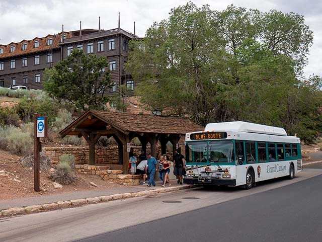
Village (Blue) RouteNow In ServiceThis loop route provides transportation between the Visitor Center Plaza, lodges, restaurants, campgrounds, the Backcountry Information Center and Market Plaza (market, bank and post office). ![]() 50 Minutes Round-trip(without getting off the bus) Winter Bus Schedule:(December 1, 2022 through February 28, 2023)
Village (Blue) Route - Need to Know
Please refer to the loop diagram below, along with the "South Rim Pocket Map and Services Guide (1.1 MB PDF file) for more information about this route. ![]() Points of Interest(also shown on the map below)
Canyon Views are a Short Walk from these Bus Stops:(Locations are shown on the map below)
Winter 2022/2023 — Shuttle Bus Route Map![]() Possible Itineraries on the Village Blue RouteBeautiful Views and Early Park HistoryLeave the car in parking lot A near Park Headquarters walk the spur trail to the canyon rim, then turn west and walk along the Canyon Rim Trail, taking in spectacular canyon views. In approximately 1.5 miles (2.4 km), you will come to historic Grand Canyon Village, where you can visit Verkamp's Visitor Center, Hopi House, the historic hotels, the railroad depot, Lookout Studio, and Kolb Studio, Discover the Canyon's Geologic StoryLeave the car in one of the parking areas at Grand Canyon Visitor Center, follow the canyon rim signs to Mather Point, and walk west along the Rim Trail taking in spectacular canyon views. In approximately 0.7 miles (1.1 km), you will come to Yavapai Point Geology Museum, where you can learn about the canyon's geologic history. From the museum, you can take the Kaibab Rim (Orange) Route back to the visitor center or continue walking another 1.0 mile (1.6 km) along the Rim Trail to the Shrine of Ages, where you can ride the Village Route back to the visitor center or keep walking along the Rim Trail to Grand Canyon Village (see itinerary above).
When walking or cycling at the Grand Canyon, make sure to take your time and carry food and water with you. The South Rim of Grand Canyon averages 7,000 feet / 2,134 meters above sea level. Visitors with respiratory or heart problems may experience difficulties. Exercising at this elevation can be strenuous.
Additional Shuttle Bus RoutesShuttle Bus Home Page
|
Last updated: January 12, 2023