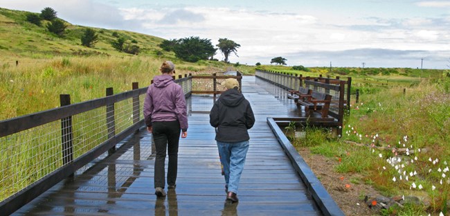
NPS Trail OverviewDistance: 1.0 mi (1.6 km)Elevation Gain: 30 ft Time: 1 hour Trailhead: Mori Point Slope: Avg -1% Max 5% Side Slope: Avg 3% Max 9% Width: Avg 125" Min 86" Trail Surface: Firm Old Mori Trail is a 1 mile round-trip out and back hike to the cliffs overlooking the Pacific Ocean. As you make your way out to the ocean, keep an eye out for a Chestnut-backed Chickadee, listen for the mating call of a Pacific tree frog, and scan the horizon for migrating whales. Trail Profile
Trail Map
Safety
ParkingThere is trailhead parking at Mori Point including two ADA accessible spots. An accessible restroom can be found at the Mori Point parking area. Trail EtiquetteLeashed dogs are permitted on the Old Mori Point Trail. Please remain on the established trail. Off-trail travel harms plants and causes erosion. Keep your food within arm's reach at all timesand do not feed the wildlife. Carry out all trash and food waste (fruit peels, shells, etc.). |
Last updated: August 13, 2020
