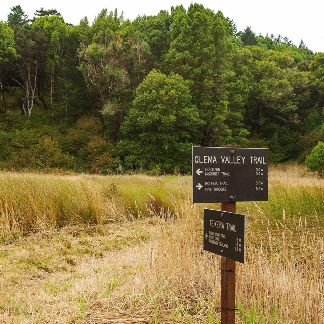
The Olema Valley district of the GGNRA is administered by Point Reyes National Seashore.
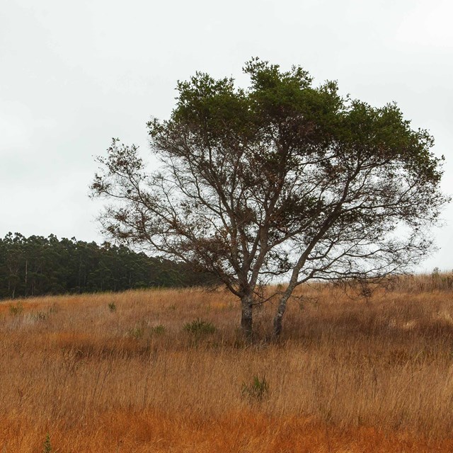
The San Andreas Fault divides Olema Valley, a lovely, undulating landscape that dips slowly down to the waters of Tomales Bay in the north, and Bolinas Lagoon in the south.
Growing along the creeks in Olema Valley is an ancient plant species called "scouring rush," also known as horsetail. Pioneers discovered silica in the plant and used it to scour pans. The plant is also a good cure for rash caused by stinging.
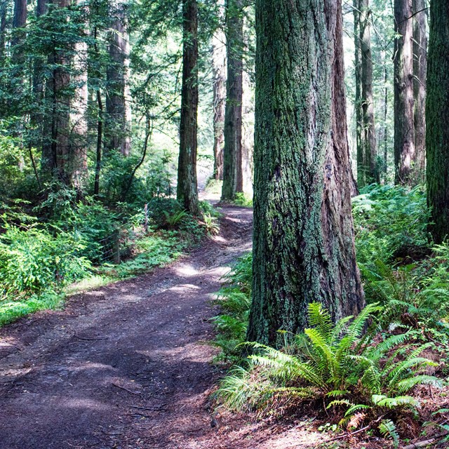
Hike or bike along the Bolinas Ridge Trail, which crosses rolling coastal range land, enters towering redwoods, and breaks into open chaparral before it reaches its southern trailhead at Alpine Road on Mount Tamalpais—offering birds-eye-views of the San Andreas Rift Zone.Hike or bike along the Bolinas Ridge Trail, which offers birds-eye-views of the San Andreas Rift Zone as it crosses rolling coastal range land, enters towering redwoods, and breaks into open chaparral before it reaches its southern trailhead on the Fairfax-Bolinas Road. The San Andreas Fault slices straight through Olema Valley. The west side and Point Reyes sit on the Pacific plate and the east side and rest of the continent on the North American plate.
Tips & Highlights
- The 11-mile-long Bolinas Ridge trail may be Hike or biked as an out-and-back, or parts of it may be incorporated in a loop hike that starts from trailheads along Sir Francis Drake Boulevard or Highway 1.
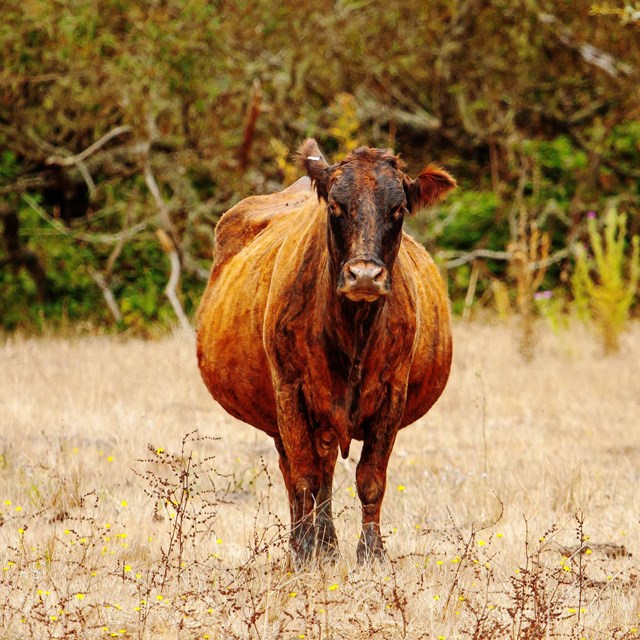
- Drive down Highway 1 between Wilkins Ranch and the town of Olema and experience the region's ranching past.
- If you time your hike so that you are on northern 2.5 miles or so of the Bolinas Ridge Trail around sunset, you can see the view with few trees to obscure the horizon. It is sure to be breathtaking!
- Olema Valley is very exposed, so be sure to wear sunscreen and light layers on sunny days.
- The Bolinas/Fairfax road is often closed in winter due to landslides and in summer due to fire hazards.
- Olema Valley has limited public facilities so please carry water and other necessities when hiking.
- Dogs are allowed on the Bolinas Ridge Trail, but must remain leashed. Watch out for ticks, especially in the tall grasses.
- There is parking off Sir Francis Drake Boulevard.
- The Marin Stagecoach Route 68 goes to Olema Valley with a stop at Sir Francis Drake Blvd.
- For more information, please contact: Bear Valley Visitor Center, Phone: 415-464-5100.

