|
Visit our keyboard shortcuts docs for details
Prepare for your backcountry hiking or backpacking trip in Canyonlands National Park. Helpful tips and advice provided in this video will help you plan your trip and Leave No Trace while out in these pristine areas. General Backpacking FAQsMuch of Canyonlands is undeveloped land, and the park has become an increasingly popular destination for backcountry travel. You will need a permit for all overnight trips in the backcountry. During the spring and fall, permit availability is highly competitive. If you plan to visit Canyonlands during peak season, you may have to reserve your permit up to four months in advance. Where can I reserve a campsite? I reserved a permit for an at-large backpacking zone. How do I pick a campsite? Where can I find drinking water? We encourage backpacking groups to pack in water whenever possible. Many springs marked on topographic maps may no longer exist or may dry up during periods of drought. Check the sections below for information on camping in each district of the park. 
Photo by Avery Sloss Backpacking at The NeedlesThe Needles is the most popular backpacking destination in the park. You can access most trailheads with a two-wheel-drive vehicle. You may find water seasonally in many of the canyons east of Chesler Park. Permits are required for all overnight trips into the backcountry. During the spring and fall, demand for permits is very high. If you plan to visit Canyonlands during peak season—especially during spring break (March)—you may have to make a reservation four months in advance. Most backpackers stay at designated campsites in The Needles. All of these campsites require campers to carry out all solid human waste in a commercial human waste disposal bag. In areas where there are no established campsites, backpackers can reserve a permit for an at-large zone. Campsites in the Salt Creek area require the use of approved hard-sided food storage containers (e.g. bear canisters). 
NPS/Elsie Fisher Backpacking at Island in the SkyIsland in the Sky is a challenging place to backpack. The landscape below the mesa top is a mixture of talus slopes and vast basins without any reliable water sources. Some trails lead below the White Rim Road to the rivers, but river water is silty and difficult to purify. All overnight routes involve a descent of over 1,000 feet, except Murphy Point which is on the mesa top and is an ideal destination for single-night trips. Backpackers camp in an at-large zone unless traveling along the Syncline Trail where there is a designated site. A permit is required for all overnight trips. 
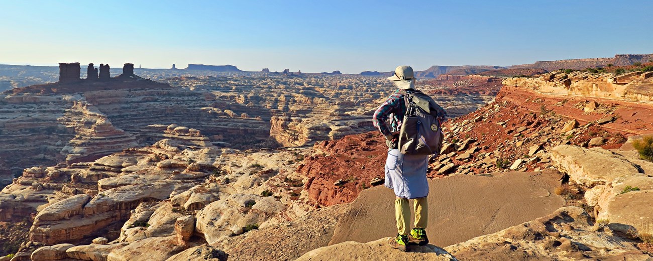
NPS/Paul Magnanti Backpacking at The MazeTrails in the Maze are primitive and lead into canyons and to various viewpoints. Due to the nature and depth of Maze canyons, access to them is limited. Routes into the canyons are cairned from mesa top to canyon bottom, but routes through washes are often unmarked. Many of the canyons look alike and are difficult to identify without a topographic map. The Maze Overlook Trail and other routes in the district require basic climbing maneuvers in order to negotiate sections of steep slickrock and pour-offs. A 25-foot length of rope is often essential for raising or lowering packs in difficult spots. Many routes may make hikers with a fear of heights uncomfortable. Permits are required for all overnight trips in the backcountry. During the spring and fall, demand for permits frequently exceeds the number available. If you plan to visit Canyonlands during peak season, it is recommended that you make reservations well in advance. Backpackers stay in at-large zones. There are several reliable springs in the canyons of the Maze, and the status of these springs is available at the Hans Flat Ranger Station. Getting to Trailheads Most trailheads start from four-wheel-drive roads. Visitors with two-wheel-drive vehicles may park at the North Point Road junction, approximately 2.5 miles southeast of the Hans Flat Ranger Station, and hike 15 miles to the Maze Overlook. Depending on the vehicle, hikers may also be able to negotiate the 14-mile road to park at the top of the Flint Trail switchbacks. Another popular way for backpackers to reach the Maze is via jet boat shuttle from Moab. A two-hour shuttle provides access to Spanish Bottom on the Colorado River. From there, a foot trail climbs over 1,000 feet to the Doll House. Jet boat shuttles are available from two companies:
|
Last updated: May 14, 2025
