Natural Features & Ecosystems

a flat grassy upland filled with staghorn sumac with winding branches and dark green and red leaflets
The mouth of Thompson Island’s eastern Salt Marsh. In the foreground, a flat grassy upland is filled with staghorn sumac in early Fall, identifiable by its thin, winding branches and intermixed dark green and bright red leaflets. Beyond the upland, deep blue water enters the frame through a thin channel from the harbor, whose water stretches beyond the upland on the upper right side of the frame. In the distance the two drumlins  of Spectacle Island rise above the horizon.

NPS Photo

 
A bumble bee extracting nectar from common milkweed flowers
A bumble bee extracting nectar from common milkweed flowers. A large bee with a black head and wings, a fuzzy yellow back, and large bright orange ‘saddlebags’ made up of accumulated pollen on its back legs drinks nectar from a light purple flower with five petals, one of a dozen clumped together.

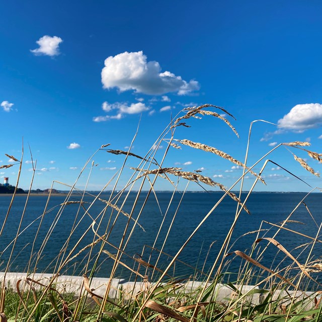
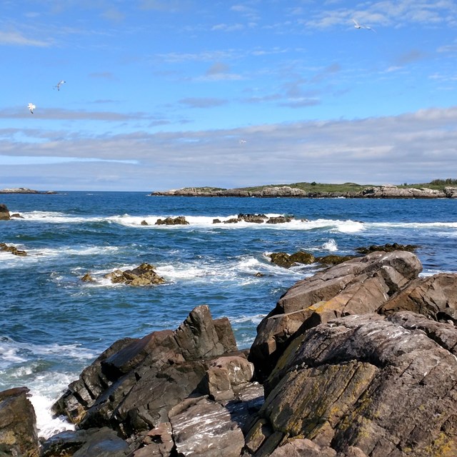
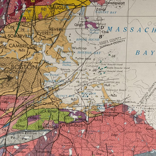
NPS Photo/Fischbein

From the densely settled downtown of Boston, extending over eleven miles seaward into the open Atlantic, the Boston Harbor Islands represent a remarkable diversity of natural features. As one of only three partially flooded drumlin fields in the world, and the only one in North America—with glacially carved hills rising above the sea as islands—the region provides insight into urban ecology, coastal ecosystems, and offers a critical perspective into adaptations to sea level rise and climate change.

Once considered the dirtiest harbor in the United States, Boston Harbor has been rejuvenated and remains a vital ecological hotbed, containing rocky shores, sandy shores, salt marshes, sea grass beds, tidal mudflats and more. These ecosystems are important in sustaining local food webs and biodiversity, mitigating flood and storm impacts, and establishing the unique appeal and beauty of the area to all who live and visit here.


Click on the following subsections to learn more about the natural features of Boston Harbor.

 
  • grass stalks on an island against the backdrop of a deep blue ocean and mostly clear sky.
    Massachusetts Bay and Boston Harbor

    Boston Harbor sits within Boston Bay, a feature of the forty-mile long Massachusetts Bay that extends from Cape Ann to Plymouth Harbor.

  • reddish brown rocky shore with the deep blue waters of the outer Boston Harbor in the background
    Coasts & Shorelines

    The Boston Harbor Islands National and State Park encompasses over 35 miles of coasts and shoreline on thirty islands and four peninsulas.

  • A multicolored map of Boston and the surrounding area filled with different colored layers represent
    Geologic Formations

    Learn about the bedrocks and geologic formations that make up Boston Harbor and the islands.

Last updated: November 3, 2021

Park footer

Contact Info

Mailing Address:

15 State Street
4th Floor

Boston, MA 02109

Phone:

617 223-8666

Contact Us