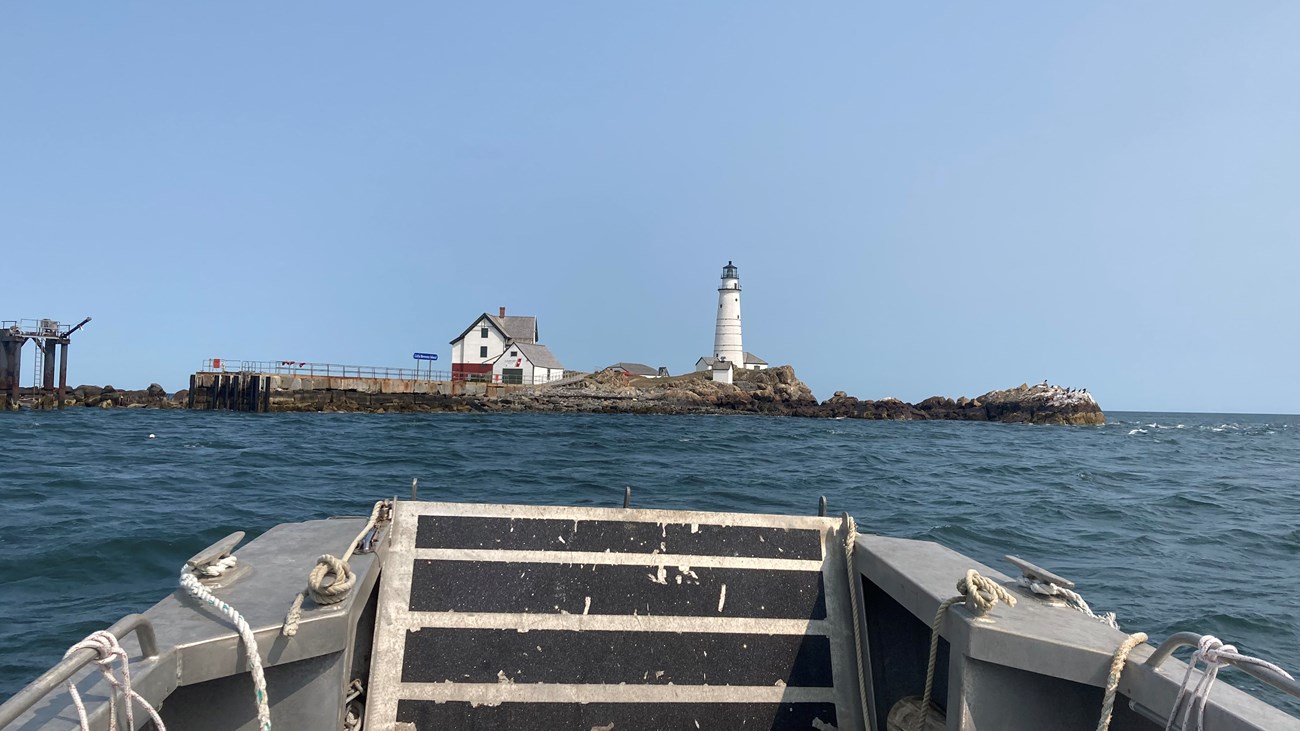
NPS Photo/Lampley The Boston Harbor Islands National and State Park encompasses over 35 miles of coasts and shoreline on thirty islands and four peninsulas. These coasts and shorelines have been – and continue to be - constantly shaped and reshaped by physical processes. Wind, rain, ice, storm waves, and tides all sculpt these intermediary spaces between the mainland and the open ocean waters. The inner islands—such as Thompson, Spectacle, Snake, and Grape Islands— exist within comparatively quiet conditions, protected from the heightened wave and weather activity to which the outer islands—including the Brewster islands, Calf Island, and the Graves—are exposed. Within the Boston Harbor you can find sandy and rocky beaches, coastal bluffs, salt marshes, developed shorelines, and more. A rich and ever-changing array of seaweeds (macroalgae), vascular plants, invertebrates, fishes, birds, and mammals are dependent on these important intertidal habitats. Learn more about Intertidal and Subtidal Zones, Rocky Intertidal Zones, and Sandy Intertidal Shores
NPS Photo/Lampley 
NPS Photo/Vincent |
Last updated: November 2, 2021
