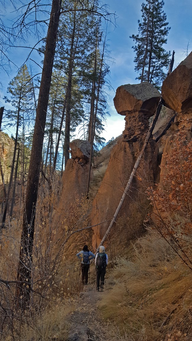
Photo by Sally King The Frijoles canyon trail is a very popular 8 mile one way hike from Ponderosa group campground to the Visitor Center. This trail has just been rebuilt after the Conchas fire and subsequent flooding, and is now in great condition. From Ponderosa campground the trail descends into the canyon bottom and turns left along the creek and canyon bottom towards the Visitor Center. Take the time to enjoy the incredible rock formations and relax in the peace and quiet that is becoming so hard to find in our modern world. Be prepared to get your feet wet as there are no bridges, but the water is usually no more than a couple of inches deep. Please note: Conditions are subject to change, depending on summer rains and flood events. 
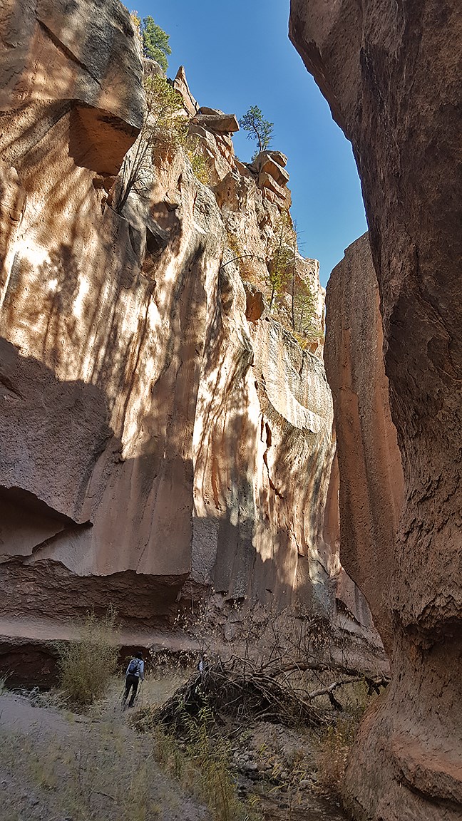
photo by sally king The Narrows are as gorgeous as ever, with its sun dappled cliffs and lively creek. With the floodwaters continuing to rearrange the canyon bottom, some areas are stunningly beautiful. Although greatly changed, this is still a beautiful hike and offers unique perspective to the power of water. For those who have hiked this trail before, you will notice that a lot of the old landmarks are gone and it will be like exploring a new canyon. For first timers it will almost seem like you are hiking a canyon in Utah, only in your own backyard. Take the time to enjoy the incredible rock formations and relax in the peace and quiet that are becoming so hard to find in our modern world. Please note: Since the Las Conchas fire, Frijoles Canyon is more susceptible to flash floods. During the monsoon season it is best to be out of the canyon before the afternoon rain. 
photo by sally king Here are some options of different ways to hike the Frijoles Canyon Trail: Leave one vehicle at the Visitor Center, then drive another to Ponderosa Campground, hike the either the Canyon or the Canyon rim trail to the Visitor Center, then drive the car you left there back to Ponderosa Campground. This is approximately an 8 (.2 miles more for the rim trail) mile hike. Another option is to park at the Visitor Center, hike up the Long Trail then along the Frijoles Rim Trail to Upper Crossing, then down Frijoles Canyon back to the Visitor Center. This is approximately a 13 mile loop, so come prepared to spend the day. Finally, another way is to simply park at the Visitor Center, hike up the canyon, then hike back down to the Visitor Center. The Narrows area is about 4 miles up canyon from the Visitor Center and is quite stunning so be sure not to turn back too soon! If you have questions, the staff at the Visitor Center will be happy to help you. They can also tell you about some of the other great hiking opportunities at Bandelier National Monument. From day hikes to multi-day backpacking trips, there is something for everyone who has the skills/mindset to meet the current challenges. 
Photo by Sally King 
photo by sally king 
photo by sally king 
photo by sally king 
Photo by Sally King 
photo by Sally King 
Photo by Sally King |
Last updated: April 28, 2025
