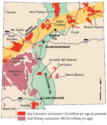
"Our ancestors knew how to shape these volcanic rocks into arrowheads, axe heads, corn grinding tools, and homes." – Affiliated Pueblo Committee The geology of the Pajarito Plateau shaped the lives of the people who inhabited this landscape. The dramatic cliffs of Frijoles Canyon were created from the ash of massive volcanic eruptions. 
photo by sally king Massive Eruptions 
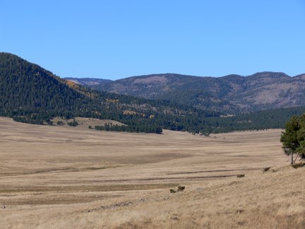
photo by sally king During the eruptions that formed the Valles Caldera, ash flows up to 1,000 feet thick covered the landscape from the caldera rim to the Rio Grande. As the hot ash cooled, it welded into a rock called tuff. Bandelier is located on this broad, sloping layer of tuff called the Pajarito Plateau. 
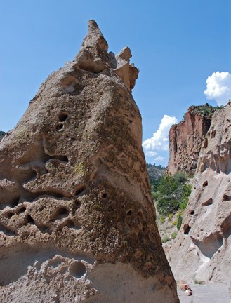
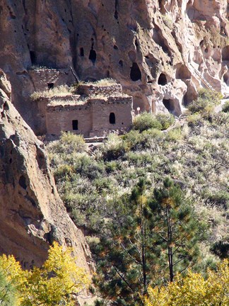
photo by sally king Tuff is very light and soft. Over time, wind and water gradually eroded away softer areas of tuff, creating holes in the exposed canyon faces. The Ancestral Pueblo people used these to their advantage. With hand tools, they enlarged and shaped cliff openings into useful shelters called cavates (CAVE-eights). They used tuff blocks to build apartment-like homes along the cliff faces in front of the cavates. |
Last updated: April 28, 2025
