Alerts Current view of Yosemite Falls
(Yosemite Conservancy webcam) Road StatusCall 209/372-0200 (press 1 then 1) for the most up-to-date conditions (the information below only reflects planned or long-term closures)
Feeling lost? Find driving directions. You can also view a map showing road conditions outside of Yosemite. Current RoadworkSeasonal Information
Fire and SmokeWith the end of fire season, we may ignite burn piles throughout the park. Yosemite's air quality may be affected by fires elsewhere in the region or by prescribed fire in Yosemite; hazy or smoky conditions are always possible. Fire and Smoking RestrictionsCurrent Air Quality in Yosemite VillageCampground InformationCamping and sleeping in a vehicle is only allowed in campsites you are registered to stay in. If campgrounds are full, you must find a campground elsewhere to stay in. If all open campgrounds in the park are full, you must leave the park to camp or sleep in your vehicle.
View estimated opening and closing dates in 2025 for all campgrounds. Reservations are available up to five months in advance and are strongly recommended. If you don't have a reservation, get details about camping without a reservation. Visit Yosemite Hospitality's website for lodging information (including information about Housekeeping Camp and High Sierra Camps). Reservations are available and recommended up to 366 days in advance. Trails and Wilderness ConditionsTrails in Yosemite may be closed when there are hidden hazards or when they are impassable due to rockfall, snow, ice, or fire. Open trails aren't necessarily free of hazards. By entering the wilderness, you assume responsibility for your safety and must use good judgment. Trails not listed below are open, but may be snowy and very difficult to find from about November through May/June (and may have other hazards). Yosemite Valley Area
Crane Flat to Tuolumne Meadows Area
Climbing ClosuresClimbing closures are in effect on several routes each year from March 1 through July 15 to protect peregrine falcons and other closures may occur throughout the year. Please note that, a free wilderness climbing permit is required for all overnight big wall climbs. More Information Sources
Weather Forecasts
National Weather Service forecasts for Yosemite 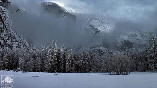
Webcams
View webcams in Yosemite National Park 
How High is the River?
View streamflow data for the Merced River in Yosemite Valley 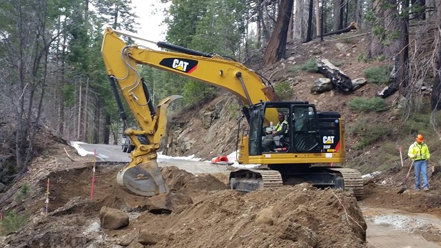
Road Work
Before you hit the road, check for current information about road work in Yosemite. 
Tuolumne Meadows Winter Conditions
Weekly updates from the Tuolumne Meadows winter rangers (approx. December through April). 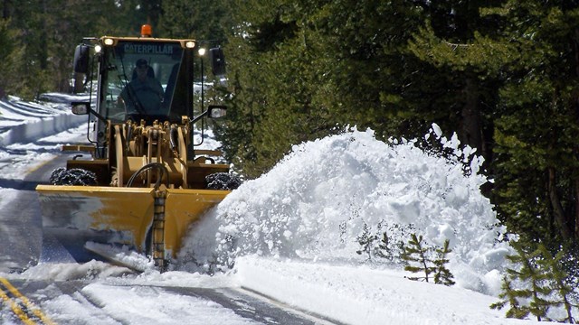
Tioga & Glacier Point Roads Plowing
Plowing updates from the Tioga and Glacier Point Roads. | ||||||||||||||||
Last updated: November 18, 2024