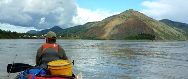
NPS Photo by Josh Spice Eagle Bluff, the rust colored cliff dominating the skyline northwest of town, is composed mainly of greenstone. The rusty color results from oxidation of iron in the greenstone. Thick veins of quartz cut through the bluff. 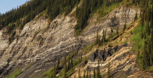
NPS Photo by Josh Spice Folded and faulted layers of shale, sandstone, mudstone, and conglomerate are exposed on the left side of the river between Eagle Bluff and Sixmile Bend. This is the Nation River Formation (Devonian). 
NPS Photo by Josh Spice Calico Bluff welcomes the river traveler to Yukon-Charley Rivers National Preserve. Rhythmically layered limestone and shale constitute the Calico Bluff Formation (Mississippian and Pennsylvanian). The spectacular folds and faults are evidence of the compressional forces in the earth. The yellow-green layers in the center of the bluff are black shale that has been coated with sulfur, a typically abundant substance in organic shale. Ford Lake Shale is visible once again on the downriver side of Calico Bluff. 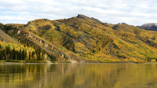
NPS Photo by Josh Spice 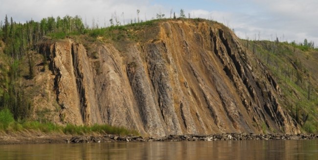
NPS Photo by Josh Spice 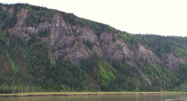
NPS Photo by Josh Spice Barren cliffs downstream from the mouth of the Seventymile River expose sandstone, mudstone, conglomerate, and coal (Cretaceous and Tertiary). 
NPS Photo by Josh Spice 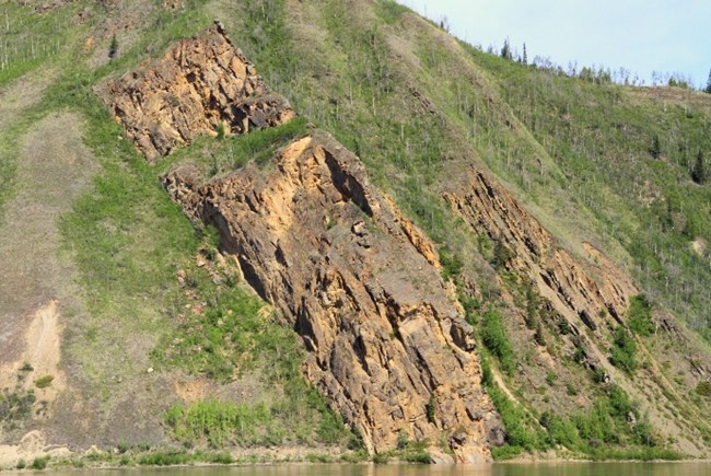
NPS Photo by Josh Spice Montauk Bluff is a part of the Nation River Formation. On this bluff and the adjacent ridge are exposures of chert-pebble conglomerate, shale, and fine, olive-gray sandstone. This formation is found extensively throughout this section of the preserve. |
Last updated: October 31, 2018
