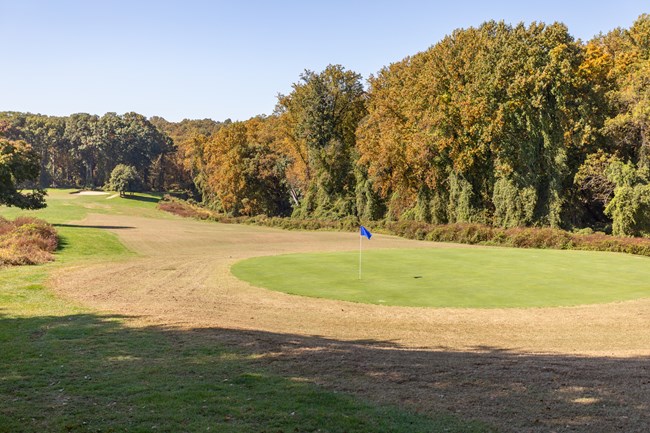
NPS / Claire Hassler Rock Creek Park Golf CourseLocated on the east side of Rock Creek Park, along 16th Street NW, north of Military Road NW in Washington, DC, the Rock Creek Park Golf Course consists of an 18-hole, parkland style golf course. The 103-acre course is located approximately six miles northwest of the United States Capitol and three miles south of Silver Spring, Maryland. HistoryWashington, DC's, public golf courses are all from the Golden Age of golf, a period of explosive growth of the sport's popularity in America in the early 20th century. Architect William S. Flynn designed the Rock Creek Park Golf Course, which was built between 1921 and 1926 under the direction of the Office of Public Buildings and Grounds. Flynn's design sought inspiration from and harmony with the existing landscape. The course's design incorporated the terrain and stands of mature trees to provide vistas and scenic routes along the course. The design also incorporated an existing farmhouse by converting it into a clubhouse. The original nine-hole course opened in May 1923, with President Warren G. Harding in attendance. BibliographySource: NPS DataStore Collection 9402 (results presented are a subset). To search for additional information, visit the NPS DataStore. Rehabilitation Project
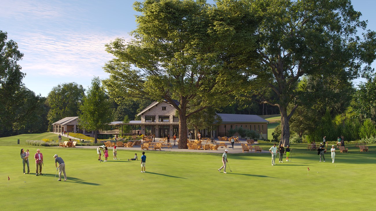
Courtesy of National Links Trust The National Park Service and National Links Trust will begin rehabilitation of the Rock Creek Park Golf Course in late 2024. Why rehabilitation of the Rock Creek Park Golf Course is needed Improvements for visitor access and affordability In addition to the golf improvements, there will be new trails, meadows, and a restaurant. Also, employees will have better working conditions and there will be an improved space to host the golfer development programs the non-profit National Links Trust manages.
Improvements for the environment
Effects on endangered species (update Dec. 10, 2024) The NPS consulted with the U.S. Fish and Wildlife Service (USFWS) under the Endangered Species Act to make sure the golf course project avoids harm to sensitive species, including: Northern long-eared bat (endangered) Hay’s Spring amphipod (endangered) Tricolored bat (proposed endangered) Monarch butterfly (candidate species) USFWS Findings: The project avoids habitats that bats prefer. The interior forest of Rock Creek Park is the habitat area that bats use rather than the golf course area. There is no evidence of habitat for the Hay’s Spring amphipod or milkweed for monarch butterflies in the project area. Light and noise impacts from the project are minimal. NPS Commitments to Wildlife: The project uses an adaptive management approach, ensuring environmental considerations guide every decision. This approach allows us to learn, adjust, and improve practices over time. For example, invasive plant removal, pruning, and addressing safety concerns help balance habitat health with community use. Less than half of the trees identified in the Environmental Assessment will be removed this winter, focusing on areas where trees that are dead, invasive, or harming the turf. Goals of this project include improving turf health, tree health, and visitor safety. This requires the removal of invasive vegetation and trees that pose an unacceptable level of risk to the visitors of the golf course. This adaptive management approach of first removing invasive vegetation and unsafe trees will allow the NPS to see whether turf and tree health can be improved before proceeding with additional tree removals. For every healthy, native tree removed, three trees will be planted as part of the project and will connect fragmented habitats to larger forest areas. Due to adaptive management approach we will not know what that final number is until later in the project, but it could be up to 2,100 trees over 7.1 acres. All removals and the condition of trees are being tracked with GIS. 12.3 acres of meadow will replace invasive species and provide habitat for the Monarch butterfly and other insects and pollinators. The NPS and National Links Trust will use best practices for erosion, sediment control, and stormwater management. These steps reflect the NPS’s dedication to conservation and responsible land management. Learn more about the USFWS consultation at https://parkplanning.nps.gov/rockcreekgolfplan Tree Canopy and Planting Zones 

Left image
Right image
These two dropdowns provide more detailed alt descriptions of the maps in the slider feature above.
A map showing the existing tree canopy at the Rock Creek Park Golf Course.
Text above left of the map reads, Existing Tree Canopy. Text above right of the map reads, NPS National Capital Region Golf Courses Master Lease, Rock Creek Park Golf Course. A key below the map notes different colors and their meaning on the map. Green is the existing tree canopy and a red line is the lease boundary. This map also shows the proposed new configuration of the golf course in gray. A map showing the meadow and tree planting plan for the Rock Creek Park Golf Course. Text above left of the map reads, Meadow and Tree Planting Plan. Text above right of the map reads, NPS National Capital Region Golf Courses Master Lease, Rock Creek Park Golf Course. A key below the map notes different colors and their meaning on the map. Orange is riparian added, 0.4 acres; yellow is native grass meadow added, 3.8 acres; blue is mid successional native plan meadow added, 2.4 acres; pink is pollinator meadow added, 5.7 acres; green is proposed final tree canopy; purple is forest canopy; dark blue is parkland canopy; and a red line denotes the lease boundary. This map also shows the proposed new configuration of the golf course shown in gray. Proposed timeline
Funding the project
Learn more about the project Back to topRock Creek Park Golf Course News |
Last updated: December 10, 2024
