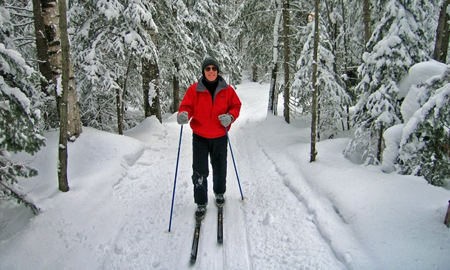
NPS photo Pictured Rocks National Lakeshore offers two groomed and tracked cross-country ski trail areas with multiple loops. One is located near Munising on the park's west end and the other is near Grand Marais on the park's east end. View and download the Munising Ski Trails map (1.68 MB pdf). View and download the Grand Marais Ski Trails map (1.98 MB pdf). These trails wind more than 20 miles through a magical landscape of varied habitats and topography, including beech, maple, hemlock, and conifer forests, old gently rolling farm fields, and rugged hills created in the park's glacial past. Since this region receives about 140+ inches of snow each year, skiing is one of the park's most popular winter sports. Each trail area offers a variety of loop lengths for a leisurely day ski or quick workout. Trail loops range from easy to difficult. All lakeshore ski trails are designed for diagonal stride only - skating is not permitted. To avoid ruining groomed tracks, pets, winter camping, snowshoeing, bicycling, and walking are not permitted on park ski trails. Maps are located at trailheads and at trail intersections. Follow the direction of travel. Note that some trails are two-way. Watch and listen for grooming equipment when you ski. Several Munising trail loops feature interpretive wayside exhibits along the route. Be sure to stop at these to learn about the interesting natural and human history of the area. Darkness comes early in winter so allow plenty of time to return to your vehicle before dark. As always, be sure to let someone know you where are skiing and when you expect to return. Wear adequate layers of clothing. Take food and water if you plan to be out for the day. Match your skill level to the trails you ski. Whether you are a novice or an accomplished skier, we hope you find the trails challenging and fun! MUNISING AREA SKI TRAIL INFORMATIONMunising ski trail loops can be accessed from two parking lots (see map). The interconnecting groomed trail loops total 10.4 miles. An additional ungroomed trail loop (G) that skiers share with snowshoers is 1.9 miles. Be aware that trail loops A and B cross a snowmobile trail at four locations - listen and watch for approaching snowmobiles before crossing.Ski trail conditions may vary. Heavy weekend use and alternating daytime thawing and nighttime freezing may turn snow-packed slopes into fast, icy runs. Watch for other skiers on downhill runs. Severe storms are common in the area and can occur quickly. Wind may obliterate the trail at times. There are no toilet facilities at either ski trail parking lot. The closest public restroom open year-round is at the Munising Falls parking lot. GRAND MARAIS AREA SKI TRAIL INFORMATIONThe parking area at Sable Falls is accessible only by snowmobile. The parking area at the Grand Sable Visitor Center is accessible by regular vehicle via Newberg Road (Rt. 772) from M-77, then following H-58 west for about 1/2 mile to the ski trailhead parking lot. This is the only portion of H-58 near Grand Marais that is plowed (see map).In the Grand Marais area, trail loops C and D cross a county road used by snowmobiles - listen and watch for approaching snowmobiles before crossing. The interconnecting groomed trail loops here also total 10.4 miles. The Grand Sable Visitor Center is closed in winter - however the vault toilet in the parking lot is open year-round. Other area cross-country ski trails: Grand Marais School Forest Ski Trails Valley Spur Ski, Snowshoe & Bike Trails |
Last updated: December 13, 2022
