NaturePictured Rocks National Lakeshore is home to over 300 species of animals, over 900 species of plants, and several unique ecosystems and geological features!The park's iconic cliffs are composed of several layers of sandstone, stained with minerals seeping from the cliffs. These cliffs rise over 200 feet above Lake Superior and are constantly being shaped by erosion. The Grand Sable Dunes at the far eastern side of the park are a stunning example of a perched dune system. Rare plants, like the Pitcher's thistle, are found only in Great Lakes Dunes. A diversity of plant and animal communities abound at Pictured Rocks - Jack pine forests, cedar glades, and inland lakes all support different kinds of mammals, birds, amphibians, and invertebrates. 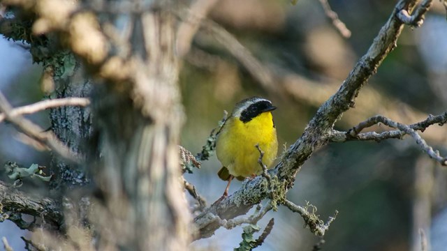
Animals
Learn about the animals that call Pictured Rocks home! 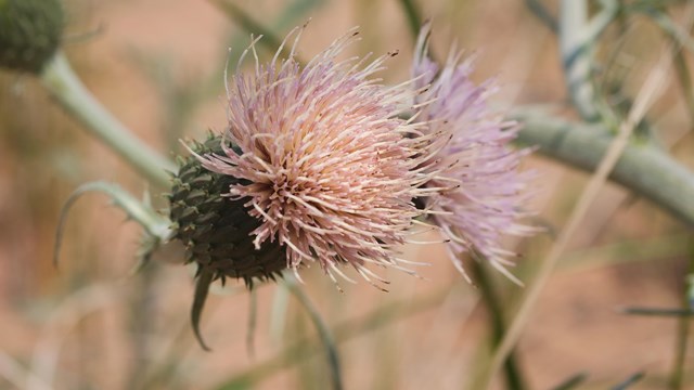
Plants
There are over 900 plant species at Pictured Rocks National Lakeshore! 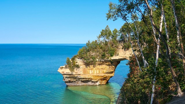
Geology
Pictured Rocks' geology is one of the most iconic aspects of the park! 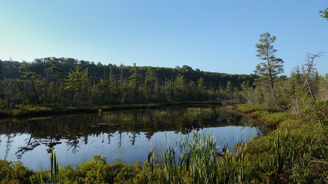
Wetlands
Wetlands, marshes, and swamps are incredibly important habitats - learn more about them here! 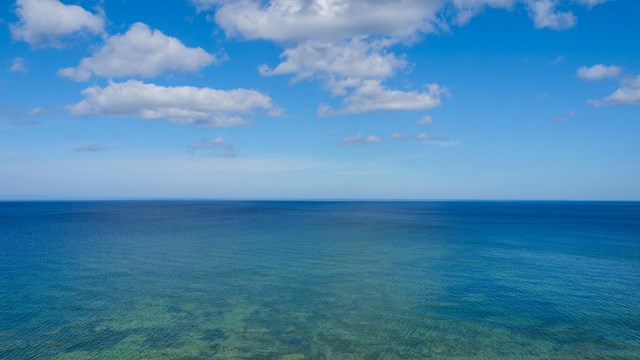
Lake Superior
Learn more about the largest of the Great Lakes! 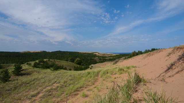
Sand Dunes
The Grand Sable Dunes represent one of the most unique ecosystems in the park! History & CultureThere are thousands of years of human history and use of the land that is now Pictured Rocks National Lakeshore. From Indigenous Ojibwe-Anishinaabe peoples to logging and maritime activities - this area is rich in history and culture!In the late 1800s and early 1900s, logging and mining in the Upper Peninsula was booming, creating commercial traffic on Lake Superior like never before seen! This increase in traffic quickly lead to more maritime accidents and shipwrecks, which in turn created a need for the U.S. Lifesaving Service and the U.S. Lighthouse Service - later turned the U.S. Coast Guard - on the Great Lakes. What is now Pictured Rocks National Lakeshore was an especially treacherous section of Lake Superior due to the difficulty of the adjacent terrain and severity of storms. There are several decomissioned U.S. Coast Guard stations and buildings throughout the park, including the Au Sable Light Station. The logging industry was a prevalent one in this area in the early 1900s. Today, little evidence remains of the structures they used, though an area once used for sending logs down to Lake Superior - Log Slide - remains a popular scenic site. 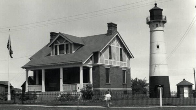
Maritime Sites
From range lights to Coast Guard stations, Pictured Rocks' maritime history is a rich one! 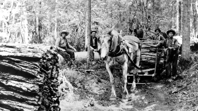
Logging History
From the late 1800s through the early 1900s, Michigan was in the midst of a lumber boom 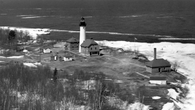
The Au Sable Light Station
Learn more about one of the most iconic maritime sites in the park. Learn More!Explore photos of the park's scenic sites, browse news releases, and check out our educational programs for school groups!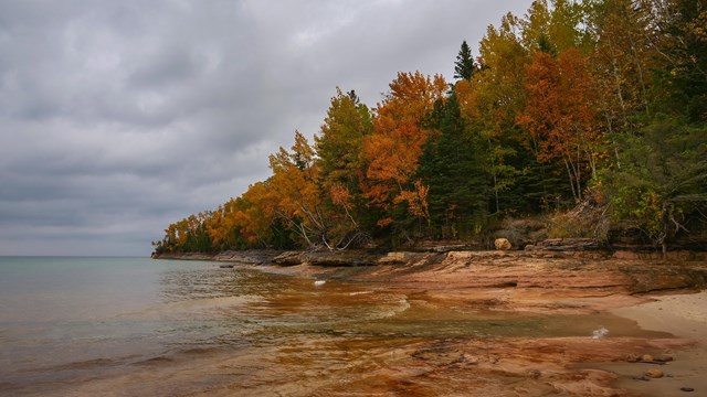
Photo Gallery
Browse photos of the park! 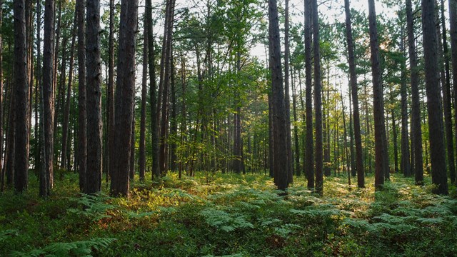
News Releases
Stay up to date on park news! 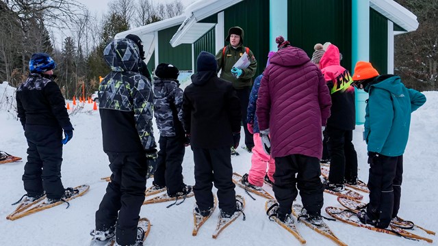
Education Programs
Learn about setting up a field trip for your school group! |
Last updated: April 26, 2024