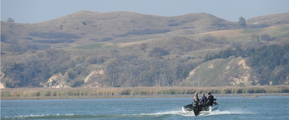
NPS Photo The Missouri National Recreational River offers scenic views and a variety of river opportunities for all boaters. The Missouri River Outdoor Recreation Access Guide shows public access sites for fishing, hunting, boating, and river access on the Nebraska side. Before Your Go - Please Read This!
General RulesAn accessible, U.S. Coast Guard-approved wearable personal flotation device is required for each person on board. The State of Nebraska requires a child under 13 to wear a U.S. Coast Guard-approved life preserver while aboard any vessel.
State Regulations
Boater Resources
CampingPrimitive camping is normally allowed on islands and sandbars. Please visit the Camping Page for more information including the park's Leave-No-Trace ethic ("pack-it-in, pack-it-out"). On the Nebraska side of the channel, the adjacent landowner owns all the land up to the center of the channel. This includes islands, bottomlands and even the riverbed. On the South Dakota side of the channel, the landowner owns up to the mean high water level. In several locations along the river, the state border is still undetermined. RemindersOne of the dangers of boating on the Missouri is missing the main channel and going around shallow areas. A sure sign of a shallow area is water rippling. The current passing over a barely submerged area causes this effect. Another way to avoid shallow water is to look for changes in the color of the water. Water that has a light brownish color compared to a deeper blue color of nearby water is a sign of a submerged sandbar. Snags should be avoided for the danger they present and the potential they pose for damage if struck by a boat. A particularly dangerous type of snag is the "widowmaker." This is a snag that is barely below the surface of the water. It can be seen as a V-shaped ripple of water. Some parts of the park are noticeably filled with snags. This is particularly true at North Alabama Bend to Mulberry Bend (river mile 779 to river mile 776). This and other areas filled with snags should be approached with caution and steered through slowly. There are no marinas or on-the-water gas services in the park. The closest ones are in Sioux City, Iowa, and on Lewis and Clark Lake (west of Gavins Point Dam). Missouri River MileageRiver mileage begins at the mouth of the Missouri just north of St. Louis, MO. From river mile 0 to 752 (near Ponca State Park, NE), the river is channelized for barge navigation. Two "natural" river segments comprise the Missouri National Recreational River. These reaches are located at: 59 miles between Ponca, NE, (river mile 752) and Gavins Point Dam (river mile 811) and 40 miles between Running Water, SD, (river mile 840) and Fort Randall Dam (river mile 880). A long, shallow and braided delta exists at the upstream end (headwaters) of Lewis and Clark Lake behind Gavins Point Dam. Also, the Niobrara River has formed a delta in the Missouri River on the upstream side of the headwaters. Extent of both deltas are from river mile 827 to river mile 847. |
Last updated: September 23, 2024
