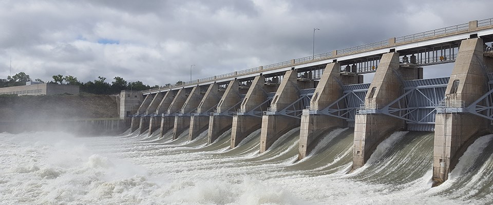
NPS Photo. When traveling the river please be aware of snags, stumps, sandbars, and floating debris. Always wear a life vest (personal floatation device) when on the river. Swimming in the river is discouraged because of unpredictable currents. Alerts39 Mile Reach - Fort Randall Dam to Running Water, SDThe 39-mile reach begins immediately downstream from Fort Randall Dam at Pickstown, South Dakota, and continues to Running Water, South Dakota. Flows on this reach are influenced by controlled releases from Fort Randall Dam. The water discharge rate can change hourly. The normal rate of flow is 3 to 5 mph. 59-Mile Reach - Gavins Point Dam to Ponca State ParkThe 59-mile reach stretches from about one mile below Gavins Point Dam to Nebraska's Ponca State Park. Gavins Point Dam regulates water flow on this reach of the river. The river channel follows a winding course. There are many snags and sandbars. Note: 16,000 CFS indicates low water, over 40,000 indicates very high water. Additional Information Current and Predicted River Conditions in the Middle Missouri River Basin from the National Weather Service.
|
Last updated: November 14, 2025
