|
Visit our keyboard shortcuts docs for details
A closer look at how SWAN scientists survey plots along the Cook Inlet Coast. 
Salt marshes are extremely dynamic ecosystems, located at the interface of land and sea. An analysis of air photos taken over a 50-year period (1955-2005) has shown measurable change in these systems, including channel abandonment and spruce establishment on beach ridges. Salt marsh communities are highly diverse, ranging from tidally-inundated sedge meadows to shrub-dominated bogs. The salt marsh monitoring sites are revisited every ten years, and where possible, aerial photos and climate data from tools like Remote Area Weather Stations (RAWS) and Moderate-resolution Imaging Spectroradiometer (MODIS) are used to interpret change over time.
Visit our keyboard shortcuts docs for details
SWAN Ecologist Mike walks us through the small and large-scale benefits that the Lake Clark National Park and Preserve salt marshes provide to us all. 
A Day on the Lake Clark Coastline
Watch the park's coastal orientation film. Learn more about bear viewing. 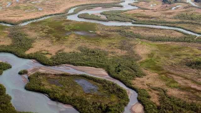
Coastal Salt Marshes
What makes a salt marsh special? Join NPS scientists from SWAN as they work along the Lake Clark coast. 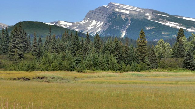
Silver Salmon Creek
Silver Salmon Creek boasts plentiful bear viewing opportunities and a steady coho salmon run. 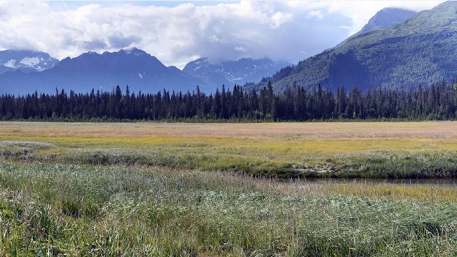
Chinitna Bay
Bear viewing is one of the main attractions at this gorgeous site on the Cook Inlet coast. Brown bears gather in the coastal salt marshes. 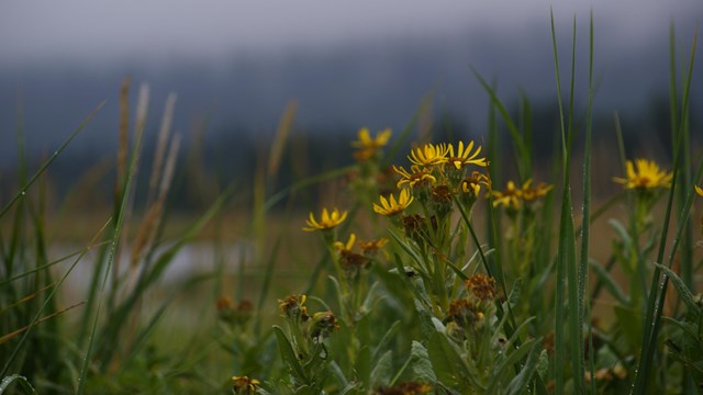
Checklist: Common Salt Marsh Plants
Brush up your knowledge of common sedges, grasses, flowers, and other plants of the Cook Inlet Coast. 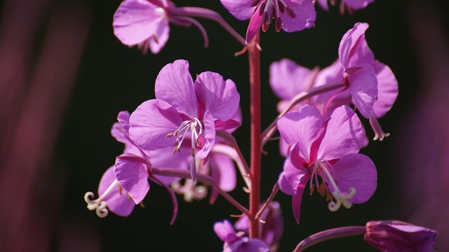
Common Showy Flowers of Cook Inlet
Look closer at common showy flowers to learn how to identify and where to find them. 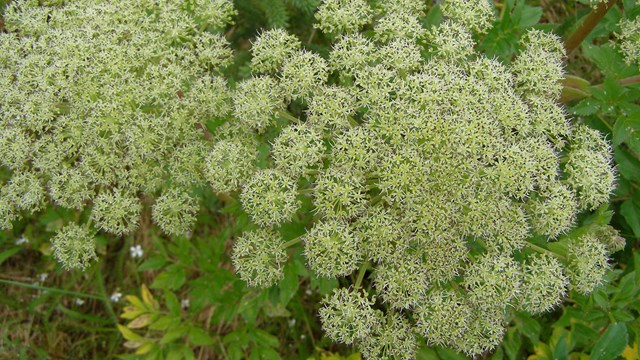
Sedges and Grasses of Cook Inlet
Get a closer look at common salt marsh sedges and grasses and how to identify them. |
Last updated: December 16, 2020