|
Skagway is a good starting point for several interesting day hikes. Stop by the Visitor Center to pick up maps and further information. The only National Park Service hiking trail in Klondike Gold Rush National Historical Park is the Chilkoot Trail. Our listed hikes below are on Forest Service or other public lands, but are neither maintained nor patrolled by NPS personnel. Descriptions of trails courtesy of City of Skagway and are duplicated from the Skagway Trail Map. Distance and time are round trip (return) estimates from the NPS Visitor Center at 2nd and Broadway except where indicated. 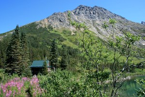
NPS photo Upper Dewey Lake Getting to the trailhead: From Lower Dewey Lake go left at the junction sign, follow the trail north across several wooden footbridges to the Upper Dewey Lake trail junction sign and turn right up the trail.
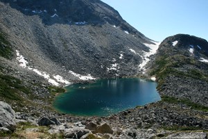
NPS photo Devil's Punchbowl Getting to the trailhead and trail description: From Upper Dewey Lake, follow the narrow footpath south from the primitive cabin up the alpine ridge to a spectacular overlook. Watch for rock cairns where the trail crosses boulder fields. Devil’s Punchbowl is a tarn nestled in a deep, rocky bowl, but it is not a recommended camping spot. 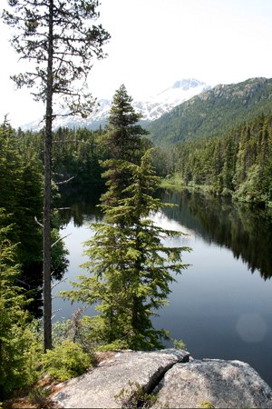
NPS photo Lost Lake Getting to the trailhead: Park at the Slide Cemetery and walk .8 mile (1.3 km) north to the trailhead sign.
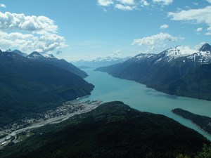
Photo courtesy of K. Rain A. B. Mountain Getting to the trailhead: This trail is accessible from a trailhead on the Dyea Road. Visitors without cars can hike the Smuggler's Cove trail and take the access road up to the Dyea road. From there, turn left and walk along the road a short distance until you see the trailhead across the road. 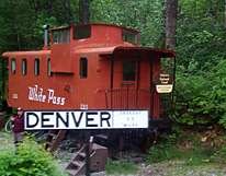
NPS Denver Glacier Distance: 4-6 miles (6-10 km) round trip from railroad stop 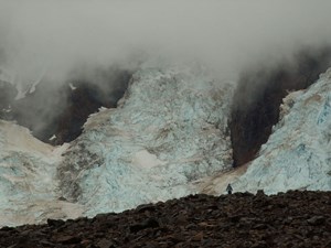
NPS photo Laughton Glacier Hiking around Skagway
|
Last updated: August 7, 2024
