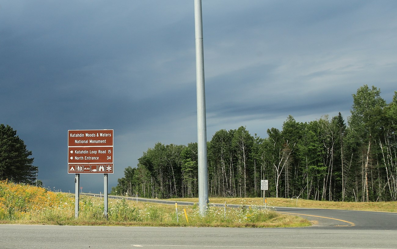
NPS/Alyssa Mattei Most visitors arrive at Katahdin Woods and Waters National Monument by car. The monument is located in north central Maine, approximately a 2.5-hour drive west of Acadia National Park in Bar Harbor and 1.5-hour drive north of Bangor, Maine. The closest major airport to both parks is the Bangor International Airport. Public transportation options to and from the park are extremely limited. Cyr Bus Line provides bus transportation from Bangor to the town of Sherman, just outside the south entrance to the monument. Driving DirectionsYou can access all parts of the monument from I-95. Take exit 244 (Medway) or exit 264 (Sherman) to access Maine Route 11. Maine Route 11 in this area is also known as the Katahdin Woods and Waters National Scenic Byway. It is the main access route to the monument. Once you exit I-95, you will travel on Maine Route 11 to access the monument. If you are southbound on I-95, you can also access the monument from exit 276 (Island Falls). Vehicle length of any vehicles utilizing monument roadways shall not exceed 40 feet (including any trailers). Vehicle height of any vehicles utilizing monument roadways shall not exceed 9 feet. North EntranceFrom Exit 244From Exit 244 (Medway), head west for approximately 0.8 miles towards Medway and turn right onto Route 11 (also called Grindstone Road). If you cross the East Branch Penobscot River, you have missed the turn for Route 11 north. Continue north on Maine Route 11 to Patten. Turn left onto Maine Route 159 (also called Shin Pond Road). Maine Route 159 continues for approximately 11.6 miles and then becomes Grand Lake Road. Continue on Grand Lake Road for another approximately 12.7 miles, then turn left onto New River Road (also known as Messer Pond Road) to access the North Entrance. From Exit 264From Exit 264 (Sherman), follow signs for Maine Route 11 north towards Patten. In approximately 10 miles, turn left onto Maine Route 159 (also called Shin Pond Road). Maine Route 159 continues for approximately 11.6 miles and then becomes Grand Lake Road. Continue on Grand Lake Road for another approximately 12.7 miles, then turn left onto New River Road (also known as Messer Pond Road) to access the North Entrance. From Exit 276From Exit 276 (Island Falls), proceed west to Patten on Route 159 for approximately 8 miles. At the junction of Maine Route 159 & Maine Route 11, follow the above directions to access the North Entrance by Maine Route 159 and Grand Lake Road. South Entrance and Katahdin Loop RoadFrom Exit 244From Exit 244 (Medway), head west for approximately 0.8 miles towards Medway and turn right onto Maine Route 11 (also called Grindstone Road). If you cross the East Branch Penobscot River, you have missed the turn for Maine Route 11. Follow Maine Route 11 for approximately 20 miles and then turn left onto Swift Brook Road (it is a gravel road). Use caution with this turn as sight distance is limited. The Swift Brook Road will lead you to the Katahdin Loop Road in approximately 10 miles. From Exit 264From Exit 264 (Sherman), follow signs for Maine Route 11. To reach the south entrance and the Katahdin Loop Road, turn left at the next intersection (onto Grindstone Road) to stay on Maine Route 11. In approximately 5 miles continue straight onto the gravel road when the paved road curves left. This gravel road will lead you to the Swift Brook Road and to the Katahdin Loop Road. From Exit 276From Exit 276 (Island Falls), proceed west to Patten on Maine Route 159 for approximately 8 miles. At the junction of Maine Route 159 & Maine Route 11, follow the above directions for access to either the Swift Brook Road or the Katahdin Loop Road. Traveling on Swift Brook RoadUse caution when traveling on the Swift Brook Road, which is a gravel road. All gravel roads in the area are shared with logging and equipment trucks. Logging trucks always have the right of way. It is important to drive slowly, keep to the right side of the road, and yield to oncoming trucks. If you are traveling north on Maine Route 11, use caution when making the left turn onto Swift Brook Road as there is limited sight distance.
|
Last updated: February 3, 2025
