Five Arctic parks encompass 19.3 million acres of land—25% of the land area managed by the National Park Service nationwide. Only a single road crosses these lands, a 23-mile gravel industrial road through the northern end of Cape Krusenstern National Monument.
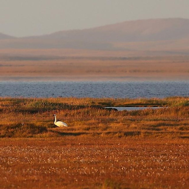
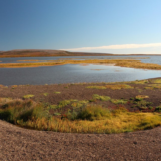
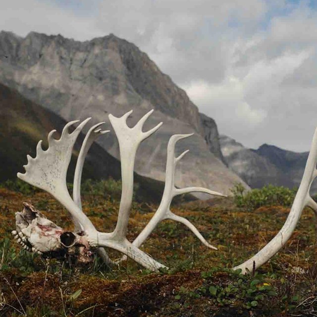
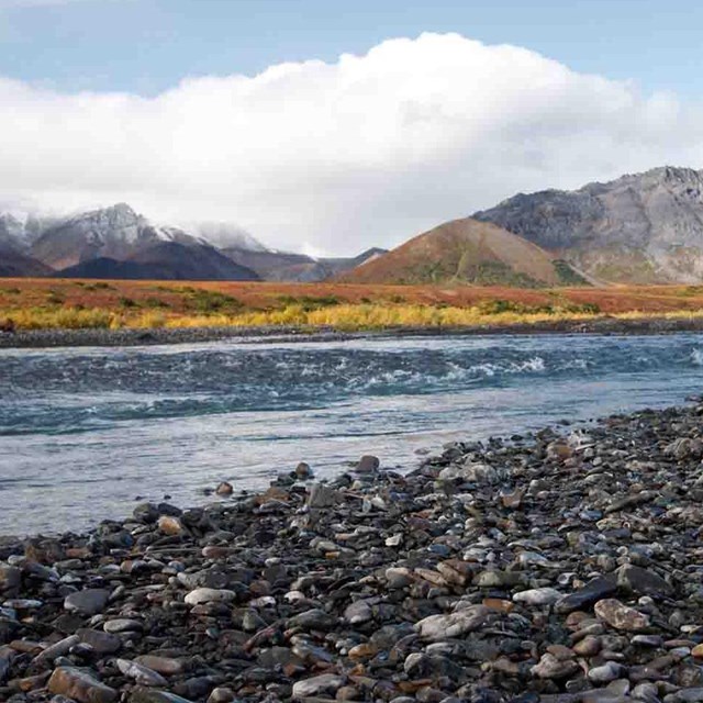
Interior parks in this Arctic cluster (Gates of the Arctic National Park and Preserve, Kobuk Valley National Park, and Noatak National Preserve) extend from the rocky and barren mountains of the central and western Brooks Range to the southern Chukchi Sea to the west. Together, Bering Land Bridge National Preserve and Cape Krusenstern National Monument represent the third-largest block of coastline in the National Park Service—approximately 946 miles (1,514 km). In these parks one can find dry alpine tundra, lowland wet tundra, boreal forest, coastal tundra, lagoons, and estuaries, all underlain by permafrost. This is wilderness at a massive scale with largely intact ecosystems, but also a land that has been inhabited by people for thousands of years.
More than 10,000 years ago, people crossed from East Asia into North America through a large area of land (now largely submerged beneath the ocean) referred to as the Bering Land Bridge. Today's cultural groups of the region remain tied to the ancestors who first crossed over from Siberia, and many still have living relatives on the other side of the Bering Strait. In the Brooks Range, archaeological sites show evidence of people on the land for more than 13,000 years. Traditionally, populations were small and mobile, moving throughout the year among a series of camps to harvest seasonally available foods. It was not until last century that people settled in permanent, year-round villages. Today Athapaskan and Inupiat descendants as well as various non-Native Alaskan peoples still rely on subsistence activities within and around the Arctic parks and preserves.