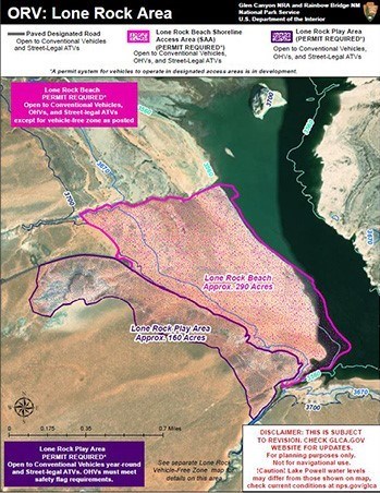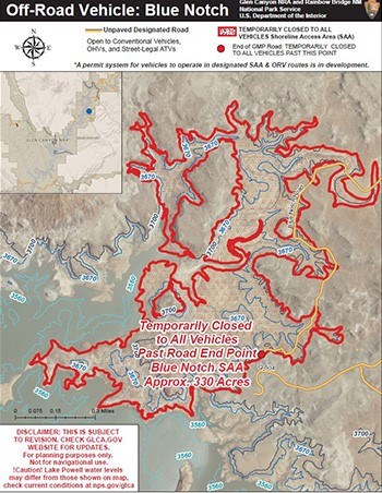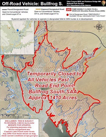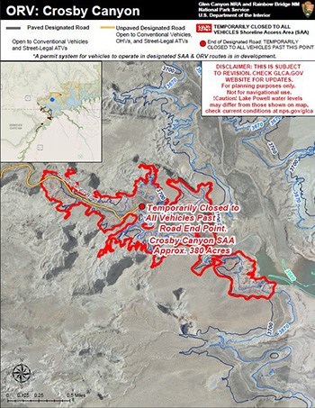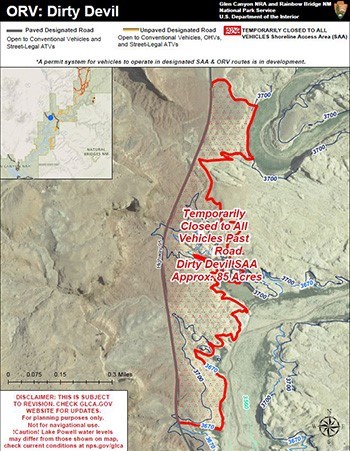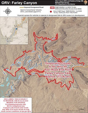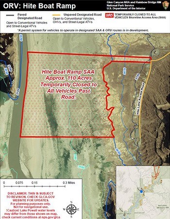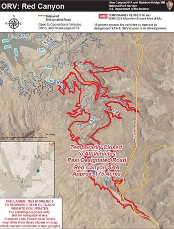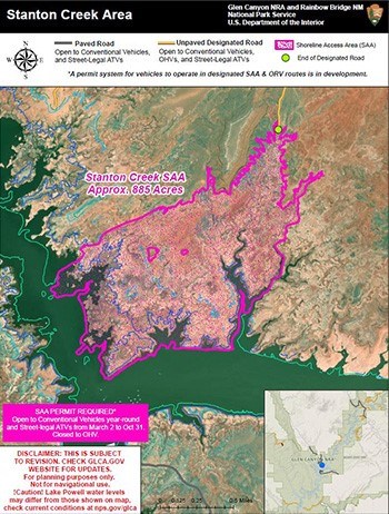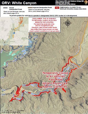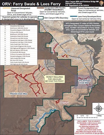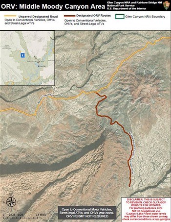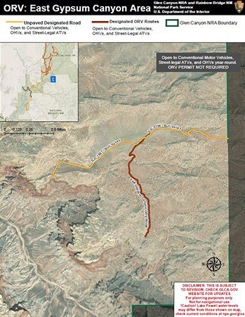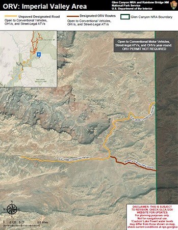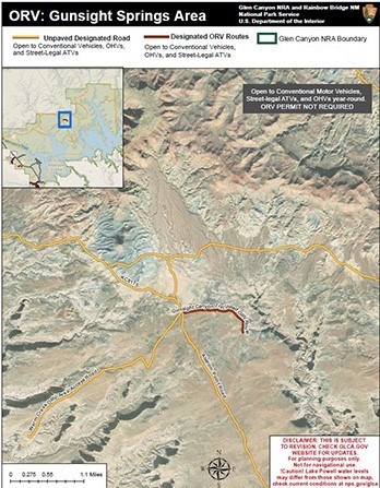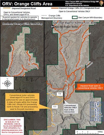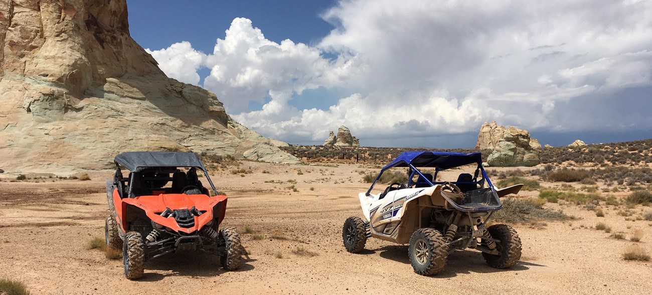
NPS Riding off-road in the park is allowed only on these National Park Service-designated ORV routes and areas. Pay attention to each location’s specific rules (e.g., speed limits, seasonal closures) set by park management. It's the drivers responsibility to know where your vehicle is allowed. Glen Canyon's General Management Plan (GMP) established Park Designated Roads.
Shoreline Access Areas (SAA)Designated Shoreline Access Areas are open only to conventional motor vehicles and street-legal ATVs with a permits. Some areas are closed to street-legal ATVs seasonally. Unpaved Designated Roads within SAA do not require a permit. Speed limits are 15 mph unless otherwise posted.
ORV Permits are separate from park entrance fees. To purchase a entrance pass, visit our fees webpage. If the road, route, or shoreline area is not officially designated on the map, it is closed to motorized vehicle use. Do not be fooled by “social trails” seen on the ground. Minimize your impact by staying on designated routes.
Select ORV maps from the park map below or scroll down to see the complete list.Maps depicting designated area or route for off-road motor vehicle use as listed in Federal Register/Vol 86, No 10.
|
Last updated: August 8, 2024


