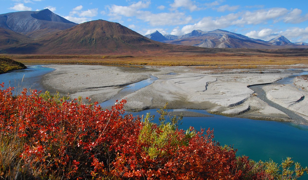
NPS/Penny Knuckles The Noatak River is one of the longest designated Wild Rivers in Alaska. Entirely above the Arctic Circle, it traverses alpine tundra, rolls through canyons and over plains, and ends up in a flat coastal delta where it drains into Kotzebue Sound. It provides easy to moderate floating through a glacial valley with snowcapped peaks and good opportunities for wildlife observation. The Noatak drains the largest mountain ringed river basin in America that is still virtually unaffected by human activities. However, this high-use area is a designated wilderness concern. Vegetation around lakes at the various put-in and take-out points is being destroyed and the impact is detracting from the area's wild character. After arriving, move directly to the river to camp on gravel bars. Use existing trails between lakes and the river and do not build fires on the tundra. Approximate Length65 mi / 104 km — The Noatak River continues for another 265 mi / 426 km through Noatak National Preserve Scenic QualityGlacial valley with snowcapped peaks Recreational OpportunitiesOne of the longest designated wild rivers in Alaska; good floating, sightseeing, and wildlife viewing opportunities. Geologic FeaturesMount Igikpak and Schwatka Mountains of west-central Brooks Range; narrow glacial valley Natural ResourcesPlentiful caribou, Dall sheep, grizzly bear, and several species of raptors Cultural ResourcesTransportation route by natives for thousands of years |
Last updated: April 12, 2023

