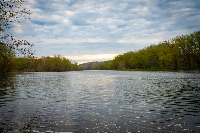
NPS/M.Cuff Delaware River Conditions
Water Flow DataThe Delaware River provides water to over 17 million people. Want to know more about where your water comes from?
IMPORTANT: Remember that gage height and water depth are not the same. The water depth in the Delaware River varies wildly and unexpectedly. There are sharp drop offs and swift currents hidden just below the seemingly calm surface of the water. Gage height refers to a measurement at a specific location, in this case Montague, NJ. The gage will not give an accurate measurement of the river depth in any other areas. It does, however, give some insight into what the downriver conditions may look like to make a river trip more predictable. Here are a few to values to keep in mind when viewing the graphs below. Click on the graphs to be directed to the appropriate USGS webpage.
Additional River ResourcesUpper Delaware RiverNational Weather Service Conditions for Upper Delaware Basin, Middle Delaware River (within park)Information for Tocks Island River Depth Gauge Lower Delaware River (including Lehigh River)
Have a question about today's weather?
Feel free to contact us with any questions or concerns while planning your visit.
Voice: 570-426-2452
| ||||||||||||||||||||||||||||
Last updated: August 26, 2025
