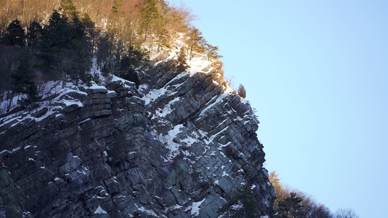
NPS Photo / M. Cuff A Timeline of the Parks FormationHow did we get here? Today, we have this beautiful wooded paradise for all of us to enjoy, but it wasn't always that way. This park didn't just appear by magic. It came through work,struggle, and sacrifice. It took an act of Congress. The history of this park is as painful as it is beautiful. The story of our creation is one of passion and a love of the land that was so strong that today, we get to benefit from that sacrifice, and that love. Below is a timeline of the history of the park. Let the links tell you a story of great Americans and their commitment to their families, their neighbors, and their community. 1930s The idea of damming a river as a form of flood control begins in New York. First modern proposals for a dam at Tocks Island come soon after 1955 Hurricanes Connie and Diane devastate the valley, causing flooding, widespread damage, and high death toll
Conclusion
The nearly 70,000 acres of the recreation area are rich in both cultural and natural history. The ridges and river valley contain streams, waterfalls, geologic features, a diversity of plants and wildlife, and traces of past cultures, including significant Native American artifacts and sites. Forty miles of the middle Delaware River are the primary focus of park recreation: fishing, boating, canoeing, and swimming. In addition, the park offers opportunities for hiking, biking, picnicking, hunting, auto touring, and good old fashioned outdoor recreation in general. Today, the National Recreation Area receives more than 5,000,000 visits each year, making it the 8th most-visited unit of the entire National Park System. That's a lot of people for such a small place. It sure means so much, to so many. What does it mean to you? |
Last updated: October 7, 2022
